Login

Si pozabil/a podatke za prijavo?

Cookies have to be accepted!
Your browser's cookie functionality is disabled. Please enable this functionality.

Not a member yet?

Register now
Login

Available for registred users only

Log in to use this feature.

Si pozabil/a podatke za prijavo?

Cookies have to be accepted!
Your browser's cookie functionality is disabled. Please enable this functionality.

Not a member yet?

Register now
Filter
Kategorije
Advanced filters
  • Dolžina (km)
  • Metri nadmorske višine
Shrani filter Reset filter

TrackRank

QRCode

Technical data

Dolžina46,6 km Metri nadmorske višine72 m Way down64 m Trajanje03:00 h:m Datum07.09.2014
Ocene Author Pokrajina Dejavnik zabave Kondicija Tehnika

Statistika

334 Pogledi Ocene 52 Prenosi Povprečje
Rate
  • List z izleti
  • Prihod
  • Prenosi

Gestartet wird bei dieser Tour in Lübben. Über geteerte Wege geht es nach Alt-Zauche. Dort kann dann auch die erste Pause www.panoramio.com/photo/111517779 gemacht werden.


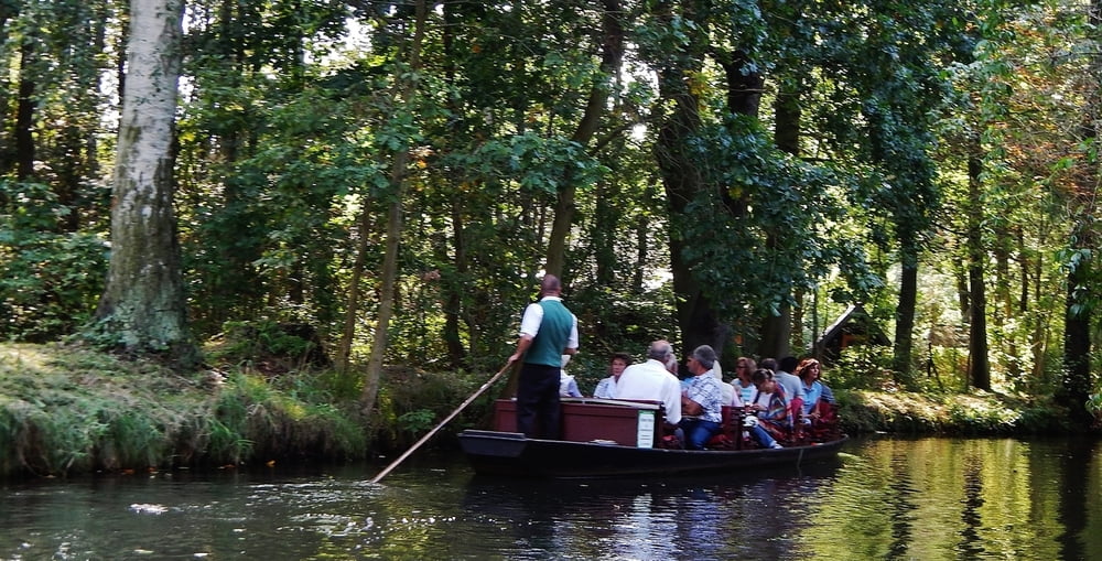
Weiter geht es dann über "schlechtere" Wege nach Lübbenau. Ab und zu werden kleine Spreearme über kleine Brücken mit Treppen gequert. Bei Ankunft in Lübbenau wird im "Kleinen Hafen am Spreeschlößchen" die Chance eines 1,5 h Bootsausflugs genutzt www.panoramio.com/photo/111518995.


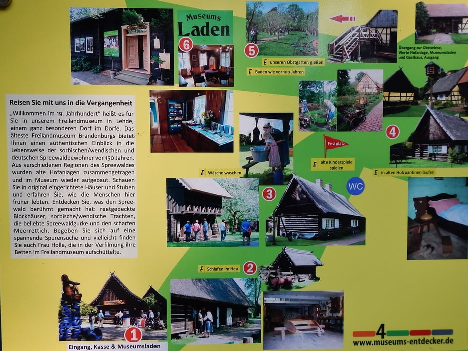
Danach wird noch ein kurzer Ausflug zum Freiland Museum in Lehde gemacht www.panoramio.com/photo/111520433.


Anschließend geht es auf kürzestem Weg an der Spree entlang zurück nach Lübben.


Alle Bilder  - in umgekehrter Reihenfolge - gibt es hier: www.panoramio.com/photo/111520848


Further information at

http://www.unesco.de/spreewald.html

Galerija izletov

Zemljevid in višinski profil izleta

  • Open Street Map
  • Google
Minimum height 40 m Maximum height 60 m Prikaz podrobnosti

More about the tour author

MatthiasBy
Member since 2008

Send private message

Komentarji

Die Orte Lübben und Lübbenau sind beide sehenswert. Parken ist kein Problem.


Poti GPS

Trackpoints
  • GPX / Garmin Map Source (gpx) download
  • TCX / Garmin Training Center® (tcx) download
  • CRS / Garmin Training Center® (crs) download
  • Google Earth (kml) download
  • G7ToWin (g7t) download
  • TTQV (trk) download
  • Overlay (ovl) download
  • Fugawi (txt) download
  • Kompass (DAV) Track (tk) download
  • List z izleti (pdf) download
  • Original file of the author (gpx) download

More about the tour author

MatthiasBy
Member since 2008

Send private message
Share track
Add to my favorites
Remove from my favorites
Edit tags
My score
Rate
Izlet: Biosphärenreservat Spreewald: Von Lübben nach Lübbenau und zurück (und noch ein Bootsfahrt auf der Spree)
Vrsta: Treking kolo
Dolžina: 46,6 km
Evaluated on:
Trajanje:
Day(s)
Hour(s)
Minute(s)
Ocena: Pokrajina Dejavnik zabave Kondicija Tehnika