Login

Si pozabil/a podatke za prijavo?

Cookies have to be accepted!
Your browser's cookie functionality is disabled. Please enable this functionality.

Not a member yet?

Register now
Login

Available for registred users only

Log in to use this feature.

Si pozabil/a podatke za prijavo?

Cookies have to be accepted!
Your browser's cookie functionality is disabled. Please enable this functionality.

Not a member yet?

Register now
Filter
Kategorije
Advanced filters
  • Dolžina (km)
  • Metri nadmorske višine
Shrani filter Reset filter

TrackRank

QRCode

Technical data

Dolžina6,1 km Metri nadmorske višine423 m Way down370 m Trajanje04:00 h:m Datum17.09.2014
Ocene Author Pokrajina Dejavnik zabave Kondicija Tehnika

Statistika

634 Pogledi Ocene 23 Prenosi Povprečje
Rate
  • List z izleti
  • Prihod
  • Prenosi
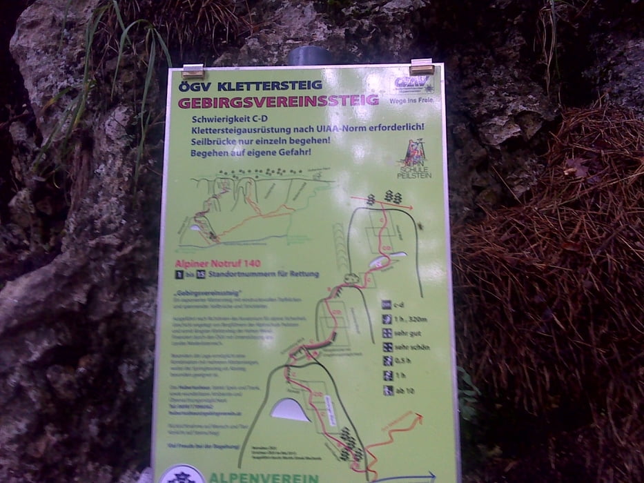
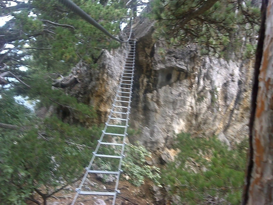
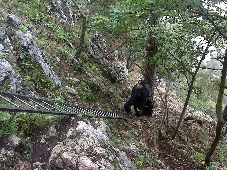
Azt hittem könnyebb. Hát nem az. Csúszós nedves sziklákon kell menni, és a D-s részeken alig van hova tenni a lábunkat.

Galerija izletov

Zemljevid in višinski profil izleta

  • Open Street Map
  • Google
Minimum height 682 m Maximum height 1060 m Prikaz podrobnosti

More about the tour author

anyosati
Member since 2013

Send private message

Komentarji

Poti GPS

Trackpoints
  • GPX / Garmin Map Source (gpx) download
  • TCX / Garmin Training Center® (tcx) download
  • CRS / Garmin Training Center® (crs) download
  • Google Earth (kml) download
  • G7ToWin (g7t) download
  • TTQV (trk) download
  • Overlay (ovl) download
  • Fugawi (txt) download
  • Kompass (DAV) Track (tk) download
  • List z izleti (pdf) download
  • Original file of the author (gpx) download

More about the tour author

anyosati
Member since 2013

Send private message
Share track
Add to my favorites
Remove from my favorites
Edit tags
My score
Rate
Izlet: Gebirgsvereinssteig-Wagnersteig
Vrsta: Plezalna pot
Dolžina: 6,1 km
Evaluated on:
Trajanje:
Day(s)
Hour(s)
Minute(s)
Ocena: Pokrajina Dejavnik zabave Kondicija Tehnika