
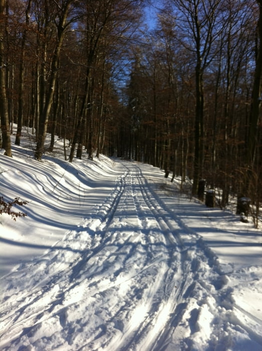

Die Tour beginnt am Parkplatz Weilsberg oder Rotes Kreuz und führt zunächst leicht abwärts in Richtung Niederreifenberg. Die Loipe läuft hangparallel zu Niederreifenberg und führt abwärts bis zur L3276. Nach ca. 3 Kilometern biegt die Loipe im rechten Winkel nach Westen ab. Nach ca. 300m steilem Anstieg folgt die Loipe der Hühnerstraße bis kurz vor die Kittelhütte, vor der sie nach links abbiegt. Der Rückweg verläuft hangparallel ca. 2,6 km bis er nach einer malerischen Felsgruppe links abbiegt und steil bergauf zum Parkplatz zurück führt.
Further information at
http://www.naturpark-taunus.de/#wintersport/ski-langlauf-loipen/kittelhuette---weilsberg/Zemljevid in višinski profil izleta
Minimum height 395 m
Maximum height 486 m
More about the tour author

|
Komentarji

Poti GPS
Trackpoints-
GPX / Garmin Map Source (gpx) download
-
TCX / Garmin Training Center® (tcx) download
-
CRS / Garmin Training Center® (crs) download
-
Google Earth (kml) download
-
G7ToWin (g7t) download
-
TTQV (trk) download
-
Overlay (ovl) download
-
Fugawi (txt) download
-
Kompass (DAV) Track (tk) download
-
List z izleti (pdf) download
-
Original file of the author (gpx) download
More about the tour author
|
|
Add to my favorites
Remove from my favorites
Edit tags
Open track
My score
Rate