Login

Si pozabil/a podatke za prijavo?

Cookies have to be accepted!
Your browser's cookie functionality is disabled. Please enable this functionality.

Not a member yet?

Register now
Login

Available for registred users only

Log in to use this feature.

Si pozabil/a podatke za prijavo?

Cookies have to be accepted!
Your browser's cookie functionality is disabled. Please enable this functionality.

Not a member yet?

Register now
Filter
Kategorije
Advanced filters
  • Dolžina (km)
  • Metri nadmorske višine
Shrani filter Reset filter

TrackRank

QRCode

Technical data

Dolžina104,5 km Metri nadmorske višine548 m Way down1124 m Trajanje08:04 h:m Datum16.07.2015
Ocene Author Pokrajina Dejavnik zabave Kondicija Tehnika

Statistika

422 Pogledi Ocene 51 Prenosi Povprečje
Rate
  • List z izleti
  • Prihod
  • Prenosi
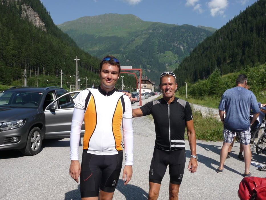
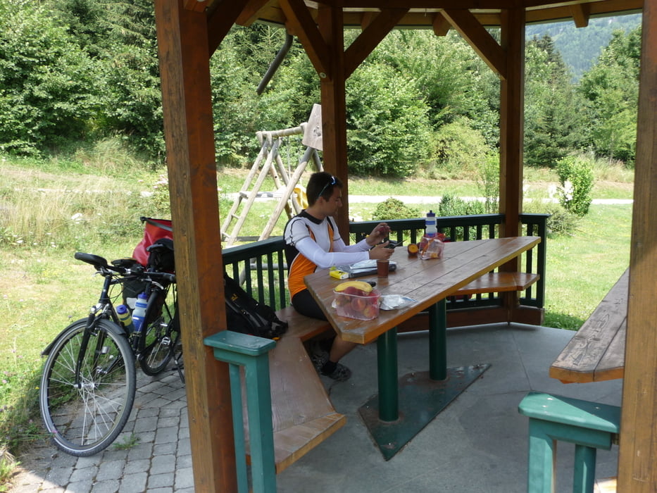
Heute fahren wir von Bad Gastein zur Tauernschleuse. Es geht gute 4 Kilometer leicht bergauf. Stündlich fährt der Autozug, der auch Fahrräder mitnimmt, durch die Schleuse von Böckstein nach Mallnitz. Ab Mallnitz führt die Tour zunächst rasante 8 Kilometer steil bergab. Danach geht es leicht hügelig in Richtung Spittal an der Drau. Bei Möllbrücke treffen wir dann auf den Drauradweg. Diesen folgen wir dann bis Villach.

Galerija izletov

Zemljevid in višinski profil izleta

  • Open Street Map
  • Google
Minimum height 489 m Maximum height 2545 m Prikaz podrobnosti

More about the tour author

lolue
Member since 2009

Send private message

Komentarji

Poti GPS

Trackpoints
  • GPX / Garmin Map Source (gpx) download
  • TCX / Garmin Training Center® (tcx) download
  • CRS / Garmin Training Center® (crs) download
  • Google Earth (kml) download
  • G7ToWin (g7t) download
  • TTQV (trk) download
  • Overlay (ovl) download
  • Fugawi (txt) download
  • Kompass (DAV) Track (tk) download
  • List z izleti (pdf) download
  • Original file of the author (gpx) download

More about the tour author

lolue
Member since 2009

Send private message
Share track
Add to my favorites
Remove from my favorites
Edit tags
My score
Rate
Izlet: Alpe Adria Radweg 3. Etappe
Vrsta: Izleti s kolesom
Dolžina: 104,5 km
Evaluated on:
Trajanje:
Day(s)
Hour(s)
Minute(s)
Ocena: Pokrajina Dejavnik zabave Kondicija Tehnika