Login

Si pozabil/a podatke za prijavo?

Cookies have to be accepted!
Your browser's cookie functionality is disabled. Please enable this functionality.

Not a member yet?

Register now
Login

Available for registred users only

Log in to use this feature.

Si pozabil/a podatke za prijavo?

Cookies have to be accepted!
Your browser's cookie functionality is disabled. Please enable this functionality.

Not a member yet?

Register now
Filter
Kategorije
Advanced filters
  • Dolžina (km)
  • Metri nadmorske višine
Shrani filter Reset filter

TrackRank

QRCode

Technical data

Dolžina47,7 km Metri nadmorske višine1530 m Way down1509 m Trajanje00:00 h:m Datum06.10.2015
Ocene Author Pokrajina Dejavnik zabave Kondicija Tehnika

Statistika

401 Pogledi Ocene 69 Prenosi Povprečje
Rate
  • List z izleti
  • Prihod
  • Prenosi

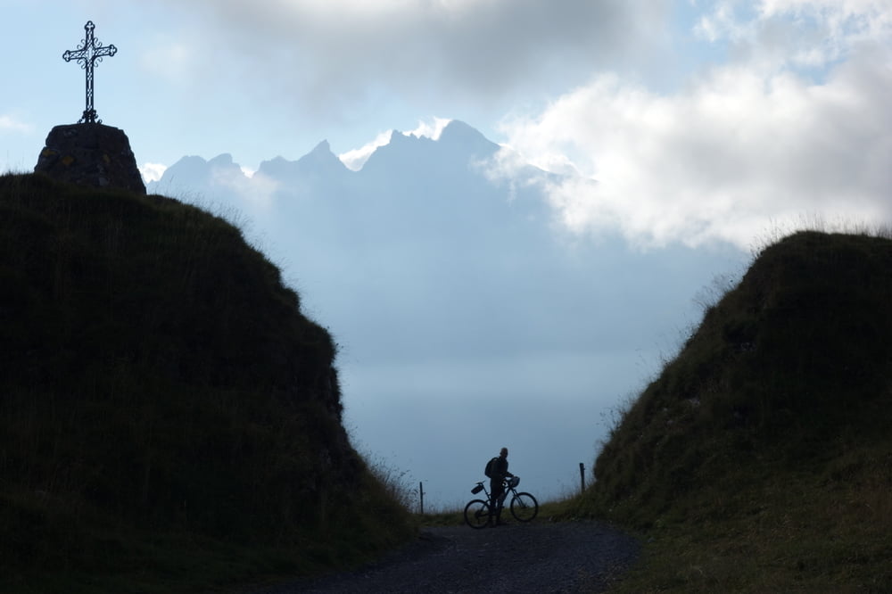
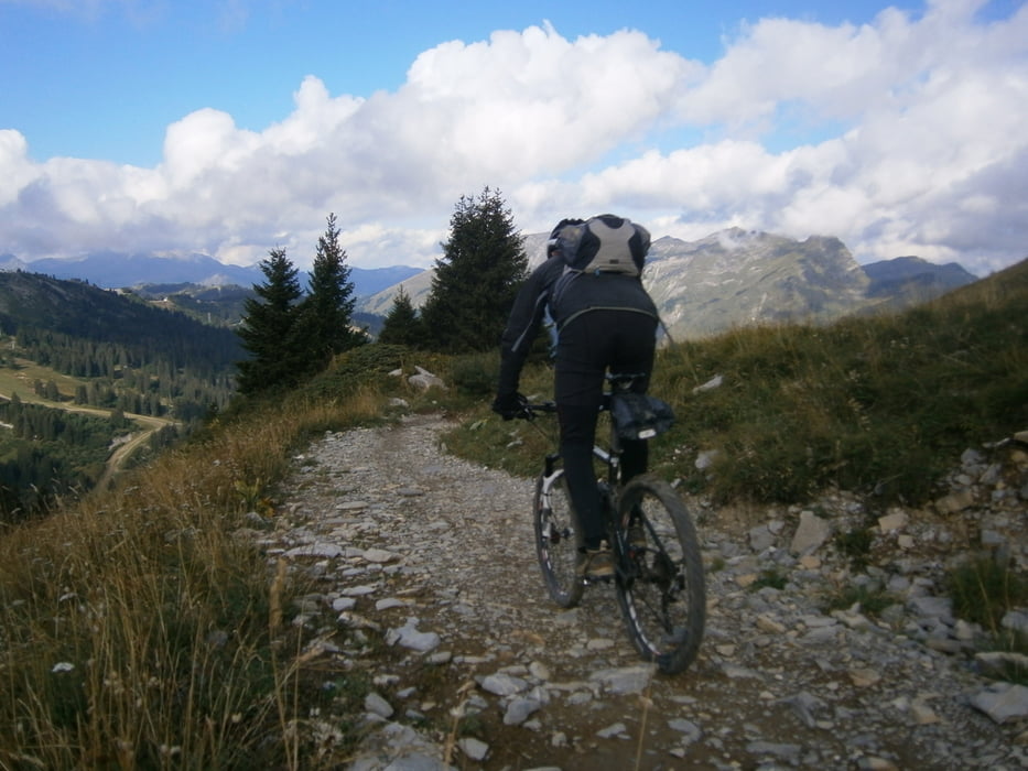
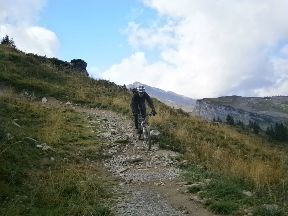
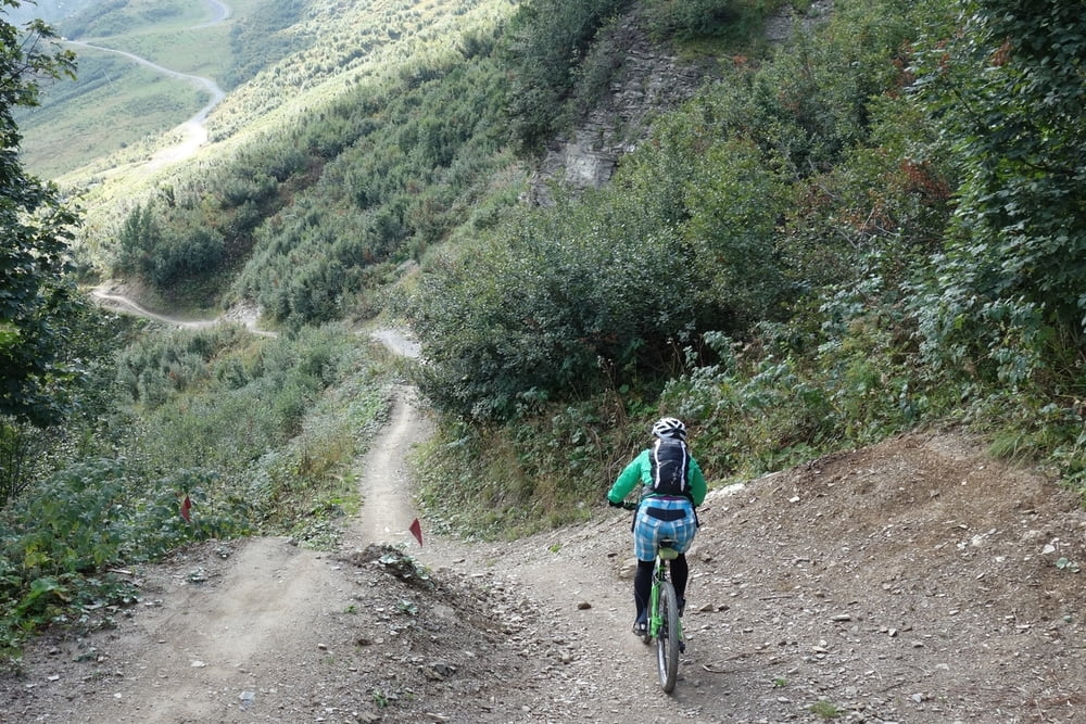
Wunderschöne Tour mit vielen Trails im Grenzgebiet Schweiz/Frankreich. Im Skigebiet von Chatel kann man sich noch im Bikepark austoben. Einkehr in vielen schönen Almen möglich.


Galerija izletov

Zemljevid in višinski profil izleta

  • Open Street Map
  • Google
Minimum height 1342 m Maximum height 2079 m Prikaz podrobnosti

More about the tour author

haaaatz
Member since 2011

Send private message

Komentarji

Poti GPS

Trackpoints
  • GPX / Garmin Map Source (gpx) download
  • TCX / Garmin Training Center® (tcx) download
  • CRS / Garmin Training Center® (crs) download
  • Google Earth (kml) download
  • G7ToWin (g7t) download
  • TTQV (trk) download
  • Overlay (ovl) download
  • Fugawi (txt) download
  • Kompass (DAV) Track (tk) download
  • List z izleti (pdf) download
  • Original file of the author (gpx) download

More about the tour author

haaaatz
Member since 2011

Send private message
Share track
Add to my favorites
Remove from my favorites
Edit tags
My score
Rate
Izlet: Schöne Trail im Hinterland des Genfer Sees.
Vrsta: Gorsko kolo
Dolžina: 47,7 km
Evaluated on:
Trajanje:
Day(s)
Hour(s)
Minute(s)
Ocena: Pokrajina Dejavnik zabave Kondicija Tehnika