


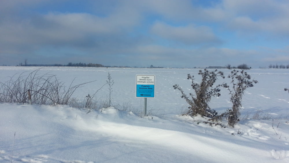
Vom Parkplatz zurück zur Straße, rechts über sie hinweg: wir schnallen die Schneeschuhe an, am Waldrand entlang, links leicht aufwärts und rechts wendend erreichen wir Flurweg. Hier nun gehen wir einfach immer wieder geradeaus über das ebene Plateau hinweg; gelegentlich geht es über/ um Raps- Stoppelfelder!
HINWEIS zum Video:
Mit Mozilla Firefox und Flash- Player Plugin startet das Video direkt.
Andernfalls verwendet ihr in eurem Browser den Link:
https://www.google.de/#q=lUlx7-gkqQ
Galerija izletov

Zemljevid in višinski profil izleta
Minimum height 507 m
Maximum height 536 m
More about the tour author
|
|
heinz-57 |
Komentarji

Von Neunkirchen am Brand kommend Richtung Rödlas/ Ermreuth. Am höchsten Punkt im Waldstück mit Hinweisschild zu Wanderparkplatz.
Poti GPS
Trackpoints-
GPX / Garmin Map Source (gpx) download
-
TCX / Garmin Training Center® (tcx) download
-
CRS / Garmin Training Center® (crs) download
-
Google Earth (kml) download
-
G7ToWin (g7t) download
-
TTQV (trk) download
-
Overlay (ovl) download
-
Fugawi (txt) download
-
Kompass (DAV) Track (tk) download
-
List z izleti (pdf) download
-
Original file of the author (gpx) download
More about the tour author
|
|
heinz-57 |
Add to my favorites
Remove from my favorites
Edit tags
Open track
My score
Rate