Login

Si pozabil/a podatke za prijavo?

Cookies have to be accepted!
Your browser's cookie functionality is disabled. Please enable this functionality.

Not a member yet?

Register now
Login

Available for registred users only

Log in to use this feature.

Si pozabil/a podatke za prijavo?

Cookies have to be accepted!
Your browser's cookie functionality is disabled. Please enable this functionality.

Not a member yet?

Register now
Filter
Kategorije
Advanced filters
  • Dolžina (km)
  • Metri nadmorske višine
Shrani filter Reset filter

TrackRank

QRCode

Technical data

Dolžina42,7 km Metri nadmorske višine1019 m Way down1019 m Trajanje00:00 h:m Datum17.03.2016
Ocene Author Pokrajina Dejavnik zabave Kondicija Tehnika

Statistika

501 Pogledi Ocene 82 Prenosi Povprečje
Rate
  • List z izleti
  • Prihod
  • Prenosi

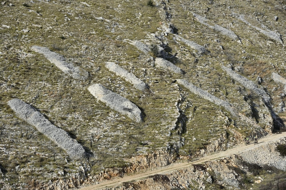
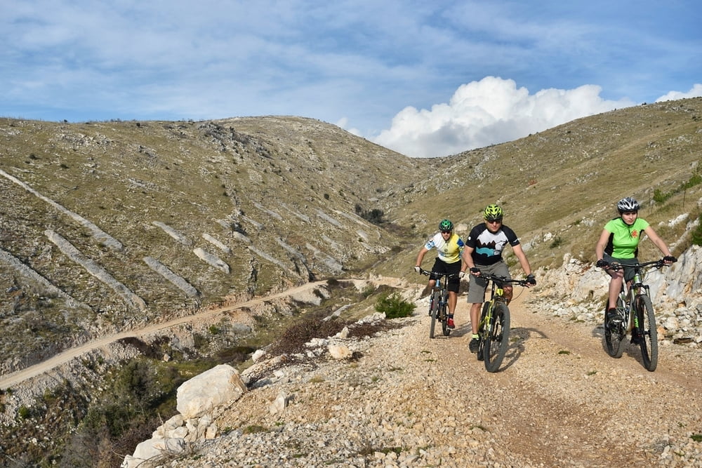
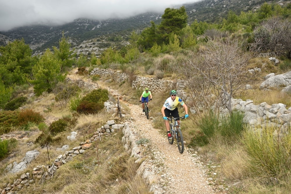
Staza koja kroz cjelodnevni izlet MTB vozačima uistinu puno nudi: prolaz kroz lokalna autohtona mjesta s pogledom na vinograde, maslenike, crkvice, vinarije te uspon na najviši vrh otoka Hvara - Sv. Nikolu. Tijekom vožnje vozača će nadahnuti pogled na okolni arhipela i otočki pejzaž. Staza je srednje tehničke zahtjevnosti i namijenjena je vozačima naprednije fizičke spremnosti.
Napomena: Staza je na otoku Hvaru i kao takva sadrži transfere na relaciji Brač-Hvar. Start i cilje je u mjestu Jelsa.
Završni uspon na vrh Sv. Nikola je pješački (5 min hoda).


A track which has a lot to offer to MTB riders through a one-day trip: passing through local indigenous settlements, vineyards, olive groves, churches, wineries and St Nicholas - the highest mountain peak on Hvar island. Due to a unique panoramic view over the surrounding archipelago, the cyclist experiences an original insight when it comes to island's landscape and atmosphere. The track is of moderate technical difficulty and it is intended for cyclists in advanced physical condition.
Note: The track is situated on Hvar island and as such it contains transfer on Brač-Hvar relation. The final climb to St Nikola mountain peak is made on foot (five-minute walk).


Galerija izletov

Zemljevid in višinski profil izleta

  • Open Street Map
  • Google
Minimum height -2 m Maximum height 593 m Prikaz podrobnosti

More about the tour author

AdriaBikeHotels
Member since 2014

Send private message

Komentarji

Poti GPS

Trackpoints
  • GPX / Garmin Map Source (gpx) download
  • TCX / Garmin Training Center® (tcx) download
  • CRS / Garmin Training Center® (crs) download
  • Google Earth (kml) download
  • G7ToWin (g7t) download
  • TTQV (trk) download
  • Overlay (ovl) download
  • Fugawi (txt) download
  • Kompass (DAV) Track (tk) download
  • List z izleti (pdf) download
  • Original file of the author (gpx) download

More about the tour author

AdriaBikeHotels
Member since 2014

Send private message
Share track
Add to my favorites
Remove from my favorites
Edit tags
My score
Rate
Izlet: MTB BOL 7
Vrsta: Gorsko kolo
Dolžina: 42,7 km
Evaluated on:
Trajanje:
Day(s)
Hour(s)
Minute(s)
Ocena: Pokrajina Dejavnik zabave Kondicija Tehnika