

www.oroseinbike.com/italiano/calendario-1/1-tappe-facili/
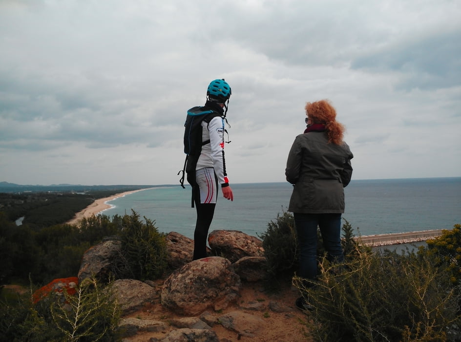
Partenza dalla Via "Santa Veronica" (c/o piazzale del municipio) e percorrenza in direzione nord, verso Siniscola (Nu), svoltiamo a destra lungo l'argine destro del fiume "Cedrino", raggiungiamo la spiaggia centrale della "Marina", proseguiamo verso sud e attraversiamo la pineta di "Su Barone" per dirigerci verso la località "Osala" dalla quale si fa rientro in paese percorrendo strade secondarie.
Departure from Via Santa Veronica (Orosei’s town hall) towards Siniscola, we turn right before the bridge on the embankment of the river Cedrino all the way untill we get to the beach “Marina di Orosei”, we keep going on a dirt roads towards “Su Barone” and its pine forest, getting to the beach of “Osala” and the Nuraghe Gulunie. From there we head back to Orosei on a secondary road.
Further information at
http://www.oroseinbike.com/italiano/calendario-1/1-tappe-facili/Zemljevid in višinski profil izleta
Minimum height 1 m
Maximum height 42 m
More about the tour author
|
|
Oroseinbike |
Komentarji

Poti GPS
Trackpoints-
GPX / Garmin Map Source (gpx) download
-
TCX / Garmin Training Center® (tcx) download
-
CRS / Garmin Training Center® (crs) download
-
Google Earth (kml) download
-
G7ToWin (g7t) download
-
TTQV (trk) download
-
Overlay (ovl) download
-
Fugawi (txt) download
-
Kompass (DAV) Track (tk) download
-
List z izleti (pdf) download
-
Original file of the author (tcx) download
More about the tour author
|
|
Oroseinbike |
Add to my favorites
Remove from my favorites
Edit tags
Open track
My score
Rate