


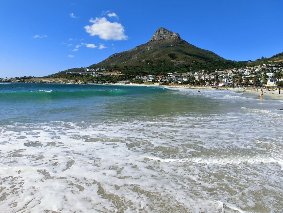
Mountainbike Tour von Hout Bay über Camps Bay in den Park zu den Füßen Table Mountain und zurück über Newlands und Klaassenbosch nach Hout Bay. Off-road sind eigentlich nur die ca. 8 km im Park, ansonsten fährt man Asphalt. Auf dem Hinweg von Hout Bay nach Camps Bay war das eine relativ gechillte Straße mit ausreichend Platz für die Biker mit Bike Lane. Die Straße zurück ist zwar landschaftlich auch schön, aber relativ schmal. Wenn man sow wie wir in den Freitagnachmittag Pendlerverkehr nach Hout Bay kommt, ist das nicht so angenehm.
Es ist aber auch möglich, im Park eine Schleife zu fahren (siehe die Park Map im Link unten) und über eine noch höher gelegene Piste zum Einstiegspunkt in den Park zurückzukehren.
Sehr gute Bikes haben wir geliehen bei The Complete Cyclist, 35 Victoria Avenue, Hout Bay. Nette Typen!
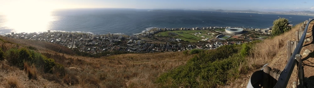
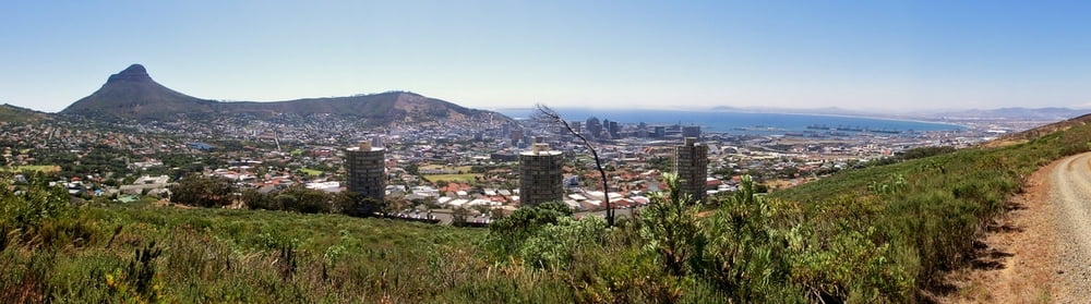
Es lohnt sich, einen kurzen Abstecher auf den Signal hill zu fahren wegen der tollen Aussichten auf Sea point und Kapstadt Hafen (nicht in der Tour enthalten).
Further information at
http://www.tablemountainbikers.co.za/routes-trails/Galerija izletov
Zemljevid in višinski profil izleta
Minimum height 6 m
Maximum height 309 m
More about the tour author
|
|
mackator |
Komentarji

Hout Bay
Poti GPS
Trackpoints-
GPX / Garmin Map Source (gpx) download
-
TCX / Garmin Training Center® (tcx) download
-
CRS / Garmin Training Center® (crs) download
-
Google Earth (kml) download
-
G7ToWin (g7t) download
-
TTQV (trk) download
-
Overlay (ovl) download
-
Fugawi (txt) download
-
Kompass (DAV) Track (tk) download
-
List z izleti (pdf) download
-
Original file of the author (gpx) download
More about the tour author
|
|
mackator |
Add to my favorites
Remove from my favorites
Edit tags
Open track
My score
Rate