Login

Si pozabil/a podatke za prijavo?

Cookies have to be accepted!
Your browser's cookie functionality is disabled. Please enable this functionality.

Not a member yet?

Register now
Login

Available for registred users only

Log in to use this feature.

Si pozabil/a podatke za prijavo?

Cookies have to be accepted!
Your browser's cookie functionality is disabled. Please enable this functionality.

Not a member yet?

Register now
Filter
Kategorije
Advanced filters
  • Dolžina (km)
  • Metri nadmorske višine
Shrani filter Reset filter

TrackRank

QRCode

Technical data

Dolžina6,4 km Metri nadmorske višine765 m Way down765 m Trajanje07:00 h:m Datum20.08.2016
Ocene Author Pokrajina Dejavnik zabave Kondicija Tehnika

Statistika

335 Pogledi Ocene 15 Prenosi Povprečje
Rate
  • List z izleti
  • Prihod
  • Prenosi
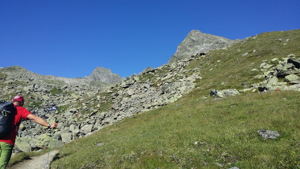
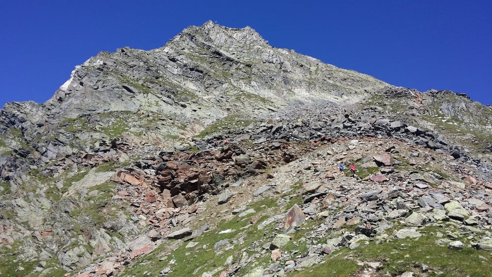
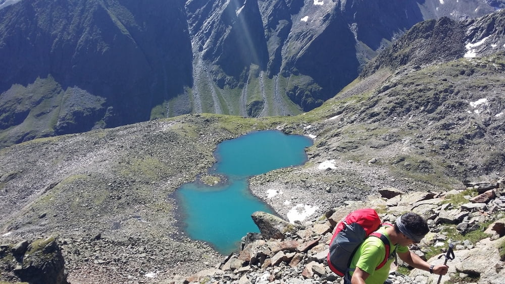
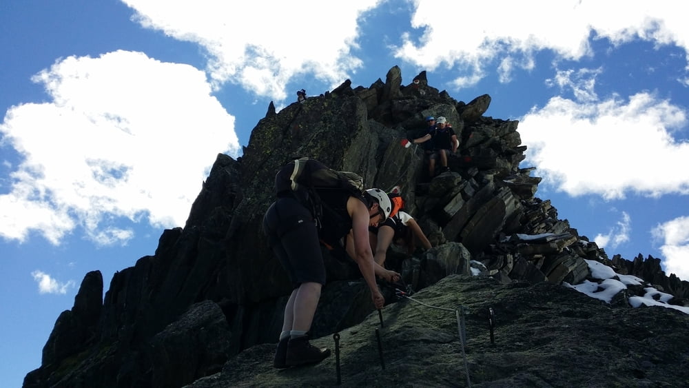
Achtung! Abstieg zu See liegt auf Weglosergelände.

Further information at

http://www.gpsies.com/map.do?fileId=ufmxrgzqvjlzyqol

Galerija izletov

Zemljevid in višinski profil izleta

  • Open Street Map
  • Google
Minimum height 2141 m Maximum height 2884 m Prikaz podrobnosti

More about the tour author

copyright
Member since 2013

Send private message

Komentarji

Poti GPS

Trackpoints
  • GPX / Garmin Map Source (gpx) download
  • TCX / Garmin Training Center® (tcx) download
  • CRS / Garmin Training Center® (crs) download
  • Google Earth (kml) download
  • G7ToWin (g7t) download
  • TTQV (trk) download
  • Overlay (ovl) download
  • Fugawi (txt) download
  • Kompass (DAV) Track (tk) download
  • List z izleti (pdf) download
  • Original file of the author (gpx) download

More about the tour author

copyright
Member since 2013

Send private message
Share track
Add to my favorites
Remove from my favorites
Edit tags
My score
Rate
Izlet: Franz-Senn-Hütte - Rinnenspitze (3000 m)
Vrsta: Plezalna pot
Dolžina: 6,4 km
Evaluated on:
Trajanje:
Day(s)
Hour(s)
Minute(s)
Ocena: Pokrajina Dejavnik zabave Kondicija Tehnika