Login

Si pozabil/a podatke za prijavo?

Cookies have to be accepted!
Your browser's cookie functionality is disabled. Please enable this functionality.

Not a member yet?

Register now
Login

Available for registred users only

Log in to use this feature.

Si pozabil/a podatke za prijavo?

Cookies have to be accepted!
Your browser's cookie functionality is disabled. Please enable this functionality.

Not a member yet?

Register now
Filter
Kategorije
Advanced filters
  • Dolžina (km)
  • Metri nadmorske višine
Shrani filter Reset filter

TrackRank

QRCode

Technical data

Dolžina15,7 km Metri nadmorske višine53 m Way down59 m Trajanje00:05 h:m Datum25.12.2016
Ocene Author Pokrajina Dejavnik zabave Kondicija Tehnika

Statistika

519 Pogledi Ocene 34 Prenosi Povprečje
Rate
  • List z izleti
  • Prihod
  • Prenosi
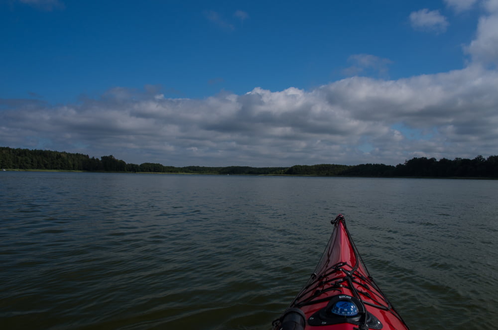
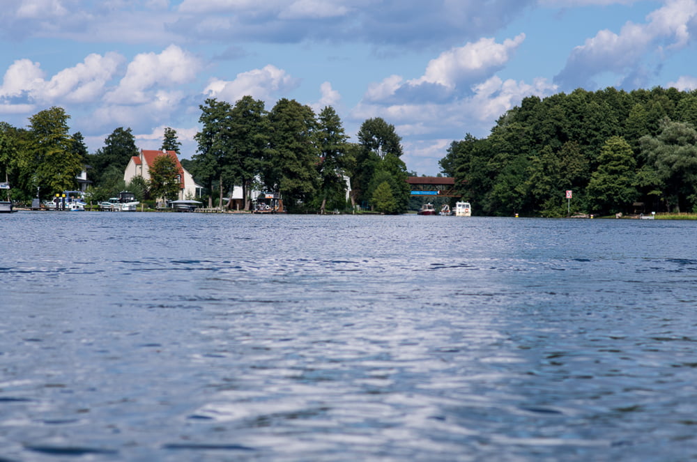
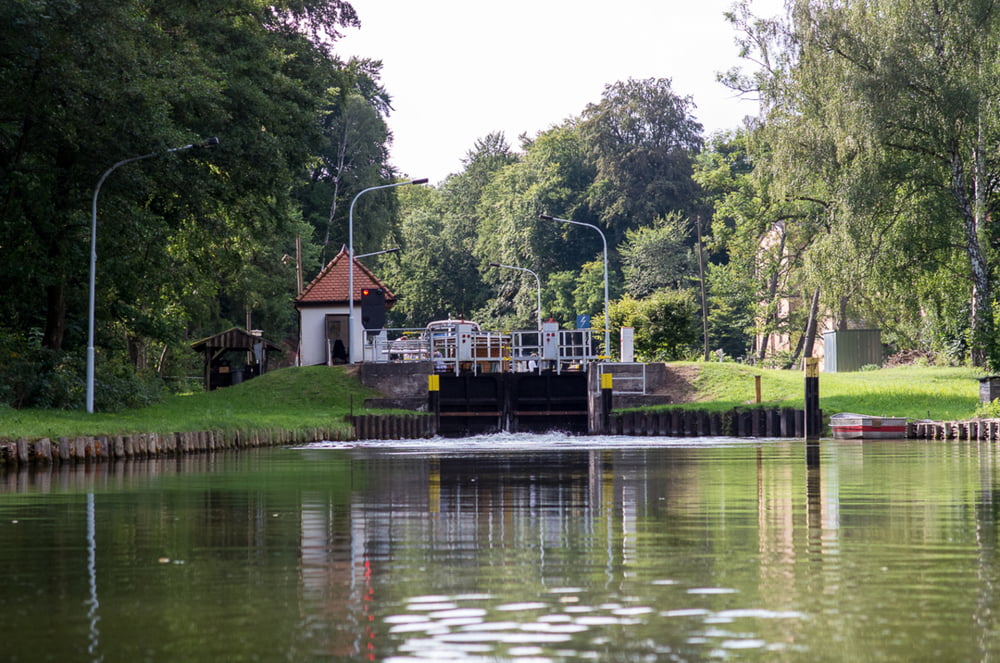
Tagestour mit Stadtrundfahrt durch Fürstenberg. Über eine Bootsrutsche geht es durch den Stadtpark und zurück durch die Schleuse.

Galerija izletov

Zemljevid in višinski profil izleta

  • Open Street Map
  • Google
Minimum height -32 m Maximum height 78 m Prikaz podrobnosti

More about the tour author

sugesei
Member since 2010

Send private message

Komentarji

Einsetzen in Klein Menow

Poti GPS

Trackpoints
  • GPX / Garmin Map Source (gpx) download
  • TCX / Garmin Training Center® (tcx) download
  • CRS / Garmin Training Center® (crs) download
  • Google Earth (kml) download
  • G7ToWin (g7t) download
  • TTQV (trk) download
  • Overlay (ovl) download
  • Fugawi (txt) download
  • Kompass (DAV) Track (tk) download
  • List z izleti (pdf) download
  • Original file of the author (gpx) download

More about the tour author

sugesei
Member since 2010

Send private message
Share track
Add to my favorites
Remove from my favorites
Edit tags
My score
Rate
Izlet: Vom Ellenbogensee nach Fürstenberg
Vrsta: Čoln in kanu
Dolžina: 15,7 km
Evaluated on:
Trajanje:
Day(s)
Hour(s)
Minute(s)
Ocena: Pokrajina Dejavnik zabave Kondicija Tehnika