Login

Si pozabil/a podatke za prijavo?

Cookies have to be accepted!
Your browser's cookie functionality is disabled. Please enable this functionality.

Not a member yet?

Register now
Login

Available for registred users only

Log in to use this feature.

Si pozabil/a podatke za prijavo?

Cookies have to be accepted!
Your browser's cookie functionality is disabled. Please enable this functionality.

Not a member yet?

Register now
Filter
Kategorije
Advanced filters
  • Dolžina (km)
  • Metri nadmorske višine
Shrani filter Reset filter

TrackRank

QRCode

Technical data

Dolžina14,6 km Metri nadmorske višine23 m Way down42 m Trajanje00:45 h:m Datum20.01.2017
Ocene Author Pokrajina Dejavnik zabave Kondicija Tehnika

Statistika

341 Pogledi Ocene 11 Prenosi Povprečje
Rate
  • List z izleti
  • Prihod
  • Prenosi

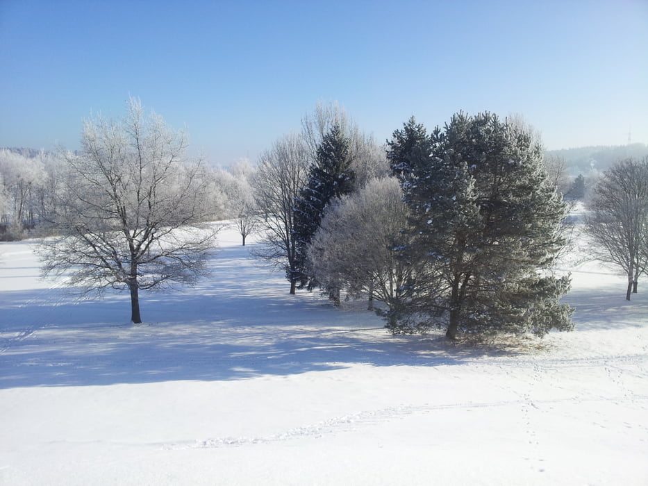
Einfache leider selten gespurt Klassikloipe in der nähe von München. Immer gut für eine kleine Feierabendrunde. Leider kein online Loipenbericht.

Einstieg direkt hinter dem Orstausgangsschild Gauting.

Laufrichtung nicht vorgeschrieben.

Viel Spaß!


Zemljevid in višinski profil izleta

  • Open Street Map
  • Google
Minimum height 419 m Maximum height 452 m Prikaz podrobnosti

More about the tour author

Kempi
Member since 2008

Send private message

Komentarji

Poti GPS

Trackpoints
  • GPX / Garmin Map Source (gpx) download
  • TCX / Garmin Training Center® (tcx) download
  • CRS / Garmin Training Center® (crs) download
  • Google Earth (kml) download
  • G7ToWin (g7t) download
  • TTQV (trk) download
  • Overlay (ovl) download
  • Fugawi (txt) download
  • Kompass (DAV) Track (tk) download
  • List z izleti (pdf) download
  • Original file of the author (gpx) download

More about the tour author

Kempi
Member since 2008

Send private message
Share track
Add to my favorites
Remove from my favorites
Edit tags
My score
Rate
Izlet: Buchendorfer Waldrand
Vrsta: Tek na smučeh
Dolžina: 14,6 km
Evaluated on:
Trajanje:
Day(s)
Hour(s)
Minute(s)
Ocena: Pokrajina Dejavnik zabave Kondicija Tehnika