Login

Si pozabil/a podatke za prijavo?

Cookies have to be accepted!
Your browser's cookie functionality is disabled. Please enable this functionality.

Not a member yet?

Register now
Login

Available for registred users only

Log in to use this feature.

Si pozabil/a podatke za prijavo?

Cookies have to be accepted!
Your browser's cookie functionality is disabled. Please enable this functionality.

Not a member yet?

Register now
Filter
Kategorije
Advanced filters
  • Dolžina (km)
  • Metri nadmorske višine
Shrani filter Reset filter

TrackRank

QRCode

Technical data

Dolžina6,1 km Metri nadmorske višine79 m Way down78 m Trajanje01:45 h:m Datum27.01.2017
Ocene Author Pokrajina Dejavnik zabave Kondicija Tehnika

Statistika

285 Pogledi Ocene 2 Prenosi Povprečje
Rate
  • List z izleti
  • Prihod
  • Prenosi

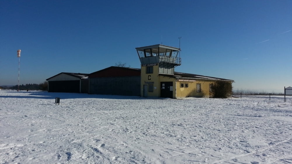
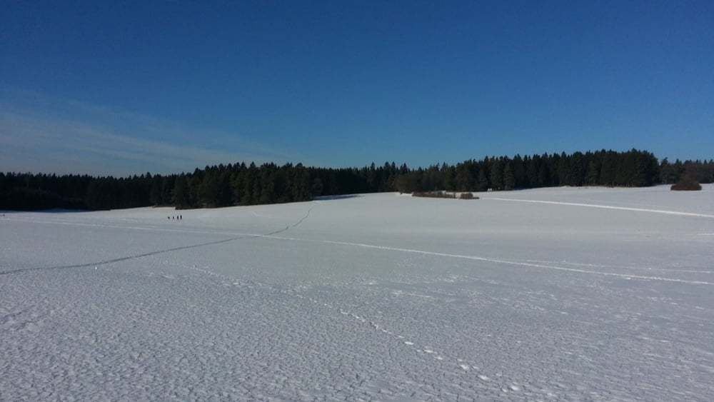
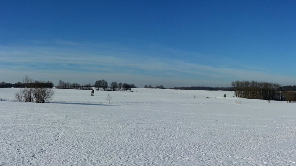
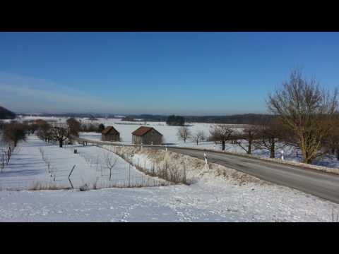
Auf der Höhe liegt noch 30-40cm herrlicher Firn, eine leichte, gemütliche Tour fast eben dahin auf einem Sonnenplateau.

HINWEIS zum Video:

Mit Mozilla Firefox u.a. mit Flash- Player Plugin startet das Video direkt bei der Bildershow.


Andernfalls verwendet ihr in eurem Browser den Link: https://youtu.be/0WZ0NzqSgvk


Galerija izletov

Zemljevid in višinski profil izleta

  • Open Street Map
  • Google
Minimum height 491 m Maximum height 547 m Prikaz podrobnosti

More about the tour author

heinz-57
Member since 2009

Send private message

Komentarji

Auf der B2 von Nürnberg kommend vor Igensdorf rechts ab:durch Unter-, Mittel-, Kirch- und Oberrüsselbach fahren wir zu Wanderparkplatz am Ortsende.

Poti GPS

Trackpoints
  • GPX / Garmin Map Source (gpx) download
  • TCX / Garmin Training Center® (tcx) download
  • CRS / Garmin Training Center® (crs) download
  • Google Earth (kml) download
  • G7ToWin (g7t) download
  • TTQV (trk) download
  • Overlay (ovl) download
  • Fugawi (txt) download
  • Kompass (DAV) Track (tk) download
  • List z izleti (pdf) download
  • Original file of the author (gpx) download

More about the tour author

heinz-57
Member since 2009

Send private message
Share track
Add to my favorites
Remove from my favorites
Edit tags
My score
Rate
Izlet: Wandern Franken: Schneeschuh in Oberrüsselbach
Vrsta: Krplje
Dolžina: 6,1 km
Evaluated on:
Trajanje:
Day(s)
Hour(s)
Minute(s)
Ocena: Pokrajina Dejavnik zabave Kondicija Tehnika