


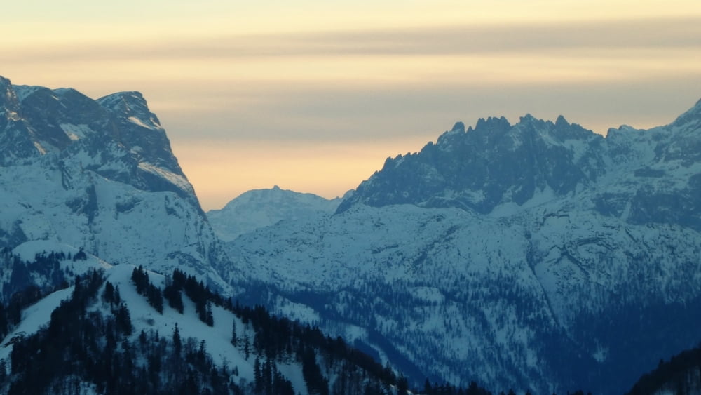
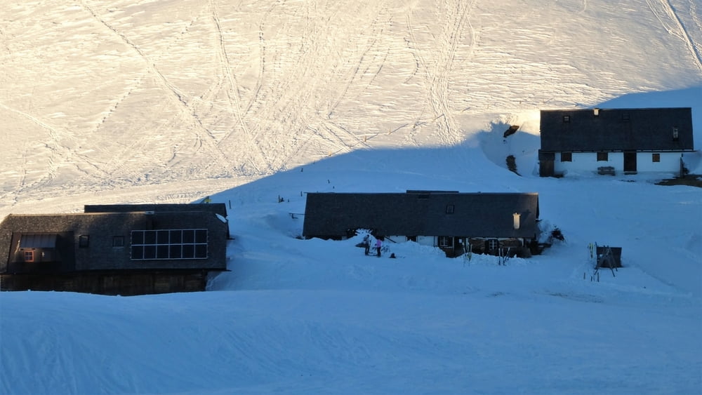
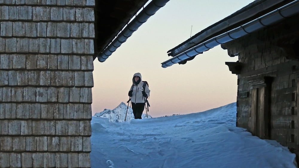
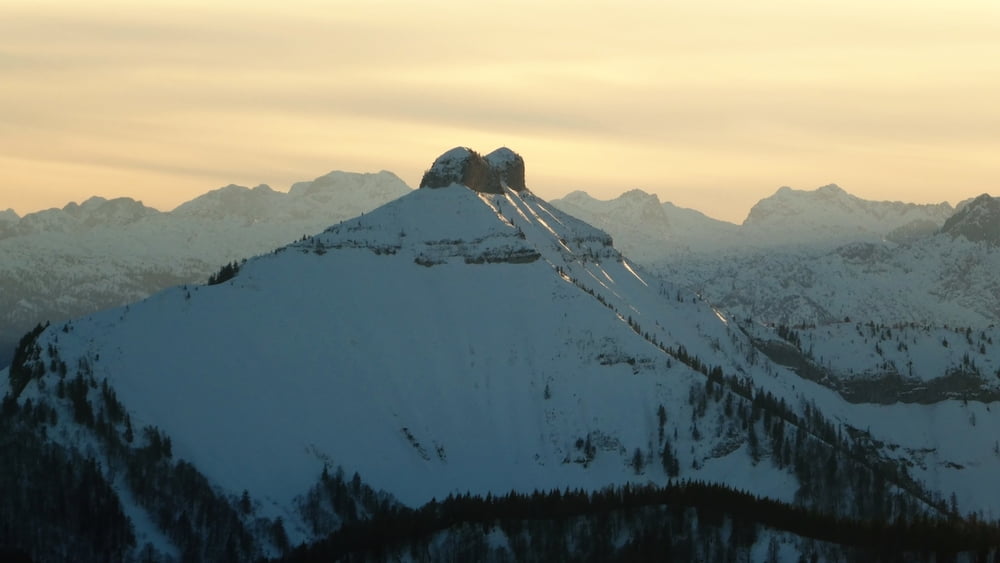
Bei dieser Tour handelt es sich um eine Kombintion von Schneeschuh wandern und Schlitten fahren. Das Ziel ist die Loibersbacher Höhe auf 1440m Seehöhe. Ein technisch einfach erreichbarer Berg mit einer fantastischen Rundumsicht auf die Berge des Salzkammergutes . Ebenso auf Dachstein , Tennengebirge , Hochkönig , Berchtesgadener Alpen ....
Genauere Infos zur Tour erhalten Sie im angegebenen Link
Further information at
http://www.satcom.at/loibersbacherhoeheGalerija izletov
Zemljevid in višinski profil izleta
Minimum height 884 m
Maximum height 1440 m
More about the tour author
|
|
GarminSalzburg |
Komentarji

Parkmöglichkeit beim Döllerer Wald Parkplatz.
Poti GPS
Trackpoints-
GPX / Garmin Map Source (gpx) download
-
TCX / Garmin Training Center® (tcx) download
-
CRS / Garmin Training Center® (crs) download
-
Google Earth (kml) download
-
G7ToWin (g7t) download
-
TTQV (trk) download
-
Overlay (ovl) download
-
Fugawi (txt) download
-
Kompass (DAV) Track (tk) download
-
List z izleti (pdf) download
-
Original file of the author (gpx) download
More about the tour author
|
|
GarminSalzburg |
Add to my favorites
Remove from my favorites
Edit tags
Open track
My score
Rate