Login

Si pozabil/a podatke za prijavo?

Cookies have to be accepted!
Your browser's cookie functionality is disabled. Please enable this functionality.

Not a member yet?

Register now
Login

Available for registred users only

Log in to use this feature.

Si pozabil/a podatke za prijavo?

Cookies have to be accepted!
Your browser's cookie functionality is disabled. Please enable this functionality.

Not a member yet?

Register now
Filter
Kategorije
Advanced filters
  • Dolžina (km)
  • Metri nadmorske višine
Shrani filter Reset filter

TrackRank

QRCode

Technical data

Dolžina62,0 km Metri nadmorske višine1078 m Way down1146 m Trajanje04:00 h:m Datum20.06.2005
Ocene Author Pokrajina Dejavnik zabave Kondicija Tehnika

Statistika

5339 Pogledi 3 Ocene 1158 Prenosi 4.67 Povprečje
Rate
  • List z izleti
  • Prihod
  • Prenosi
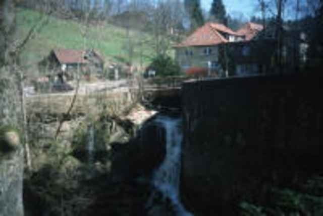
Auf Waldwegen und Singletrails (Georg Fahrbach Weg) von Hanweiler (Winnenden) zum Ebnisse. Super schöne Trail schöne Aussichten und Bade bzw. Einkehrmöglichkeit am See.

Further information at

http://www.mtbike.org/start.htm?Bike/Touren/Deutschland/Raum_Stuttgart/Hanweiler_Ebnisee.htm

Galerija izletov

Zemljevid in višinski profil izleta

  • Open Street Map
  • Google
Minimum height 277 m Maximum height 538 m Prikaz podrobnosti

More about the tour author

olaf.krause
Member since 2005

Send private message

Komentarji

Günther on 19.08.2005

Tour

Super Tour !
Hemmingen on 26.09.2005

Landschaftlich schöne Tour. Schade, dass es nur in der Gegend vom Ebnissee Trails gibt, danach nur noch Schotterwege und Asphalt. Nach Aspergle gibt es Verhauer. Aufpassen und Zoom hochstellen, dann findet man den richtigen Weg.
E
Uwe on 11.07.2006

Tour vom 01/Juli/06

Ein Traum! Super
Die Tour geht Hanweiler - Königbronnhof - Althütte zum Ebnisee. Dann Am Wieslauftalweg zurück Richtung Schorndorf und über Schotterwege im Wald nach Hanweiler.

Poti GPS

Trackpoints
  • GPX / Garmin Map Source (gpx) download
  • TCX / Garmin Training Center® (tcx) download
  • CRS / Garmin Training Center® (crs) download
  • Google Earth (kml) download
  • G7ToWin (g7t) download
  • TTQV (trk) download
  • Overlay (ovl) download
  • Fugawi (txt) download
  • Kompass (DAV) Track (tk) download
  • List z izleti (pdf) download
  • Original file of the author (g7t) download

More about the tour author

olaf.krause
Member since 2005

Send private message
Share track
Add to my favorites
Remove from my favorites
Edit tags
My score
Rate
Izlet: Ebnisee-Trail
Vrsta: Gorsko kolo
Dolžina: 62,0 km
Evaluated on:
Trajanje:
Day(s)
Hour(s)
Minute(s)
Ocena: Pokrajina Dejavnik zabave Kondicija Tehnika