


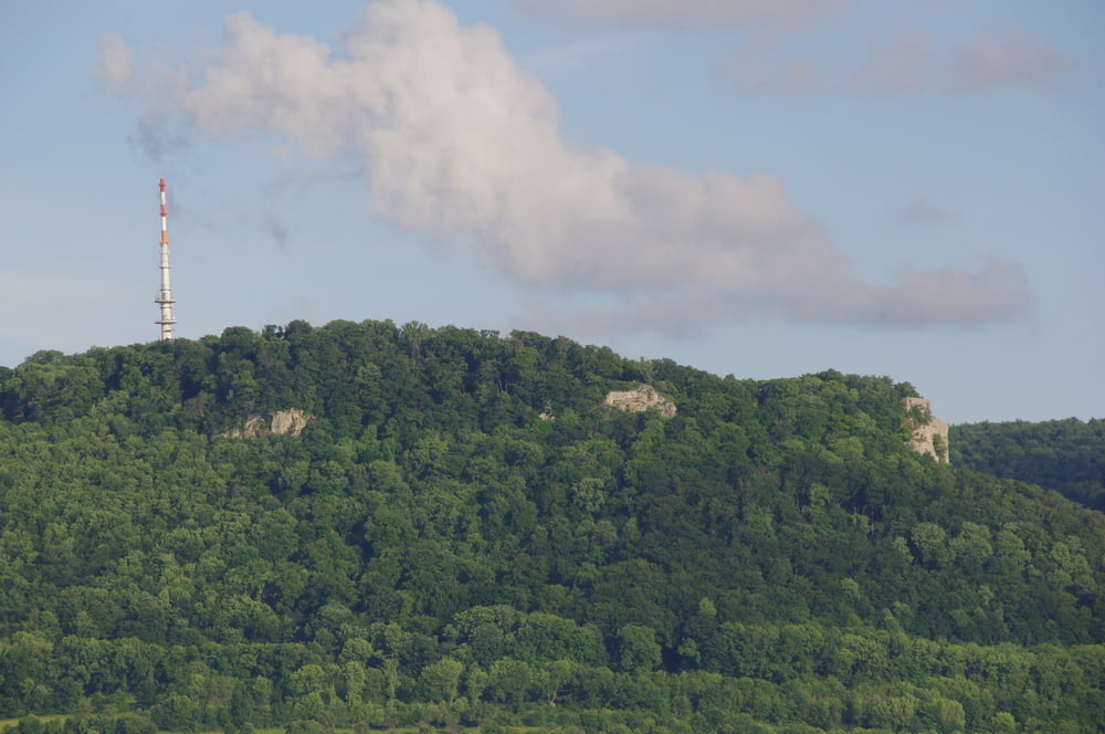
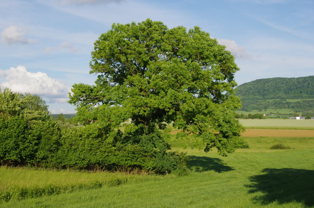
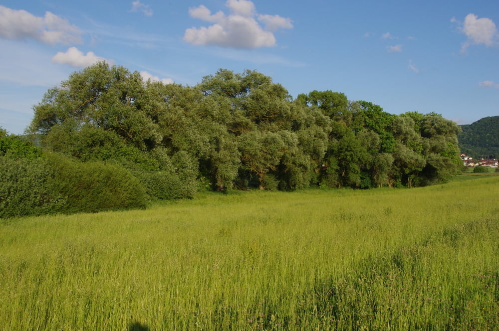
Ich wanderte von der Michaelskirche auf die Ungerhalde und von dort am Bubenrain vorbei in das Schlierbachtal. In diesem Wiesentälchen wanderte ich am alten Hundesportplatz vorbei nach Heubach zum Flugplatz und dann durch das Gewerbegebiet in das Klotzbachtal.
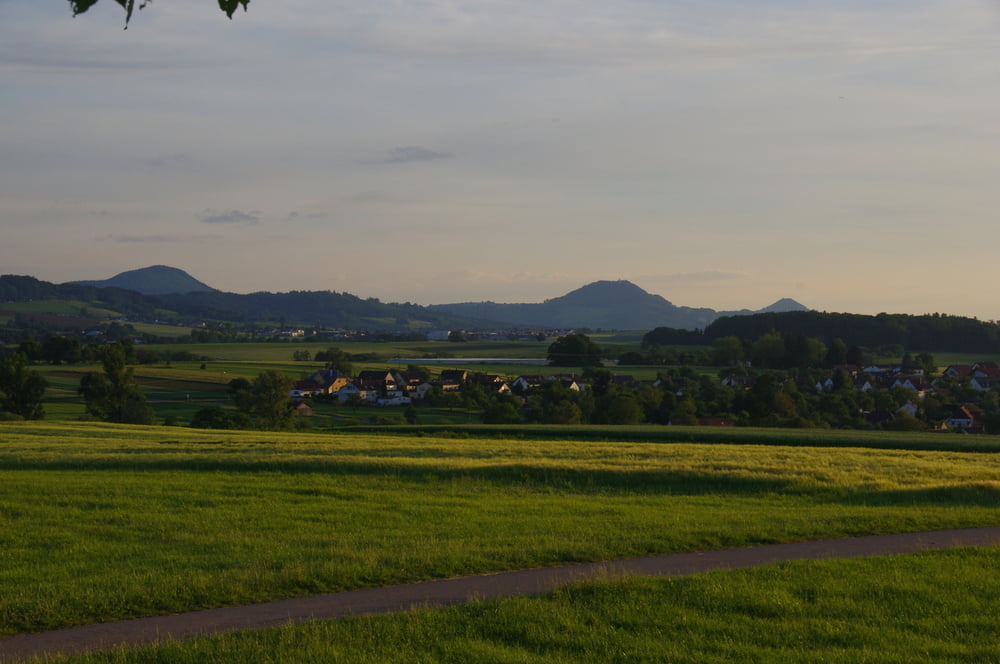
Zum Abend war ich dann am Wasserspeicher die Aussicht zu geniessen. Anschließend machte ich mich auf den Weg zurück zum Ausgangspunkt.
Further information at
http://www.airport-heubach.com/airport-webcam/Galerija izletov
Zemljevid in višinski profil izleta
Minimum height 401 m
Maximum height 445 m
More about the tour author
|
|
Pheinz |
Komentarji

Start und Ziel an der Michaelskirche in Oberböbingen.
Poti GPS
Trackpoints-
GPX / Garmin Map Source (gpx) download
-
TCX / Garmin Training Center® (tcx) download
-
CRS / Garmin Training Center® (crs) download
-
Google Earth (kml) download
-
G7ToWin (g7t) download
-
TTQV (trk) download
-
Overlay (ovl) download
-
Fugawi (txt) download
-
Kompass (DAV) Track (tk) download
-
List z izleti (pdf) download
-
Original file of the author (gpx) download
More about the tour author
|
|
Pheinz |
Add to my favorites
Remove from my favorites
Edit tags
Open track
My score
Rate