


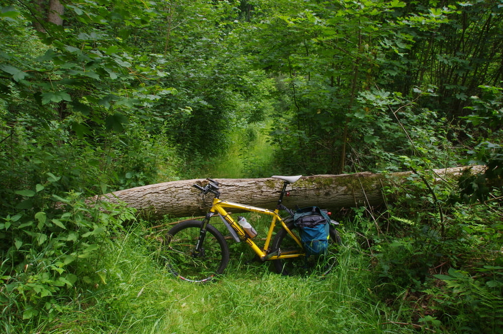
Ich radelte durch das Bliestal in Richtung Wattweiler. Nicht allzu weit vom Ortsanfang bog ich auf einen Forstweg ab und fuhr auf diesem in Richtung Waldfriedhof von Zweibrücken.
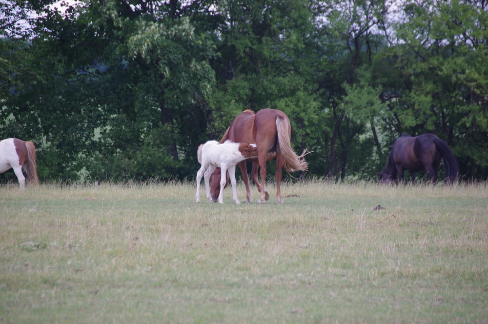
Ich ließ den Friedhof rechts liegen und umrundete den kleinen Weiler Wattweile auf der Höhe. Dabei passierte ich den Pferdehof mit seinen Islandpferden.
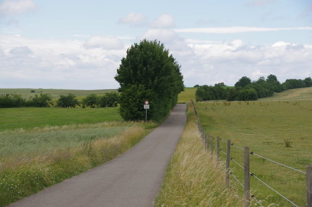
Auf einem schmalen Wanderweg fuhr ich , teilweise etwas knifflig in das Tal ab, und erreichte wieder das Bliestal.
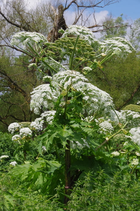
Auf der orogrphisch linken Seite der Blies fuhr ich an einer Ansammlung von Riesenbärenklau vorbei über Webenheim nach Blieskastel. Nach einem kleinen Schwenk durch das nettte Städtchen rollte ich im Bliestal zu meinem Ausgangspunkt zurück.
Ich ließ den Friedhof rechts liegen und umrundete den kleinen Weiler Wattweile auf der Höhe. Dabei passierte ich den Pferdehof mit seinen Islandpferden.
Auf einem schmalen Wanderweg fuhr ich , teilweise etwas knifflig in das Tal ab, und erreichte wieder das Bliestal.
Auf der orogrphisch linken Seite der Blies fuhr ich an einer Ansammlung von Riesenbärenklau vorbei über Webenheim nach Blieskastel. Nach einem kleinen Schwenk durch das nettte Städtchen rollte ich im Bliestal zu meinem Ausgangspunkt zurück.
Further information at
https://de.wikipedia.org/wiki/Biosph%C3%A4renreservat_BliesgauGalerija izletov
Zemljevid in višinski profil izleta
Minimum height 226 m
Maximum height 353 m
More about the tour author
|
|
Pheinz |
Komentarji

Start und Ziel in Homburg Schwarzenbach.
Poti GPS
Trackpoints-
GPX / Garmin Map Source (gpx) download
-
TCX / Garmin Training Center® (tcx) download
-
CRS / Garmin Training Center® (crs) download
-
Google Earth (kml) download
-
G7ToWin (g7t) download
-
TTQV (trk) download
-
Overlay (ovl) download
-
Fugawi (txt) download
-
Kompass (DAV) Track (tk) download
-
List z izleti (pdf) download
-
Original file of the author (gpx) download
More about the tour author
|
|
Pheinz |
Add to my favorites
Remove from my favorites
Edit tags
Open track
My score
Rate