Login

Si pozabil/a podatke za prijavo?

Cookies have to be accepted!
Your browser's cookie functionality is disabled. Please enable this functionality.

Not a member yet?

Register now
Login

Available for registred users only

Log in to use this feature.

Si pozabil/a podatke za prijavo?

Cookies have to be accepted!
Your browser's cookie functionality is disabled. Please enable this functionality.

Not a member yet?

Register now
Filter
Kategorije
Advanced filters
  • Dolžina (km)
  • Metri nadmorske višine
Shrani filter Reset filter

TrackRank

QRCode

Technical data

Dolžina11,3 km Metri nadmorske višine514 m Way down415 m Trajanje05:25 h:m Datum17.08.2017
Ocene Author Pokrajina Dejavnik zabave Kondicija Tehnika

Statistika

152 Pogledi Ocene 7 Prenosi Povprečje
Rate
  • List z izleti
  • Prihod
  • Prenosi
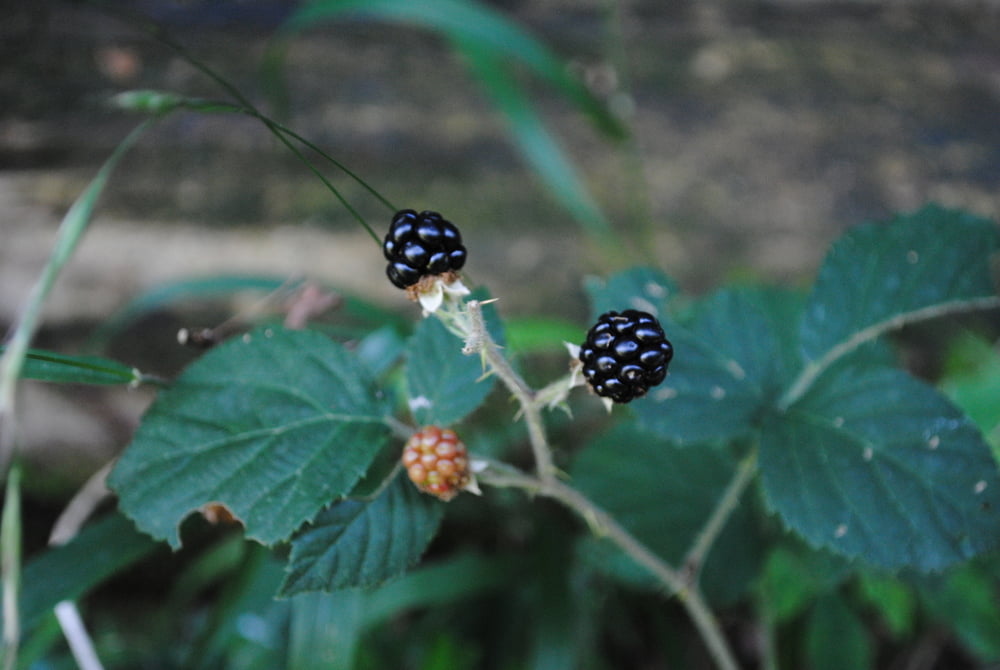
Lange schwierige Wanderung weil es auf den Rossgipfel keine markierten Wege gibt.Musste Routen die ich gekannt habe aufgeben (Bäume die vor Jahren noch ziemlich klein waren sind heute ein Dickicht wo man kaum noch durch kann).Daher die langen bekannten Varianten unter Beiziehung der Forststrassen benutzt.Verpflegung aus den Rucksack aber am Rückweg Steakwochen in Innermanzing."Schmatz"

Galerija izletov

Zemljevid in višinski profil izleta

  • Open Street Map
  • Google
Minimum height 352 m Maximum height 647 m Prikaz podrobnosti

More about the tour author

LeoCheops
Member since 2008

Send private message

Komentarji

Poti GPS

Trackpoints
  • GPX / Garmin Map Source (gpx) download
  • TCX / Garmin Training Center® (tcx) download
  • CRS / Garmin Training Center® (crs) download
  • Google Earth (kml) download
  • G7ToWin (g7t) download
  • TTQV (trk) download
  • Overlay (ovl) download
  • Fugawi (txt) download
  • Kompass (DAV) Track (tk) download
  • List z izleti (pdf) download
  • Original file of the author (gpx) download

More about the tour author

LeoCheops
Member since 2008

Send private message
Share track
Add to my favorites
Remove from my favorites
Edit tags
My score
Rate
Izlet: Rossgipfel 2017 (15.08.2017)
Vrsta: Izlet v gore
Dolžina: 11,3 km
Evaluated on:
Trajanje:
Day(s)
Hour(s)
Minute(s)
Ocena: Pokrajina Dejavnik zabave Kondicija Tehnika