


Mit der neu gebauten Forststraße auf den Unternberg eröffnet sich die Möglichkeit, in Ruhpolding, das - zumindest von mir - nicht umbedingt als Bike-Touren-Mekka einzuordnen ist, eine veritable Runde zusammenzustellen.
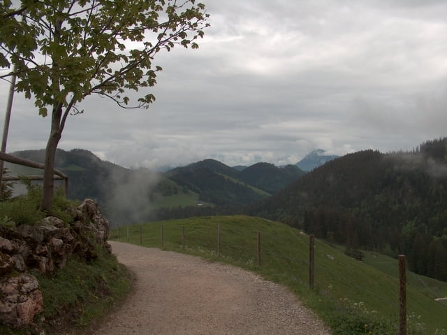
Nach Auffahrt bis zur Sessellift-Bergstation (von hier bietet sich ein ansprechendes Panorama) fährt man ein kurzes Stück bis zum Wegweiser zurück. Hier geradeaus und dann auf den kaum erkennbaren Pfad Nr. 4 in den Hang hinein (ca. 15 Min. Schiebepassage).
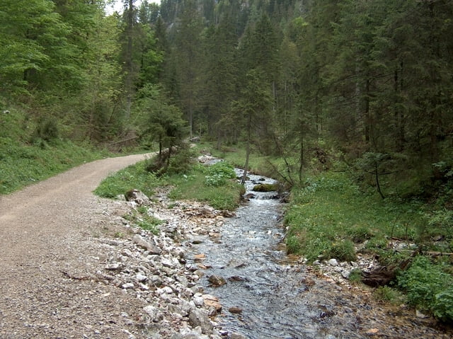
Man mündet in eine Forststraße, die einen direkt nach Seehaus bringt.
Auf dem geschotterten Radweg bis zum Weitsee, wo man über die Wiese zur Alpenstraße quert. Nach wenigen 100 Metern auf Asphalt rechts das Wappachtal Ri. Röthelmoos hoch.
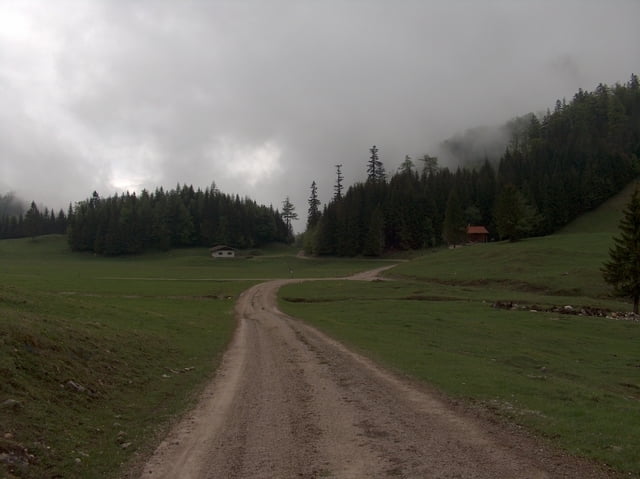
Im weiteren Verlauf fährt man über Eschlmoos Ri. Kohlstatt. Über eine Brücke geht es auf teils steiler Forststraße zur Bründling-Alm.
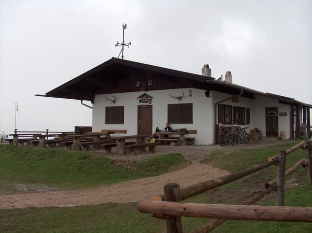
Nach Einkehr zurück bis zum Abzweig zur Steinberg-Alm und weiter über Asphalt nach Bacherwinkl und zurück zum Startpunkt.
Nach Auffahrt bis zur Sessellift-Bergstation (von hier bietet sich ein ansprechendes Panorama) fährt man ein kurzes Stück bis zum Wegweiser zurück. Hier geradeaus und dann auf den kaum erkennbaren Pfad Nr. 4 in den Hang hinein (ca. 15 Min. Schiebepassage).
Man mündet in eine Forststraße, die einen direkt nach Seehaus bringt.
Auf dem geschotterten Radweg bis zum Weitsee, wo man über die Wiese zur Alpenstraße quert. Nach wenigen 100 Metern auf Asphalt rechts das Wappachtal Ri. Röthelmoos hoch.
Im weiteren Verlauf fährt man über Eschlmoos Ri. Kohlstatt. Über eine Brücke geht es auf teils steiler Forststraße zur Bründling-Alm.
Nach Einkehr zurück bis zum Abzweig zur Steinberg-Alm und weiter über Asphalt nach Bacherwinkl und zurück zum Startpunkt.
Further information at
http://www.teutatesonline.netGalerija izletov
Zemljevid in višinski profil izleta
Minimum height 665 m
Maximum height 1412 m
More about the tour author

|
Komentarji

Von der Autobahn A8 Abfahrt Ruhpolding.
In Ruhpolding an der Tankstelle rechts und nach den Hotels wieder rechts hinauf zum Startpunkt nach Obergschwendt.
Alternative Startpunkte: Ruhpolding Ortszentrum, Hauptschule Branderstraße oder auch Maiergschwendt.
In Ruhpolding an der Tankstelle rechts und nach den Hotels wieder rechts hinauf zum Startpunkt nach Obergschwendt.
Alternative Startpunkte: Ruhpolding Ortszentrum, Hauptschule Branderstraße oder auch Maiergschwendt.
Poti GPS
Trackpoints-
GPX / Garmin Map Source (gpx) download
-
TCX / Garmin Training Center® (tcx) download
-
CRS / Garmin Training Center® (crs) download
-
Google Earth (kml) download
-
G7ToWin (g7t) download
-
TTQV (trk) download
-
Overlay (ovl) download
-
Fugawi (txt) download
-
Kompass (DAV) Track (tk) download
-
List z izleti (pdf) download
-
Original file of the author (gpx) download
More about the tour author
|
|
Add to my favorites
Remove from my favorites
Edit tags
Open track
My score
Rate