Login

Si pozabil/a podatke za prijavo?

Cookies have to be accepted!
Your browser's cookie functionality is disabled. Please enable this functionality.

Not a member yet?

Register now
Login

Available for registred users only

Log in to use this feature.

Si pozabil/a podatke za prijavo?

Cookies have to be accepted!
Your browser's cookie functionality is disabled. Please enable this functionality.

Not a member yet?

Register now
Filter
Kategorije
Advanced filters
  • Dolžina (km)
  • Metri nadmorske višine
Shrani filter Reset filter

TrackRank

QRCode

Technical data

Dolžina43,0 km Metri nadmorske višine850 m Way down837 m Trajanje06:30 h:m Datum30.10.2017
Ocene Author Pokrajina Dejavnik zabave Kondicija Tehnika

Statistika

208 Pogledi Ocene 28 Prenosi Povprečje
Rate
  • List z izleti
  • Prihod
  • Prenosi
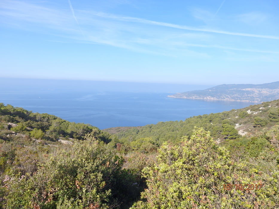
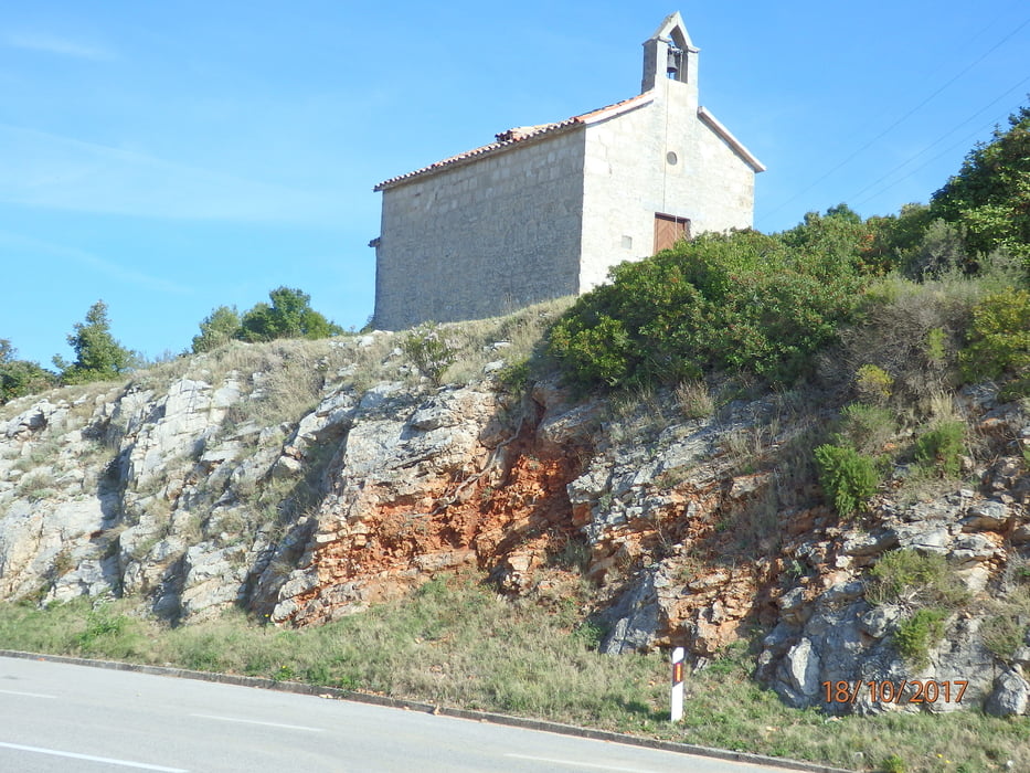
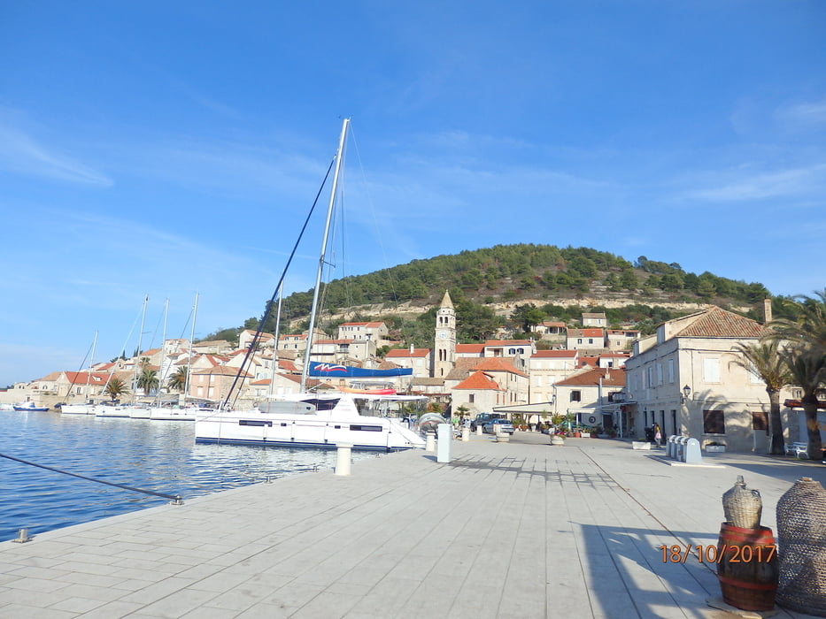
Tag 5 der Inselhüpferei: Von Hvar kommend starten wir von Vis zu einer Rundtour über Die Insel, die in der Titozeit verbotenes Militärgelände war. Entsprechend wenige Siedlungen gibt es hier. Zuerst steig bergauf, bei der Passhöhe Kriz (Kreuz) fährt eine Gruppe den kürzeren Weg nach Komiza, wir machen einen "Schlenkerer" nach links hinunter nach Milna (+250 hm) und kommen dann ebenfalls über Dracevo Polje, einem landwirtschaftlich genutzten Gebiet (polje=Feld) nach Komiza, einer Hafenstadt im Westen der Insel, wo Mittagsrast angesagt ist. Dann geht es endlos lang über Serpentinen zu einem Pass hoch, wo ein Kirchlein steht und anschließend in langer Schussfahrt hinunter zurück nach Vis.

Galerija izletov

Zemljevid in višinski profil izleta

  • Open Street Map
  • Google
Minimum height -6 m Maximum height 308 m Prikaz podrobnosti

More about the tour author

walderich
Member since 2012

Send private message

Komentarji

Poti GPS

Trackpoints
  • GPX / Garmin Map Source (gpx) download
  • TCX / Garmin Training Center® (tcx) download
  • CRS / Garmin Training Center® (crs) download
  • Google Earth (kml) download
  • G7ToWin (g7t) download
  • TTQV (trk) download
  • Overlay (ovl) download
  • Fugawi (txt) download
  • Kompass (DAV) Track (tk) download
  • List z izleti (pdf) download
  • Original file of the author (gpx) download

More about the tour author

walderich
Member since 2012

Send private message
Share track
Add to my favorites
Remove from my favorites
Edit tags
My score
Rate
Izlet: Inselhüpfen Mittel- und Süddalmatien-4 Vis
Vrsta: Izleti s kolesom
Dolžina: 43,0 km
Evaluated on:
Trajanje:
Day(s)
Hour(s)
Minute(s)
Ocena: Pokrajina Dejavnik zabave Kondicija Tehnika