Login

Si pozabil/a podatke za prijavo?

Cookies have to be accepted!
Your browser's cookie functionality is disabled. Please enable this functionality.

Not a member yet?

Register now
Login

Available for registred users only

Log in to use this feature.

Si pozabil/a podatke za prijavo?

Cookies have to be accepted!
Your browser's cookie functionality is disabled. Please enable this functionality.

Not a member yet?

Register now
Filter
Kategorije
Advanced filters
  • Dolžina (km)
  • Metri nadmorske višine
Shrani filter Reset filter

TrackRank

QRCode

Technical data

Dolžina11,9 km Metri nadmorske višine114 m Way down283 m Trajanje00:00 h:m Datum27.01.2018
Ocene Author Pokrajina Dejavnik zabave Kondicija Tehnika

Statistika

257 Pogledi Ocene 13 Prenosi Povprečje
Rate
  • List z izleti
  • Prihod
  • Prenosi
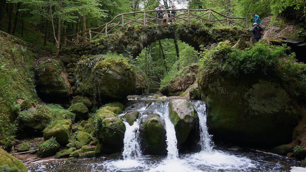
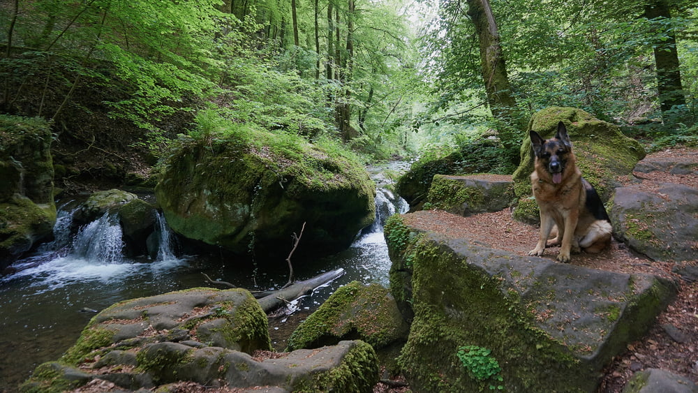
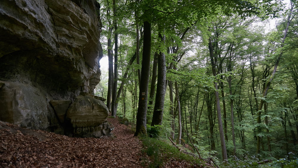
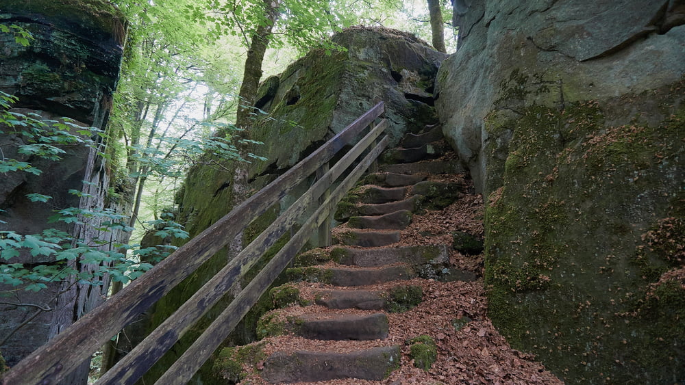
Dieser Weg führt durch die Felsenlandschaft und durch einigen spannende Höhlen. Abenteuerlich ab nichts für Schwergewichter oder Leute mit Platzangst. Beschreibung s. Website.

Further information at

http://www.sudowe.eu/index.php/renate-s-blog/berichte-2016/207-wanderung-von-altrier-nach-muellerthal

Galerija izletov

Zemljevid in višinski profil izleta

  • Open Street Map
  • Google
Minimum height 231 m Maximum height 409 m Prikaz podrobnosti

More about the tour author

Renatelev
Member since 2012

Send private message

Komentarji

Start: N 49.75079 / E 6.32837
End:  N 49.78945 / E 6.30499


Poti GPS

Trackpoints
  • GPX / Garmin Map Source (gpx) download
  • TCX / Garmin Training Center® (tcx) download
  • CRS / Garmin Training Center® (crs) download
  • Google Earth (kml) download
  • G7ToWin (g7t) download
  • TTQV (trk) download
  • Overlay (ovl) download
  • Fugawi (txt) download
  • Kompass (DAV) Track (tk) download
  • List z izleti (pdf) download
  • Original file of the author (gpx) download

More about the tour author

Renatelev
Member since 2012

Send private message
Share track
Add to my favorites
Remove from my favorites
Edit tags
My score
Rate
Izlet: Von Alttrier nach Müllerthal
Vrsta: Pešačenje
Dolžina: 11,9 km
Evaluated on:
Trajanje:
Day(s)
Hour(s)
Minute(s)
Ocena: Pokrajina Dejavnik zabave Kondicija Tehnika