Login

Si pozabil/a podatke za prijavo?

Cookies have to be accepted!
Your browser's cookie functionality is disabled. Please enable this functionality.

Not a member yet?

Register now
Login

Available for registred users only

Log in to use this feature.

Si pozabil/a podatke za prijavo?

Cookies have to be accepted!
Your browser's cookie functionality is disabled. Please enable this functionality.

Not a member yet?

Register now
Filter
Kategorije
Advanced filters
  • Dolžina (km)
  • Metri nadmorske višine
Shrani filter Reset filter

TrackRank

QRCode

Technical data

Dolžina17,5 km Metri nadmorske višine663 m Way down651 m Trajanje06:00 h:m Datum20.05.2018
Ocene Author Pokrajina Dejavnik zabave Kondicija Tehnika

Statistika

325 Pogledi Ocene 17 Prenosi Povprečje
Rate
  • List z izleti
  • Prihod
  • Prenosi
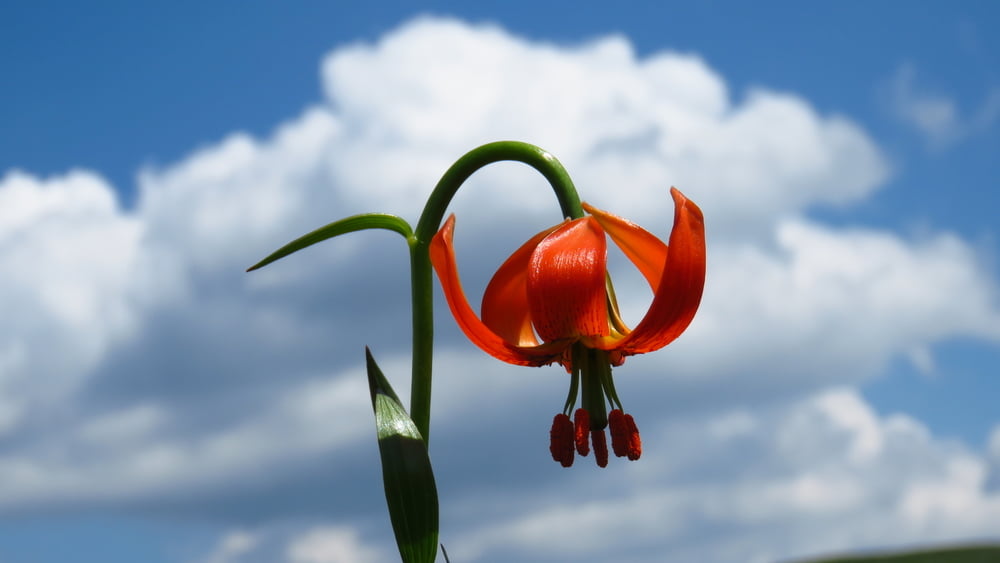
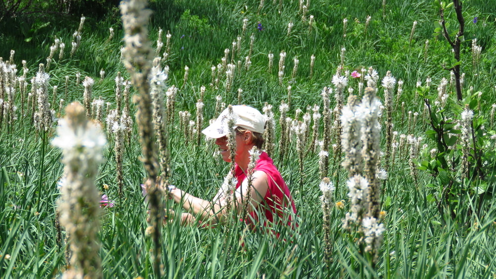
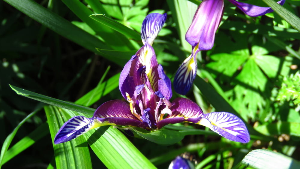
Ogromno rož... Jesenčki, nekaj vrst perunik, potonike, zlati koreni pa še mnogo manjših. Samotno.

Galerija izletov

Zemljevid in višinski profil izleta

  • Open Street Map
  • Google
Minimum height 486 m Maximum height 898 m Prikaz podrobnosti

More about the tour author

sandibor
Member since 2017

Send private message

Komentarji

Poti GPS

Trackpoints
  • GPX / Garmin Map Source (gpx) download
  • TCX / Garmin Training Center® (tcx) download
  • CRS / Garmin Training Center® (crs) download
  • Google Earth (kml) download
  • G7ToWin (g7t) download
  • TTQV (trk) download
  • Overlay (ovl) download
  • Fugawi (txt) download
  • Kompass (DAV) Track (tk) download
  • List z izleti (pdf) download
  • Original file of the author (gpx) download

More about the tour author

sandibor
Member since 2017

Send private message
Share track
Add to my favorites
Remove from my favorites
Edit tags
My score
Rate
Izlet: Podgorje-Kojnik-Golič-Kavčič-Zalipnik-Kojnik-Podgorje
Vrsta: Pešačenje
Dolžina: 17,5 km
Evaluated on:
Trajanje:
Day(s)
Hour(s)
Minute(s)
Ocena: Pokrajina Dejavnik zabave Kondicija Tehnika