Login

Si pozabil/a podatke za prijavo?

Cookies have to be accepted!
Your browser's cookie functionality is disabled. Please enable this functionality.

Not a member yet?

Register now
Login

Available for registred users only

Log in to use this feature.

Si pozabil/a podatke za prijavo?

Cookies have to be accepted!
Your browser's cookie functionality is disabled. Please enable this functionality.

Not a member yet?

Register now
Filter
Kategorije
Advanced filters
  • Dolžina (km)
  • Metri nadmorske višine
Shrani filter Reset filter

TrackRank

QRCode

Technical data

Dolžina12,2 km Metri nadmorske višine377 m Way down388 m Trajanje04:30 h:m Datum29.01.2019
Ocene Author Pokrajina Dejavnik zabave Kondicija Tehnika

Statistika

473 Pogledi Ocene 20 Prenosi Povprečje
Rate
  • List z izleti
  • Prihod
  • Prenosi

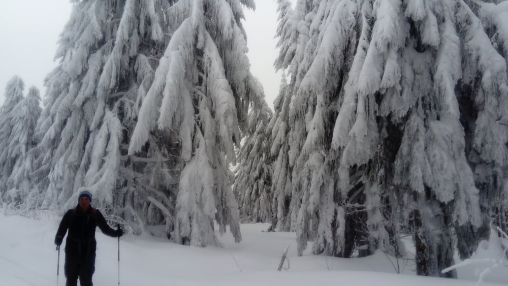
Vom Parkplatz auf der Forststraße nach ca. 50 m in einen schmalen Waldweg einschwenken. Der Weg führt im wesentlichen geradeaus in südöstlicher Richtung hinauf zur Höhenloipe. Auf dieser links und dann rechts zum Landshuter Haus (2 Std.).

Von hier der Beschilderung Geißkopf hinauf zum Aussichtsturm und bewirtschafteter Hütte. (1/2 Std.). Richtung Westen hinunter zur Loipe und auf dieser rechts weiter bis zur Wegkreuzung. Der Weg 4 führt vorbei am Einödriegel, quert die Skipiste und immer geradeaus zu einer markanten Kreuzung. Kurz abwärts und dann links zur Langlaufloipe Kleinried. Auf dieser zurück zum Ausgangspunkt.

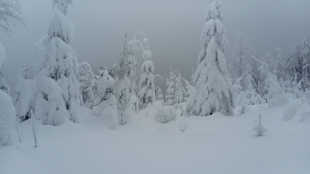
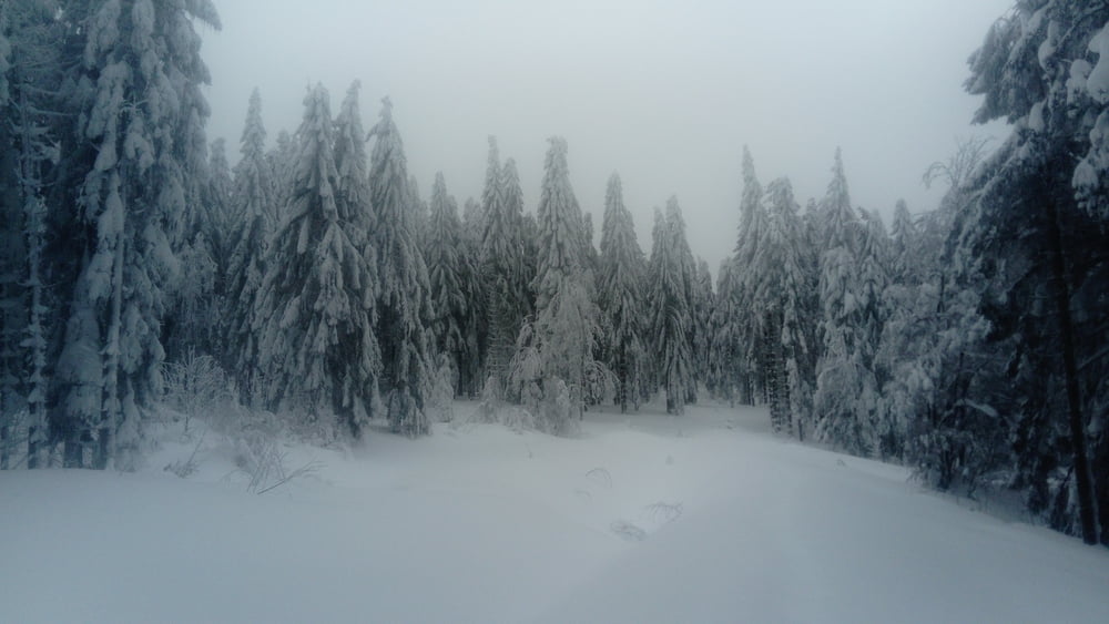
Hinweis: Die Loipe Kleinried war heute wegen zahlreich umgefallener Bäume nicht gespurt.

Galerija izletov

Zemljevid in višinski profil izleta

  • Open Street Map
  • Google
Minimum height 780 m Maximum height 1097 m Prikaz podrobnosti

More about the tour author

JoHangler
Member since 2013

Send private message

Komentarji

Auf der A3 bis Deggendorf, hier auf die B11 bis Gotteszell, dann nach Zachenberg und weiter nach Kleinried. Geräumter Parkplatz am Ende der Asphaltstraße.

Poti GPS

Trackpoints
  • GPX / Garmin Map Source (gpx) download
  • TCX / Garmin Training Center® (tcx) download
  • CRS / Garmin Training Center® (crs) download
  • Google Earth (kml) download
  • G7ToWin (g7t) download
  • TTQV (trk) download
  • Overlay (ovl) download
  • Fugawi (txt) download
  • Kompass (DAV) Track (tk) download
  • List z izleti (pdf) download
  • Original file of the author (gpx) download

More about the tour author

JoHangler
Member since 2013

Send private message
Share track
Add to my favorites
Remove from my favorites
Edit tags
My score
Rate
Izlet: Geißkopf
Vrsta: Krplje
Dolžina: 12,2 km
Evaluated on:
Trajanje:
Day(s)
Hour(s)
Minute(s)
Ocena: Pokrajina Dejavnik zabave Kondicija Tehnika