Login

Si pozabil/a podatke za prijavo?

Cookies have to be accepted!
Your browser's cookie functionality is disabled. Please enable this functionality.

Not a member yet?

Register now
Login

Available for registred users only

Log in to use this feature.

Si pozabil/a podatke za prijavo?

Cookies have to be accepted!
Your browser's cookie functionality is disabled. Please enable this functionality.

Not a member yet?

Register now
Filter
Kategorije
Advanced filters
  • Dolžina (km)
  • Metri nadmorske višine
Shrani filter Reset filter

TrackRank

QRCode

Technical data

Dolžina12,1 km Metri nadmorske višine664 m Way down677 m Trajanje04:37 h:m Datum17.02.2019
Ocene Author Pokrajina Dejavnik zabave Kondicija Tehnika

Statistika

337 Pogledi Ocene 7 Prenosi Povprečje
Rate
  • List z izleti
  • Prihod
  • Prenosi
Ottimo tutto.Percorso lungo ma non difficile Nelle dolomiti è tutto meraviglioso. Giornata splendida

Further information at

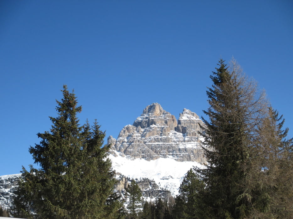
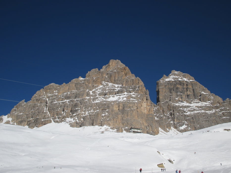
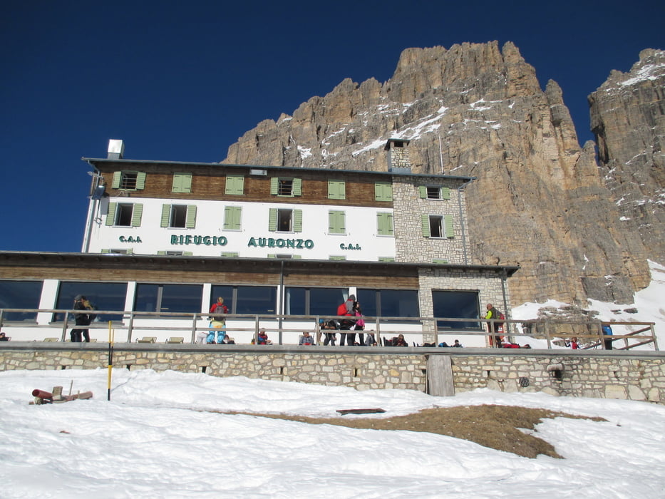
https://www.dolomiti.it/it/natura/montagne/le-tre-cime-di-lavaredo/

Galerija izletov

Zemljevid in višinski profil izleta

  • Open Street Map
  • Google
Minimum height 1761 m Maximum height 2316 m Prikaz podrobnosti

More about the tour author

agosflavio
Member since 2013

Send private message

Komentarji

Poti GPS

Trackpoints
  • GPX / Garmin Map Source (gpx) download
  • TCX / Garmin Training Center® (tcx) download
  • CRS / Garmin Training Center® (crs) download
  • Google Earth (kml) download
  • G7ToWin (g7t) download
  • TTQV (trk) download
  • Overlay (ovl) download
  • Fugawi (txt) download
  • Kompass (DAV) Track (tk) download
  • List z izleti (pdf) download
  • Original file of the author (gpx) download

More about the tour author

agosflavio
Member since 2013

Send private message
Share track
Add to my favorites
Remove from my favorites
Edit tags
My score
Rate
Izlet: Ciaspolata al Rif. Auronzo Tre Cime di Lavaredo
Vrsta: Krplje
Dolžina: 12,1 km
Evaluated on:
Trajanje:
Day(s)
Hour(s)
Minute(s)
Ocena: Pokrajina Dejavnik zabave Kondicija Tehnika