


Tuenno-Terres-Crescino-Spormaggiore-Priori-Andalo-
Valbiole-Molveno-Ranzo-Lago di Toblino-Arco-Torbole
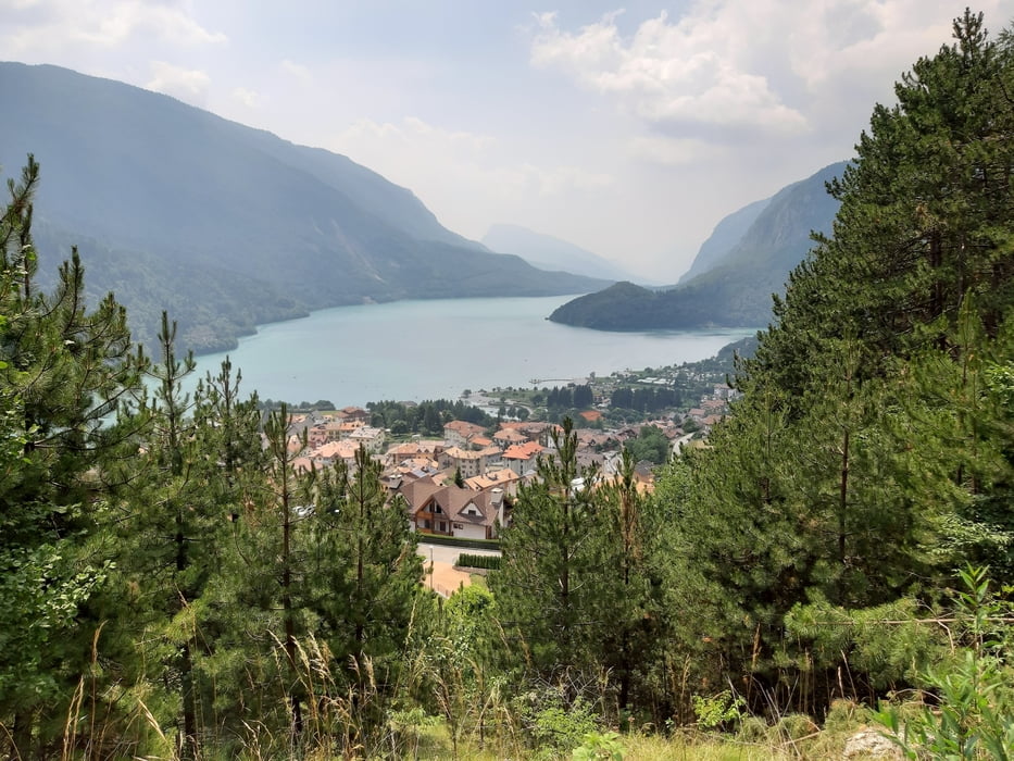
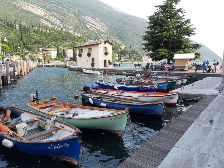
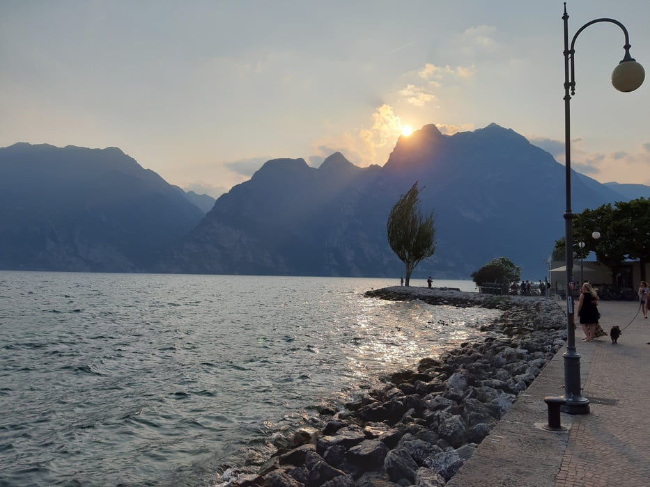
Straße runter nach Crescino. Bald geht’s in die Apfelplantagen - die lieben die Hitze! Nach Spormaggiore treffe ich auf einen offiziellen MTB Weg - wunderbar schattig und kühl, einem Bach entlang. Tw. steil, sonst aber gut fahrbar. Andalo brummt mit italienischen Touristen und Plastikspielplätzen. Nichts wie weg! Nach Ranzo muss ich auf einen anspruchsvollen Downhill-Weg: macht Spaß. In Molveno eine Werkstatt gefunden (direkt bei der Talstation der Liftanlage - die betreuen hauptsächlich die Downhiller): endlich wusste man mir zu helfen!! Da und entlang des Sees wimmelt es nur so von Transalplern: letzte Etappe, Start war in Hintertux! Vor einer Woche. Zuletzt noch die Mühen der Ebene: Radweg nach Torbole. Quartier: Hotel Geier, sehr gut!
Straße runter nach Crescino. Bald geht’s in die Apfelplantagen - die lieben die Hitze! Nach Spormaggiore treffe ich auf einen offiziellen MTB Weg - wunderbar schattig und kühl, einem Bach entlang. Tw. steil, sonst aber gut fahrbar. Andalo brummt mit italienischen Touristen und Plastikspielplätzen. Nichts wie weg! Nach Ranzo muss ich auf einen anspruchsvollen Downhill-Weg: macht Spaß. In Molveno eine Werkstatt gefunden (direkt bei der Talstation der Liftanlage - die betreuen hauptsächlich die Downhiller): endlich wusste man mir zu helfen!! Da und entlang des Sees wimmelt es nur so von Transalplern: letzte Etappe, Start war in Hintertux! Vor einer Woche. Zuletzt noch die Mühen der Ebene: Radweg nach Torbole. Quartier: Hotel Geier, sehr gut!
Further information at
http://www.hotelgeier.com/tedesco/index.phpGalerija izletov
Zemljevid in višinski profil izleta
Minimum height 123 m
Maximum height 1183 m
More about the tour author
|
|
mitter |
Komentarji

Start in Tuenno, Garni Ferari.
Poti GPS
Trackpoints-
GPX / Garmin Map Source (gpx) download
-
TCX / Garmin Training Center® (tcx) download
-
CRS / Garmin Training Center® (crs) download
-
Google Earth (kml) download
-
G7ToWin (g7t) download
-
TTQV (trk) download
-
Overlay (ovl) download
-
Fugawi (txt) download
-
Kompass (DAV) Track (tk) download
-
List z izleti (pdf) download
-
Original file of the author (gpx) download
More about the tour author
|
|
mitter |
Add to my favorites
Remove from my favorites
Edit tags
Open track
My score
Rate