


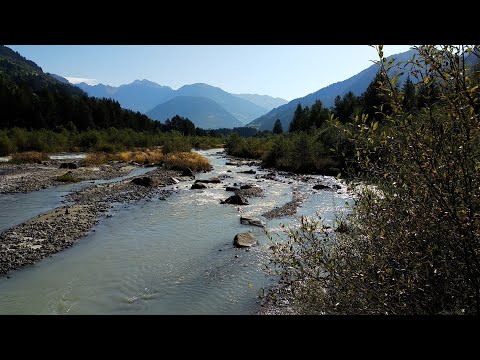
Vom Parkplatz wenige Meter zurück, nach links zum Waldrand, rechts durch Wald zum "Steingarten". Links auf Fuß- Radweg weiter, nach Brücke über Mareiter Bach links und nach 250m halbrechts im Wald zum Weg in Bachnähe. Später wieder auf Fuß- Radweg bis Mareit, durch den Ort zur Kirche.
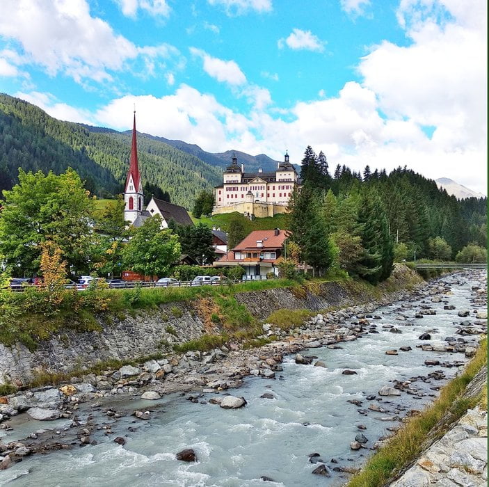
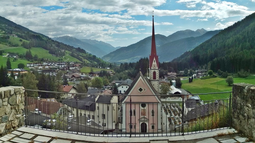
Lohnenswert: kurz hinauf zum Schloss Wolfsthurn Besichtigung des Jagd- und Fischereimuseums!
Auf gleichem Weg zurück, wir bleiben auf dem Fuß- Radweg bis vor Gasteig, nach Industriewerk rechts über den Bach, nochmals rechts und über das Biotop Schönau zurück.
Galerija izletov
Zemljevid in višinski profil izleta
Minimum height 949 m
Maximum height 1051 m
More about the tour author
|
|
heinz-57 |
Komentarji

Von Sterzing kommend nach Gasteig und weiter durch Stange. Am Ortsende rechts kleine Parkbucht.
Poti GPS
Trackpoints-
GPX / Garmin Map Source (gpx) download
-
TCX / Garmin Training Center® (tcx) download
-
CRS / Garmin Training Center® (crs) download
-
Google Earth (kml) download
-
G7ToWin (g7t) download
-
TTQV (trk) download
-
Overlay (ovl) download
-
Fugawi (txt) download
-
Kompass (DAV) Track (tk) download
-
List z izleti (pdf) download
-
Original file of the author (gpx) download
More about the tour author
|
|
heinz-57 |
Add to my favorites
Remove from my favorites
Edit tags
Open track
My score
Rate