Login

Si pozabil/a podatke za prijavo?

Cookies have to be accepted!
Your browser's cookie functionality is disabled. Please enable this functionality.

Not a member yet?

Register now
Login

Available for registred users only

Log in to use this feature.

Si pozabil/a podatke za prijavo?

Cookies have to be accepted!
Your browser's cookie functionality is disabled. Please enable this functionality.

Not a member yet?

Register now
Filter
Kategorije
Advanced filters
  • Dolžina (km)
  • Metri nadmorske višine
Shrani filter Reset filter

TrackRank

QRCode

Technical data

Dolžina29,4 km Metri nadmorske višine803 m Way down800 m Trajanje03:00 h:m Datum10.07.2020
Ocene Author Pokrajina Dejavnik zabave Kondicija Tehnika

Statistika

216 Pogledi Ocene 43 Prenosi Povprečje
Rate
  • List z izleti
  • Prihod
  • Prenosi

Start der Tour ist am Weißensee in Naggl.

Von Naggl geht es über die Seestraße nach Techendorf, und über die Seepromenade nach Praditz.

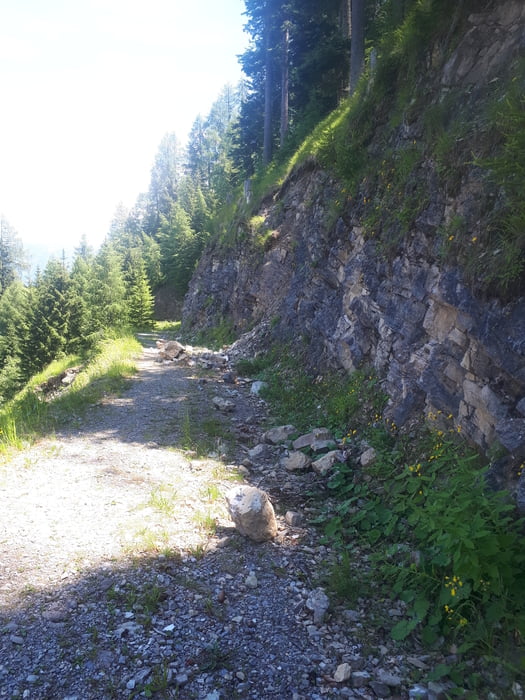
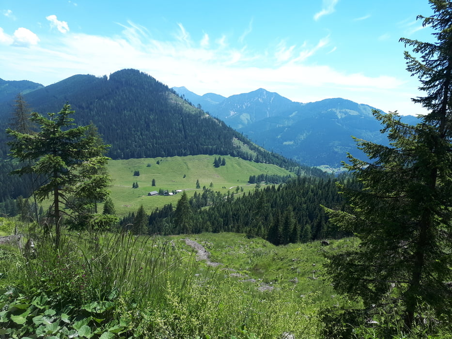
Ab Praditz auf der MTB-Strecke zum Almhof Tschabitscher, und danach Richtung Weiße Wand.

Kurz nach der Weißen Wand zweigt ein Wanderweg, zur Gaiacher Alm ab.

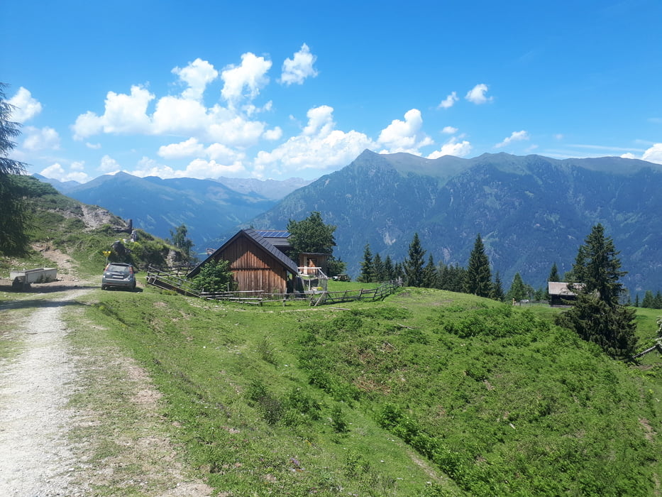
Die Strecke verläuft vorbei an der Gaiacher Alm zur Alm hinterm Brunn,hinunter nach Neusach, und über die Seebrücke zurück nach Naggl. 

Further information at

http://www.tschabitscher.at/

Galerija izletov

Zemljevid in višinski profil izleta

  • Open Street Map
  • Google
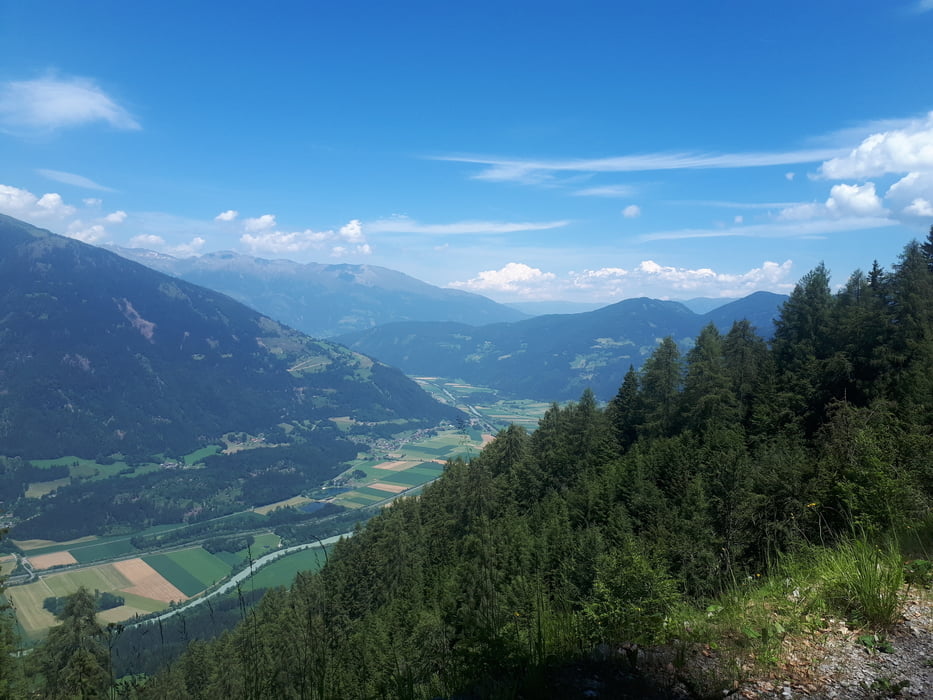
Minimum height 932 m Maximum height 1533 m Prikaz podrobnosti

More about the tour author

kersti
Member since 2012

Send private message

Komentarji

Gebührenpflichtige Parkplätze in Naggl

Poti GPS

Trackpoints
  • GPX / Garmin Map Source (gpx) download
  • TCX / Garmin Training Center® (tcx) download
  • CRS / Garmin Training Center® (crs) download
  • Google Earth (kml) download
  • G7ToWin (g7t) download
  • TTQV (trk) download
  • Overlay (ovl) download
  • Fugawi (txt) download
  • Kompass (DAV) Track (tk) download
  • List z izleti (pdf) download
  • Original file of the author (gpx) download

More about the tour author

kersti
Member since 2012

Send private message
Share track
Add to my favorites
Remove from my favorites
Edit tags
My score
Rate
Izlet: Weißensee - Tschabitscher - Gaiacher Alm - Alm hinterm Brunn
Vrsta: Gorsko kolo
Dolžina: 29,4 km
Evaluated on:
Trajanje:
Day(s)
Hour(s)
Minute(s)
Ocena: Pokrajina Dejavnik zabave Kondicija Tehnika