Login

Si pozabil/a podatke za prijavo?

Cookies have to be accepted!
Your browser's cookie functionality is disabled. Please enable this functionality.

Not a member yet?

Register now
Login

Available for registred users only

Log in to use this feature.

Si pozabil/a podatke za prijavo?

Cookies have to be accepted!
Your browser's cookie functionality is disabled. Please enable this functionality.

Not a member yet?

Register now
Filter
Kategorije
Advanced filters
  • Dolžina (km)
  • Metri nadmorske višine
Shrani filter Reset filter

TrackRank

QRCode

Technical data

Dolžina18,8 km Metri nadmorske višine771 m Way down772 m Trajanje02:30 h:m Datum01.09.2020
Ocene Author Pokrajina Dejavnik zabave Kondicija Tehnika

Statistika

115 Pogledi Ocene 54 Prenosi Povprečje
Rate
  • List z izleti
  • Prihod
  • Prenosi

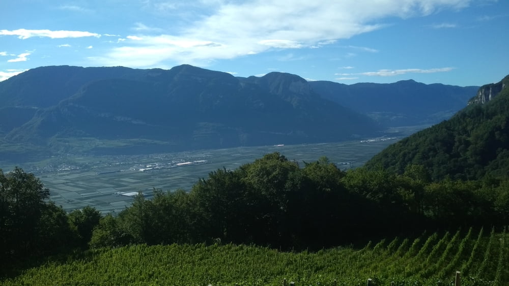
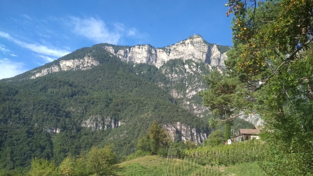
Nette Rundtour auf der Westseite des Kalterer Sees. Start und Ende ist am Camping St. Joseph.

Aufwärts geht es größtenteils über Waldwege, abwärts ist der untere Teil asphaltiert.

Galerija izletov

Zemljevid in višinski profil izleta

  • Open Street Map
  • Google
Minimum height 231 m Maximum height 879 m Prikaz podrobnosti

More about the tour author

buehlems
Member since 2008

Send private message

Komentarji

Poti GPS

Trackpoints
  • GPX / Garmin Map Source (gpx) download
  • TCX / Garmin Training Center® (tcx) download
  • CRS / Garmin Training Center® (crs) download
  • Google Earth (kml) download
  • G7ToWin (g7t) download
  • TTQV (trk) download
  • Overlay (ovl) download
  • Fugawi (txt) download
  • Kompass (DAV) Track (tk) download
  • List z izleti (pdf) download
  • Original file of the author (gpx) download

More about the tour author

buehlems
Member since 2008

Send private message
Share track
Add to my favorites
Remove from my favorites
Edit tags
My score
Rate
Izlet: Rundtour St. Joseph-Altenburg-Tramin
Vrsta: Gorsko kolo
Dolžina: 18,8 km
Evaluated on:
Trajanje:
Day(s)
Hour(s)
Minute(s)
Ocena: Pokrajina Dejavnik zabave Kondicija Tehnika