

- Rundkurs im Uhrzeigersinn.
- Start/Ziel: Numana.
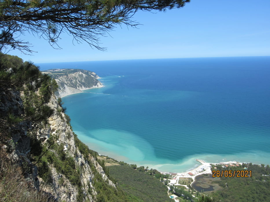
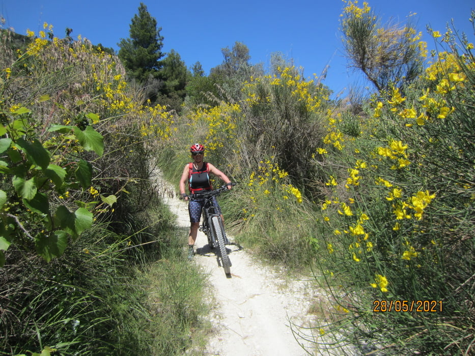
- Wegbeschaffenheit: Ca. 3 KM. auf Haupt.-, Nebenstrassen. Weiter auf Schotter/Asfalt durch die Hügellandschaft des Monte Conero. 4 Sterne für Kondition, da die Anstiege meist ziemlich steil sind. 3 Sterne für die Technik, da einige kurze Passagen (Auf und Ab) ziemlich steil und grobschottlig sind S1-S2.
- Die Tour ist auch für 2 Sterne Techniker geeignet, wenn diese kurze Schiebepassagen akzeptieren.
- KM 14,5 Osteria "Il Poggio". Ab 12,30 Küche. Donnerstag Ruhetag.
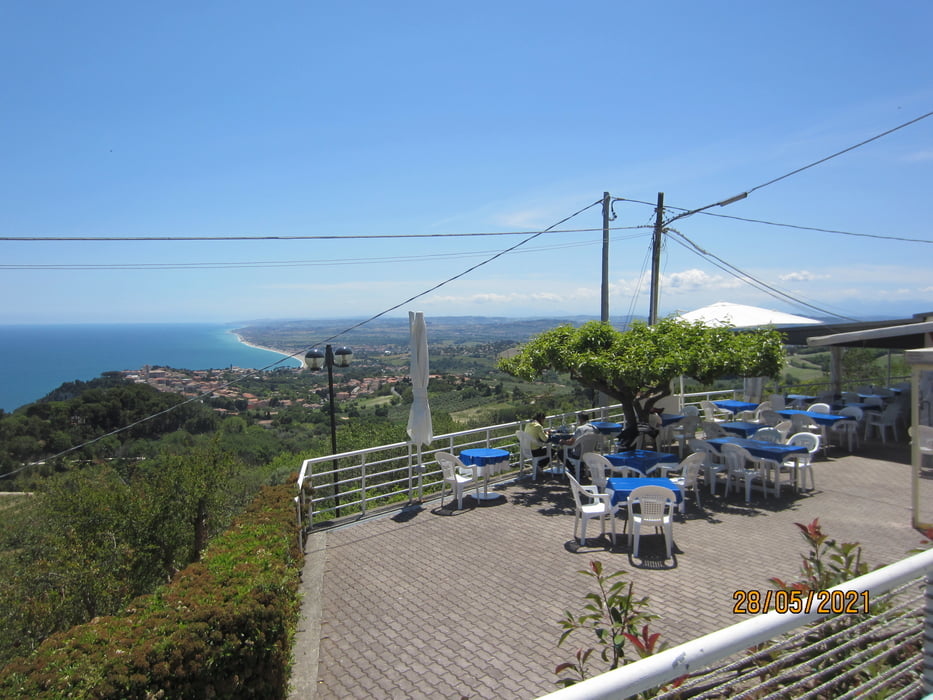
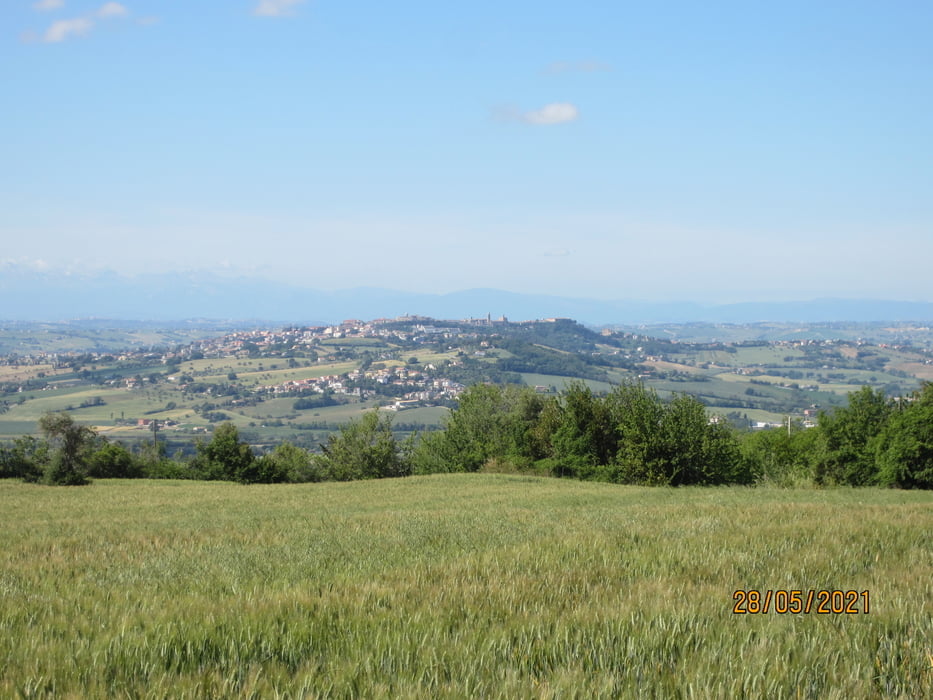
- KM 22 Osteria/Bar " Belvedere". Kein Ruhetag.Traumhafte Aussicht.
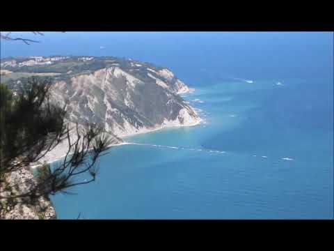
- KM 24 Spiaggia San Michele. Das Rad muss ca. 200 MT. durch den Sandstrand geschoben werden, bevor die steile Auffahrt nach Sirolo beginnt.
- PS. Wir sind die Tour mit dem E-Bike gefahren. Keine besondere Kondition nötig.
Galerija izletov
Zemljevid in višinski profil izleta
Minimum height -3 m
Maximum height 499 m
More about the tour author
|
|
MargesinFriedrich |
Komentarji

Poti GPS
Trackpoints-
GPX / Garmin Map Source (gpx) download
-
TCX / Garmin Training Center® (tcx) download
-
CRS / Garmin Training Center® (crs) download
-
Google Earth (kml) download
-
G7ToWin (g7t) download
-
TTQV (trk) download
-
Overlay (ovl) download
-
Fugawi (txt) download
-
Kompass (DAV) Track (tk) download
-
List z izleti (pdf) download
-
Original file of the author (gpx) download
More about the tour author
|
|
MargesinFriedrich |
Add to my favorites
Remove from my favorites
Edit tags
Open track
My score
Rate