Login

Si pozabil/a podatke za prijavo?

Cookies have to be accepted!
Your browser's cookie functionality is disabled. Please enable this functionality.

Not a member yet?

Register now
Login

Available for registred users only

Log in to use this feature.

Si pozabil/a podatke za prijavo?

Cookies have to be accepted!
Your browser's cookie functionality is disabled. Please enable this functionality.

Not a member yet?

Register now
Filter
Kategorije
Advanced filters
  • Dolžina (km)
  • Metri nadmorske višine
Shrani filter Reset filter

TrackRank

QRCode

Technical data

Dolžina144,9 km Metri nadmorske višine733 m Way down733 m Trajanje2 days 0 h Datum28.05.2021
Ocene Author Pokrajina Dejavnik zabave Kondicija Tehnika

Statistika

297 Pogledi Ocene 14 Prenosi Povprečje
Rate
  • List z izleti
  • Prihod
  • Prenosi
Los geht's in Hamburg Lemsahl mit dem Bikepacking Abenteuer. Ziel ist der Wildcampingplatz Blomnath, geht aber nur mit Reservierung. Unter www.wildes-sh.de findet man weitere Infos.
 
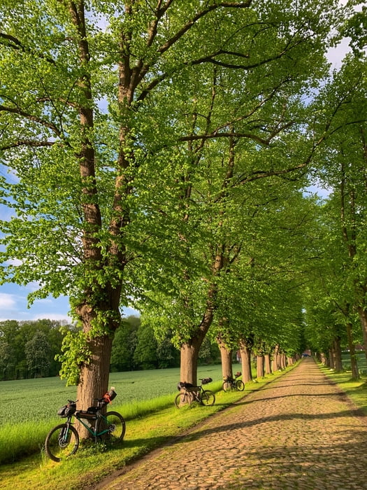
Lemsahl - Wittmoor - Tagstedter Forst - Tangstedt - Kayhude -  Gut Stegen - Nienwohlder Moor - Borstel - Heiderfeldtrail - Leezener Au - Kükels - Leezener Seetrail - Högersdorf Travebrücke - Rewe in Bad Segeberg (Einkauf) Kalkberg - Segeberger See - Quaal - Wardersee - Blomnath nach ca 77 km waren wir am Ziel
 
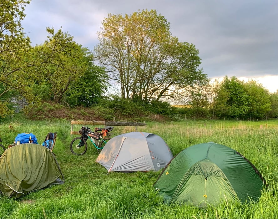
am nächsten Morgen geht's weiter:
 
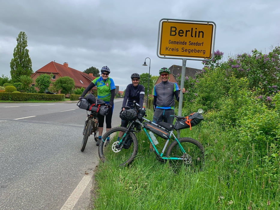
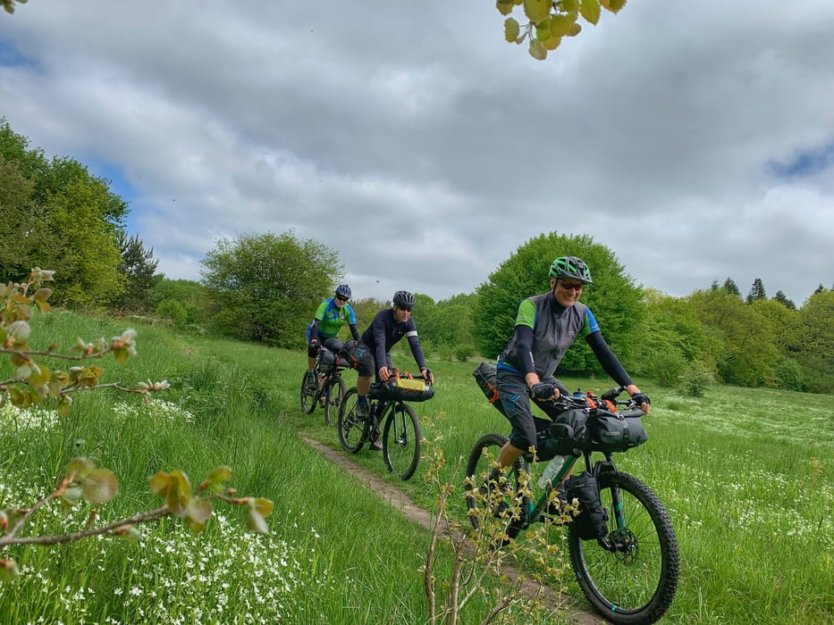
Blomnath - Berlin - Passopp - Grabek - Müssen - Krems II - Travetrails - SE - Högersdorf Travebrücke - Mözen (Hofcafe) - Schwissel - Bebensee - Tralau - Klingberg - Sülfeld - Gräberkate - Wilhelm - Brook - Duvenstedt - Lemsahl

Further information at

http://www.wildes-sh.de

Galerija izletov

Zemljevid in višinski profil izleta

  • Open Street Map
  • Google
Minimum height -34 m Maximum height 67 m Prikaz podrobnosti

More about the tour author

hegi
Member since 2007

Send private message

Komentarji

Parken kann man in Hamburg Lemsahl in den Wohngegenden!

Poti GPS

Trackpoints
  • GPX / Garmin Map Source (gpx) download
  • TCX / Garmin Training Center® (tcx) download
  • CRS / Garmin Training Center® (crs) download
  • Google Earth (kml) download
  • G7ToWin (g7t) download
  • TTQV (trk) download
  • Overlay (ovl) download
  • Fugawi (txt) download
  • Kompass (DAV) Track (tk) download
  • List z izleti (pdf) download
  • Original file of the author (gpx) download

More about the tour author

hegi
Member since 2007

Send private message
Share track
Add to my favorites
Remove from my favorites
Edit tags
My score
Rate
Izlet: 7. HBT Bikepacking the great divide zw. Alster und Trave
Vrsta: Gorsko kolo
Dolžina: 144,9 km
Evaluated on:
Trajanje:
Day(s)
Hour(s)
Minute(s)
Ocena: Pokrajina Dejavnik zabave Kondicija Tehnika