Login

Si pozabil/a podatke za prijavo?

Cookies have to be accepted!
Your browser's cookie functionality is disabled. Please enable this functionality.

Not a member yet?

Register now
Login

Available for registred users only

Log in to use this feature.

Si pozabil/a podatke za prijavo?

Cookies have to be accepted!
Your browser's cookie functionality is disabled. Please enable this functionality.

Not a member yet?

Register now
Filter
Kategorije
Advanced filters
  • Dolžina (km)
  • Metri nadmorske višine
Shrani filter Reset filter

TrackRank

QRCode

Technical data

Dolžina49,8 km Metri nadmorske višine1621 m Way down1640 m Trajanje05:30 h:m Datum02.10.2021
Ocene Author Pokrajina Dejavnik zabave Kondicija Tehnika

Statistika

240 Pogledi Ocene 12 Prenosi Povprečje
Rate
  • List z izleti
  • Prihod
  • Prenosi
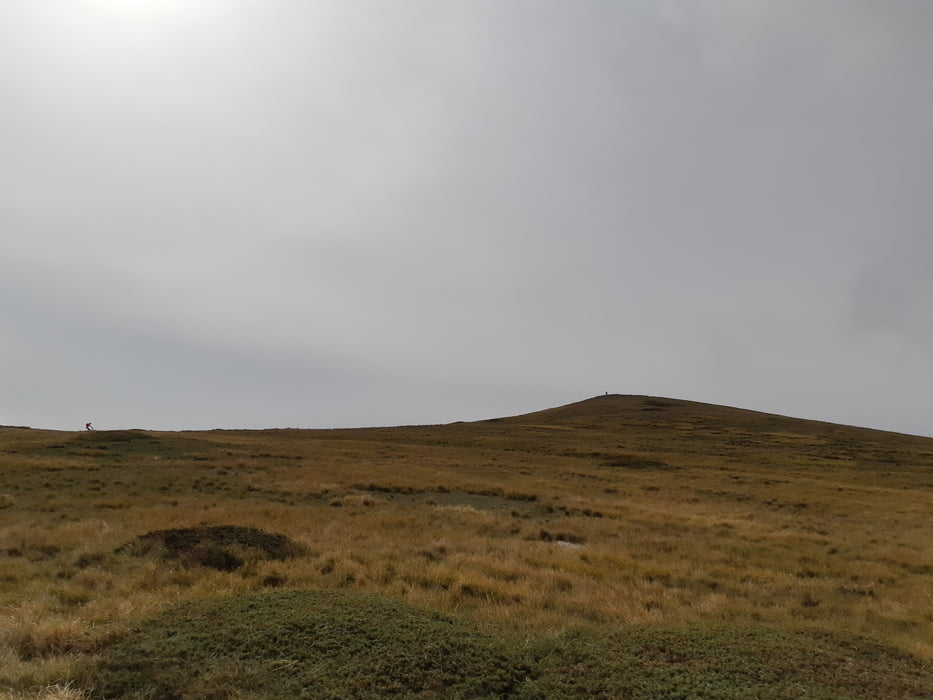
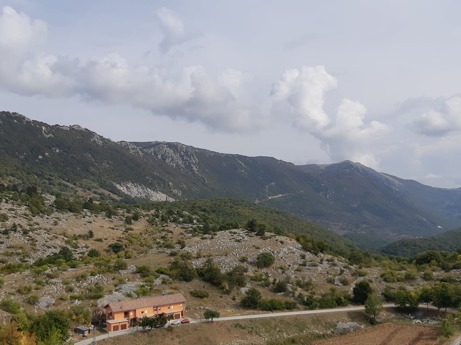
Anfangs ein Karrenweg, ab der Hälfte ein schöner Trail nach Osione. Nun einige km eine angenehme Asphaltstraße, die wir nach rechts verlassen, um auf dem Kamm zu kommen. Nun kann jeder entscheiden, ob man direkt abfährt oder noch den Aussichtsgipfel des Monte Cappucciota mitnimmt. Nach der schönen Abfahrt und der Querung der großen Wiese geht es auf einen Karrenweg. Über diesen in etwas Auf-und-Ab bis zum Campo Imperatore und von dort zurück nach Castel del Monte.

Galerija izletov

Zemljevid in višinski profil izleta

  • Open Street Map
  • Google
Minimum height 550 m Maximum height 1796 m Prikaz podrobnosti

More about the tour author

Klaus112
Member since 2011

Send private message

Komentarji

Von der Autobahn Rom - Temaro bei LÁquila abfahren und die sehr schöne Strecke über St. Stefano nach Castel del Monte.

Wir parken beim Albergo Parco Gran Sasso, es gibt zahlreiche weiter kostenfreie Parkplätze.

Poti GPS

Trackpoints
  • GPX / Garmin Map Source (gpx) download
  • TCX / Garmin Training Center® (tcx) download
  • CRS / Garmin Training Center® (crs) download
  • Google Earth (kml) download
  • G7ToWin (g7t) download
  • TTQV (trk) download
  • Overlay (ovl) download
  • Fugawi (txt) download
  • Kompass (DAV) Track (tk) download
  • List z izleti (pdf) download
  • Original file of the author (gpx) download

More about the tour author

Klaus112
Member since 2011

Send private message
Share track
Add to my favorites
Remove from my favorites
Edit tags
My score
Rate
Izlet: Monte Cappucciota
Vrsta: Gorsko kolo
Dolžina: 49,8 km
Evaluated on:
Trajanje:
Day(s)
Hour(s)
Minute(s)
Ocena: Pokrajina Dejavnik zabave Kondicija Tehnika