


Grobe Streckenbeschreibung:
Tag 1: Arnbach - Stonemantrail - Padola
Tag 2: Padola - Auronzo
Tag 3: Auronzo - Col di San Pietro - Borca di Cadore
Tag 4: Borca di Cadore - Monte Penna - Col delle Crepe - Pecol
Tag 5: Pecol - Col de la Grava - Passo Duran - Voltaga Agordino
Tag 6: Voltago Agordino - Ponte Mas - Feltre - Lago di Corlo
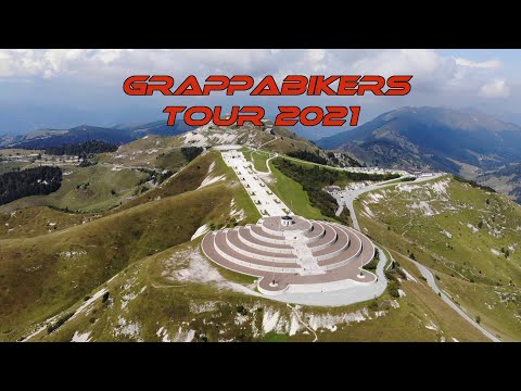
Tag 7: Lago di Corlo - Mt. Grappa - Semonzo del Grappa
Tag 8: Semonzo del Grappa - Feltre - Belluno - Ponte nelle Alpi
Tag 9: Ponte nelle Alpi - Pieve di Cadore - Cortina d´Ampezzo
Tag 10: Cortina - Faloria - Rio Gere - Padeon - Dürrensee - Toblach - Arnbach
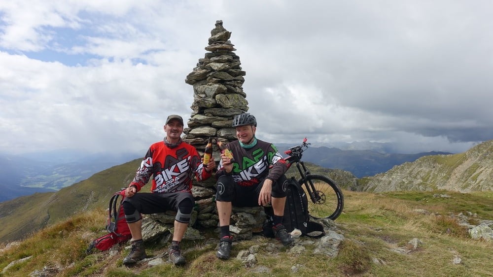
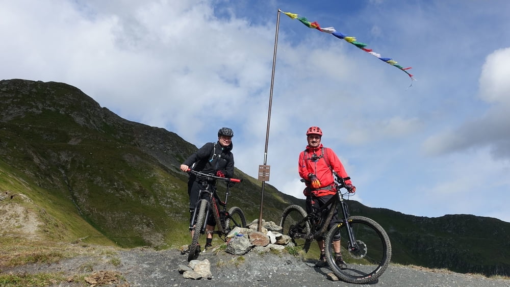
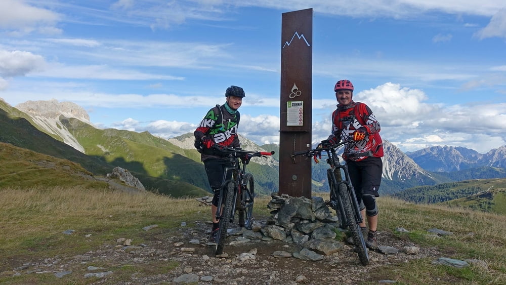
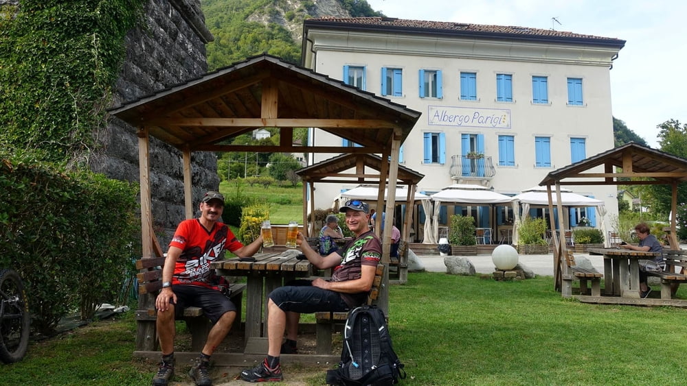
Galerija izletov
Zemljevid in višinski profil izleta
Minimum height 118 m
Maximum height 2571 m
More about the tour author
|
|
GrappaBikers |
Komentarji

Wir sind in Kärnten/Österreich gestartet.
Poti GPS
Trackpoints-
GPX / Garmin Map Source (gpx) download
-
TCX / Garmin Training Center® (tcx) download
-
CRS / Garmin Training Center® (crs) download
-
Google Earth (kml) download
-
G7ToWin (g7t) download
-
TTQV (trk) download
-
Overlay (ovl) download
-
Fugawi (txt) download
-
Kompass (DAV) Track (tk) download
-
List z izleti (pdf) download
-
Original file of the author (gpx) download
More about the tour author
|
|
GrappaBikers |
Add to my favorites
Remove from my favorites
Edit tags
Open track
My score
Rate