

- Rundkurs gegen den Uhrzeigersinn
- Start/Ziel: Arco.
- Abwechslungsreiche Tour auf Nebenwegen, Waldwegen und Pfaden ins Hinterland der Sarca.
- Von KM 7,5 - MH 158 bis KM 8,7 - MH 284 steiniger, stellenweise steiler Karrenweg. Dieser Abschnitt ist mit E-MTB°s ohne grössere Probleme zu bewältigen. Mit dem MTB-Fully ist dieser Abschnitt eine kleine Herausforderung!!!!!!!!!!. Kurze Schiebepassagen. S1, kurze Abschnitte S2.
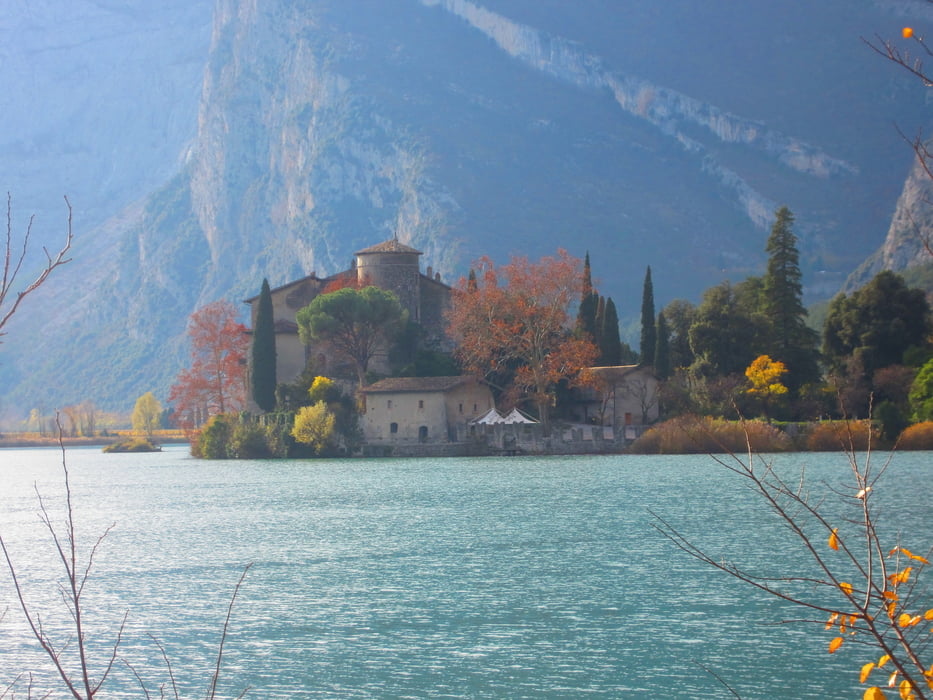
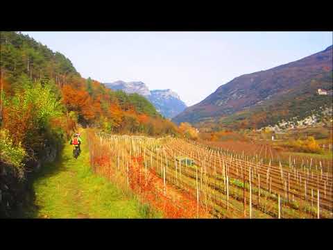
- Von Toblino auf dem See-Radweg nach Sarche. Weiter auf dem Radweg bis Pietramurata.
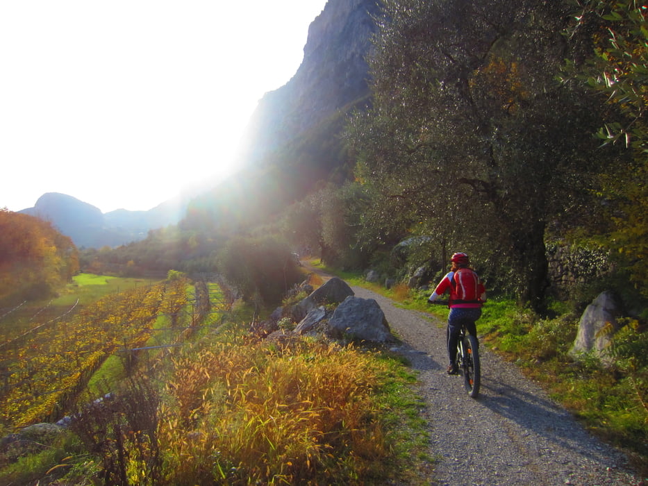
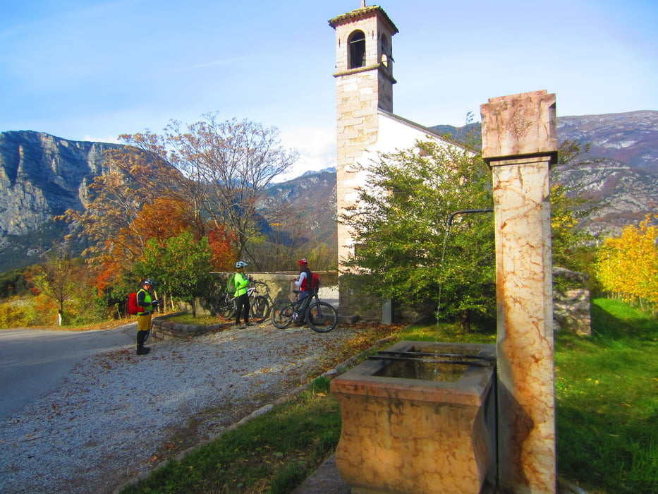
- Ab Pietramurata am Berghang entlang, auf flowigem, teils schottrigem Weg/Steig durch Wälter, Weinäcker und Olivenhaine bis Arco.
Galerija izletov
Zemljevid in višinski profil izleta
Minimum height 88 m
Maximum height 583 m
More about the tour author
|
|
MargesinFriedrich |
Komentarji

Poti GPS
Trackpoints-
GPX / Garmin Map Source (gpx) download
-
TCX / Garmin Training Center® (tcx) download
-
CRS / Garmin Training Center® (crs) download
-
Google Earth (kml) download
-
G7ToWin (g7t) download
-
TTQV (trk) download
-
Overlay (ovl) download
-
Fugawi (txt) download
-
Kompass (DAV) Track (tk) download
-
List z izleti (pdf) download
-
Original file of the author (gpx) download
More about the tour author
|
|
MargesinFriedrich |
Add to my favorites
Remove from my favorites
Edit tags
Open track
My score
Rate