


Rif. Santa Pulenta-Rif. Fonti Minerali
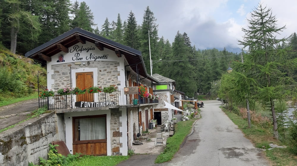
Rif. Santa Pulenta-Locana-Noasca-Rif. Fonti Minerali (1490m)
Dem erwarteten Regen am Nachmittag geschuldete Halbtagsetappe. Vom Rifugio runter die ersten km noch Schotter, ab Porcelli Asphalt. Ab Locana auf der Hauptstraße bis Noasca leicht ansteigend. Dann wird`s steiler.
Der lange Tunnel vor Ceresole ist zum Glück auf einer für den Giro d'Italia 2019 hergerichteten Straße umfahrbar. Dieses für Autos gesperrte Sträßchen führt an diesem schönen Bach mit den Riesensteinblöcken entlang.
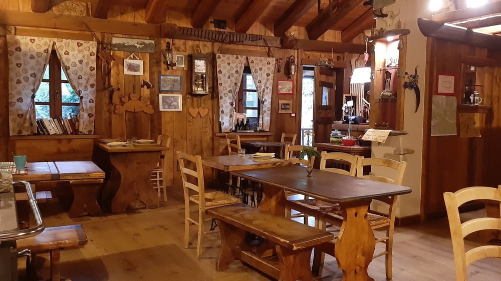
Gleich nach dem Tunnel wieder auf die Hauptstraße und dann bin ich eh gleich da beim Rifugio Fonti Minerali. Hauptsächlich ein Basislager für Kletterer und als Ristorante für den nahen Campingplatz beliebt.
HP 45€, ok.
Galerija izletov

Zemljevid in višinski profil izleta
Minimum height 635 m
Maximum height 1496 m
More about the tour author
|
|
mitter |
Komentarji

Start beim wunderbaren Rifugio Santa Pulenta.
Poti GPS
Trackpoints-
GPX / Garmin Map Source (gpx) download
-
TCX / Garmin Training Center® (tcx) download
-
CRS / Garmin Training Center® (crs) download
-
Google Earth (kml) download
-
G7ToWin (g7t) download
-
TTQV (trk) download
-
Overlay (ovl) download
-
Fugawi (txt) download
-
Kompass (DAV) Track (tk) download
-
List z izleti (pdf) download
-
Original file of the author (gpx) download
More about the tour author
|
|
mitter |
Add to my favorites
Remove from my favorites
Edit tags
Open track
My score
Rate