


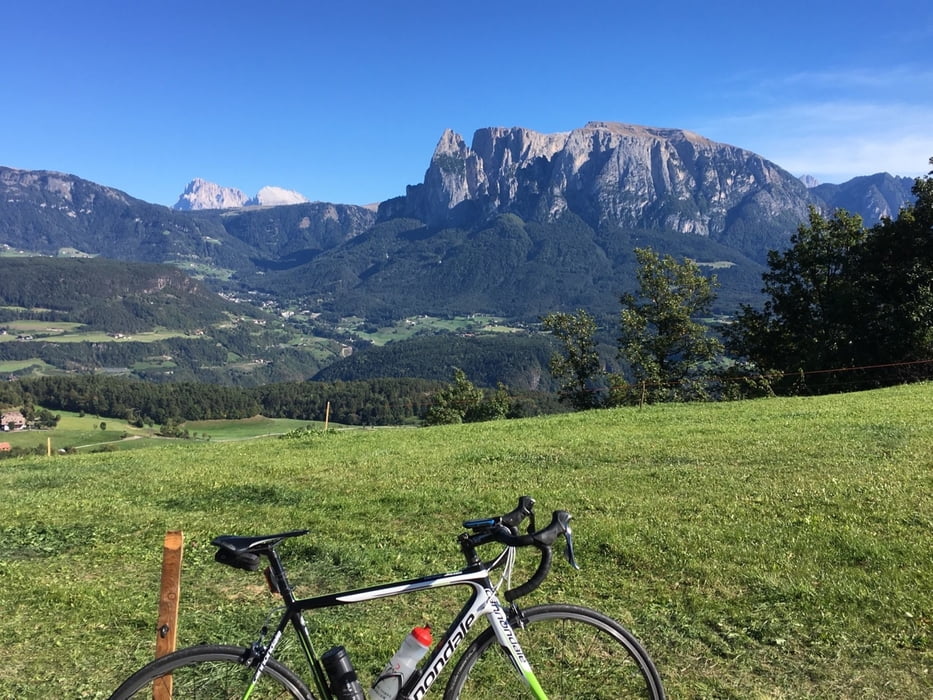
Knakiger Anstieg auf die Villanderer Alm 1800m.
Über Radweg von Bozen bis Klausen, dann ca 1300 Hm bergauf. Die Straße hat wenig Verkehr aber auch manchmal Steigungen im zweistelligen Bereich.
Am Ende der Straße befindet sich ein Parkplatz mit Gasthaus. Es lohnt sich aber auf Kiesweg 1 Km weiter zur nächsten Almhütte mit Einkehr zu fahren.
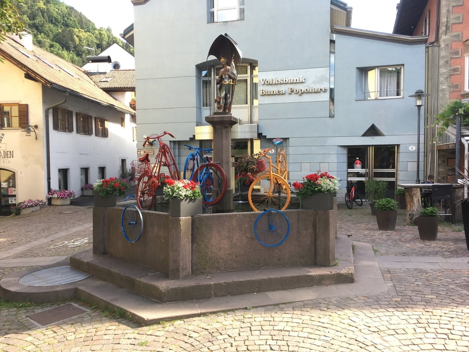
Jetzt 10 Km zurück und hier rechts über die Höhenstraße nach Barbian, Saubach, Klobenstein und hinunter nach Bozen.
Ihr findet alle meine Touren auf Strava.
Further information at
http://www.villandereralm.com/Galerija izletov


Zemljevid in višinski profil izleta
Minimum height 223 m
Maximum height 1786 m
More about the tour author
|
|
Califan |
Komentarji

https://www.google.com/maps/place/46%C2%B029'54.4%22N+11%C2%B022'35.0%22E/@46.4984387,11.3738251,17z/data=!3m1!4b1!4m6!3m5!1s0x0:0xba05a949c28f4cd2!7e2!8m2!3d46.4984349!4d11.3763999
Poti GPS
Trackpoints-
GPX / Garmin Map Source (gpx) download
-
TCX / Garmin Training Center® (tcx) download
-
CRS / Garmin Training Center® (crs) download
-
Google Earth (kml) download
-
G7ToWin (g7t) download
-
TTQV (trk) download
-
Overlay (ovl) download
-
Fugawi (txt) download
-
Kompass (DAV) Track (tk) download
-
List z izleti (pdf) download
-
Original file of the author (gpx) download
More about the tour author
|
|
Califan |
Add to my favorites
Remove from my favorites
Edit tags
Open track
My score
Rate