

Die Tour beginnt flach auf Radweg bis Rovereto. Jetzt kommt die erste Steigung mit ca 30 Km und 1400 Hm gespickt mit ein paar kurzen Erholungsphasen bis zum P.so Campogrosso.
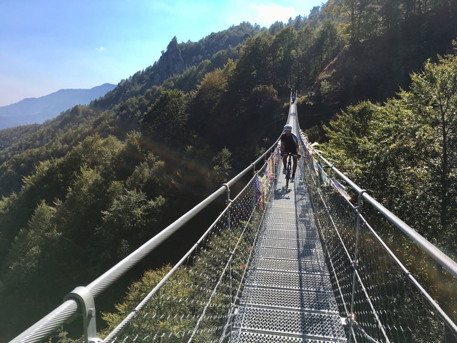
Von Passo Campogrosso zum Pian delle Fugazze ist die Straße in einen schlechten Zustand und vor der 105 m langen Hängebrücke sind dann auch noch ca 100 m zu schieben. Man kann aber auch von P.so Campogrosso auf der Anfahrtsstraße zurück zum Pian delle Fugazze fahren.
Zum Passo Xomo anfangs bergab und dann auf kleiner Straße leicht bergauf zum Übergang.
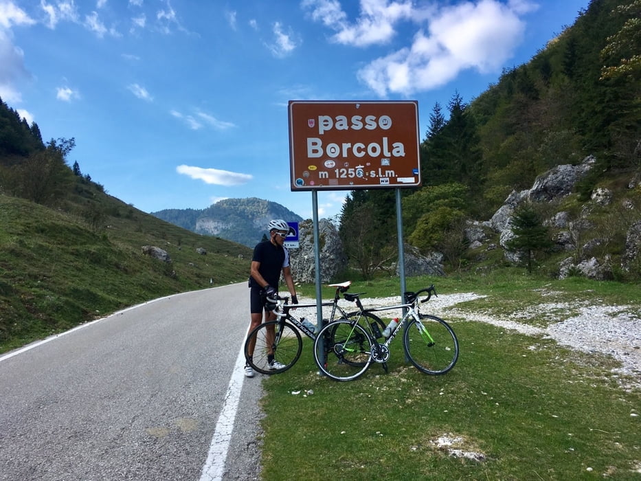
Wir folgen der kleinen Straße bergab Richtung Posina bis ins Tal und hier beginnt der letzte Aufstieg über viele Kehren hinauf zum Passo Borcola. Jetzt sind es noch ca. 30 Km hinunter nach Rovereto und über den Etschtal Radweg zurück nach Trient.
Ab Passo Xomo hat man fast keinen Verkehr mehr.
Die Straße über den Passo Borcola hat Auch Wintersperre und man sollte sich vorher hier informieren.
Ps. Alle meine Touren auch auf Strava.
Further information at
https://www.visitvallidelpasubio.com/cosa-visitare/Einschränkungen
This tour has a carry or push section on 0.1 kilometers
Galerija izletov
Zemljevid in višinski profil izleta
Minimum height 186 m
Maximum height 1455 m
More about the tour author
|
|
Califan |
Komentarji

Parkplatz neben AB Ausfahrt Trient Süd
https://www.google.com/maps/place/Parcheggio/@46.0311674,11.1248009,15.75z/data=!4m5!3m4!1s0x478275469e04bfb1:0xbf87e957cdc54ef9!8m2!3d46.0345968!4d11.1272447!5m2!1e4!1e1
Einschränkungen
This tour has a carry or push section on 0.1 kilometers
Poti GPS
Trackpoints-
GPX / Garmin Map Source (gpx) download
-
TCX / Garmin Training Center® (tcx) download
-
CRS / Garmin Training Center® (crs) download
-
Google Earth (kml) download
-
G7ToWin (g7t) download
-
TTQV (trk) download
-
Overlay (ovl) download
-
Fugawi (txt) download
-
Kompass (DAV) Track (tk) download
-
List z izleti (pdf) download
-
Original file of the author (gpx) download
More about the tour author
|
|
Califan |
Add to my favorites
Remove from my favorites
Edit tags
Open track
My score
Rate