


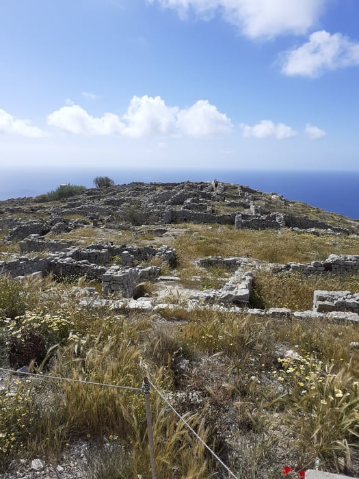
Von Kamari auf einem Pfad zur Kapelle Zoodochou und zum Sattel Alt Thira. Hier lohnt eine Besichtigung der Ausgrabungsstätte von Alt Thira.
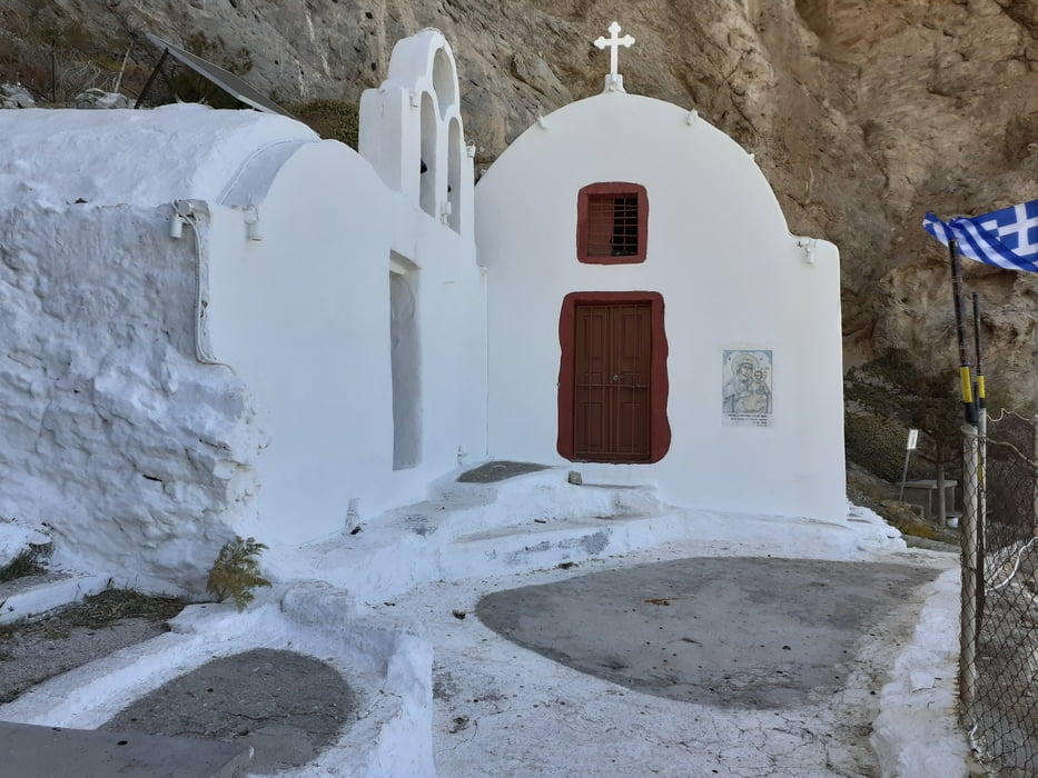
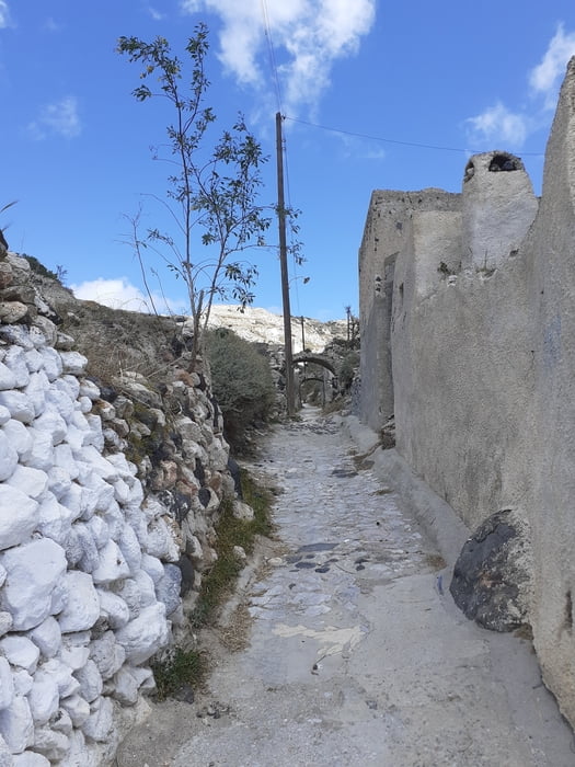
Wieder zurück am Sattel etwas steiler hinunter nach Perissa. Kurz vor Perissa ist eine Abzweigung zur Kapelle Panagia Ketefiani möglich. Wenn die Ebene erreicht ist, auf der Straße Richtung Fira weiter zur eigentlichen Hauptstraße. Diese wird kurz darauf rechts verlassen und bis zu einem Schotterwerk verfolgt. Hier links und die nächste rechts wird Emporio erreicht. Bei der Schule rechts hinein in das Tal und kurz darauf auf den Rücken der Schlucht. Entlang des alten Eselpfades kommen wir nach Pyrgos und von hier über Exo Gonia und Meso Gonia wieder zurück nach Kamari.
Wieder zurück am Sattel etwas steiler hinunter nach Perissa. Kurz vor Perissa ist eine Abzweigung zur Kapelle Panagia Ketefiani möglich. Wenn die Ebene erreicht ist, auf der Straße Richtung Fira weiter zur eigentlichen Hauptstraße. Diese wird kurz darauf rechts verlassen und bis zu einem Schotterwerk verfolgt. Hier links und die nächste rechts wird Emporio erreicht. Bei der Schule rechts hinein in das Tal und kurz darauf auf den Rücken der Schlucht. Entlang des alten Eselpfades kommen wir nach Pyrgos und von hier über Exo Gonia und Meso Gonia wieder zurück nach Kamari.
Galerija izletov
Zemljevid in višinski profil izleta
Minimum height -6 m
Maximum height 367 m

Komentarji

Poti GPS
Trackpoints-
GPX / Garmin Map Source (gpx) download
-
TCX / Garmin Training Center® (tcx) download
-
CRS / Garmin Training Center® (crs) download
-
Google Earth (kml) download
-
G7ToWin (g7t) download
-
TTQV (trk) download
-
Overlay (ovl) download
-
Fugawi (txt) download
-
Kompass (DAV) Track (tk) download
-
List z izleti (pdf) download
-
Original file of the author (gpx) download
Add to my favorites
Remove from my favorites
Edit tags
Open track
My score
Rate