


- Rundkurs gegen den Uhrzeigersinn.
- Start/Ziel: Meran.
- Einfahren auf dem Radweg durch das Passeiertal bis St.Leonhard.
- Weiter auf asfaltierter Nebenstrasse(kein Verkehr) bis Walten.
- Abfahrt auf der Jaufenstrasse.
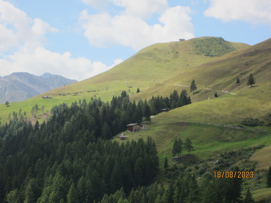
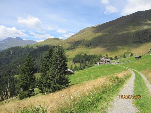
- Anstieg auf Asfalt zur Kuchelalm 9-15%. Die letzten 200 HM auf Forstweg.
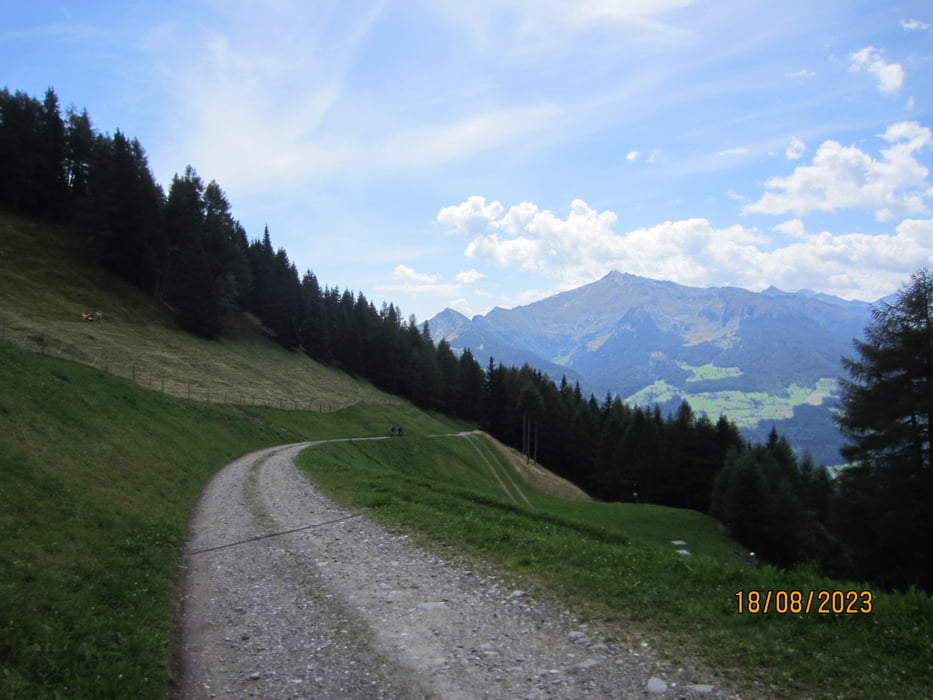
- Abfahrt auf Schotter/Asfalt nach Stuls.
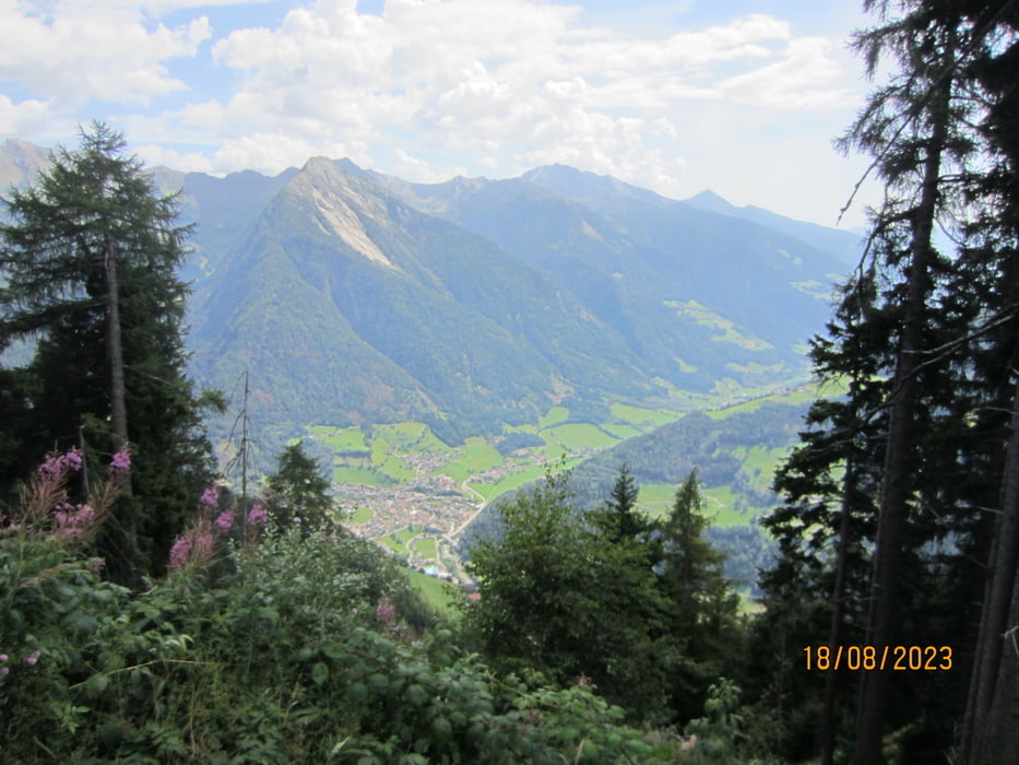
- Weiter talwärts auf wenig befahrener Provinzstrasse nach Moos.
- Kurzer Aufstieg auf wenig befahrener Provinzstrasse nach Platt.
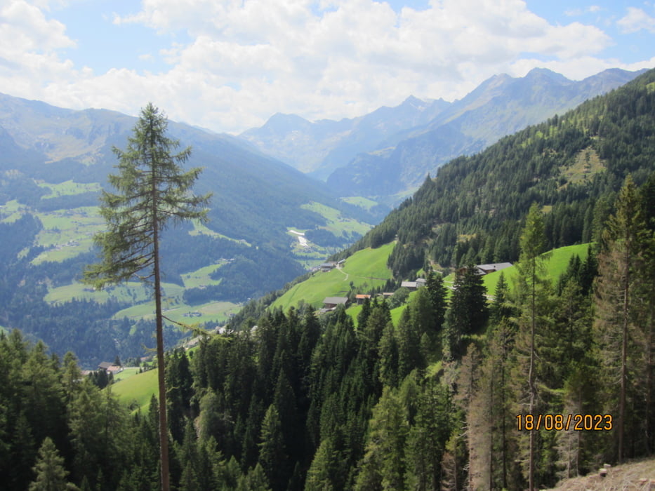
- Abfahrt auf asfaltierter Nebenstrasse nach St.Leonhard.
- Ab St.Leonhard auf dem Radweg nach Meran zurückrollen.
- Ein Danke an Paulsche für den Tourenvorschlag und die Führung.
Galerija izletov
Zemljevid in višinski profil izleta
Minimum height 295 m
Maximum height 1856 m
More about the tour author
|
|
MargesinFriedrich |
Komentarji

Poti GPS
Trackpoints-
GPX / Garmin Map Source (gpx) download
-
TCX / Garmin Training Center® (tcx) download
-
CRS / Garmin Training Center® (crs) download
-
Google Earth (kml) download
-
G7ToWin (g7t) download
-
TTQV (trk) download
-
Overlay (ovl) download
-
Fugawi (txt) download
-
Kompass (DAV) Track (tk) download
-
List z izleti (pdf) download
-
Original file of the author (gpx) download
More about the tour author
|
|
MargesinFriedrich |
Add to my favorites
Remove from my favorites
Edit tags
Open track
My score
Rate