

- Rundkurs im Uhrzeigersinn
- Start/Ziel: Mühlbach-Bäckerei Stampfl. Parkplätze: Bahnhof + Nähe Bahnhof.
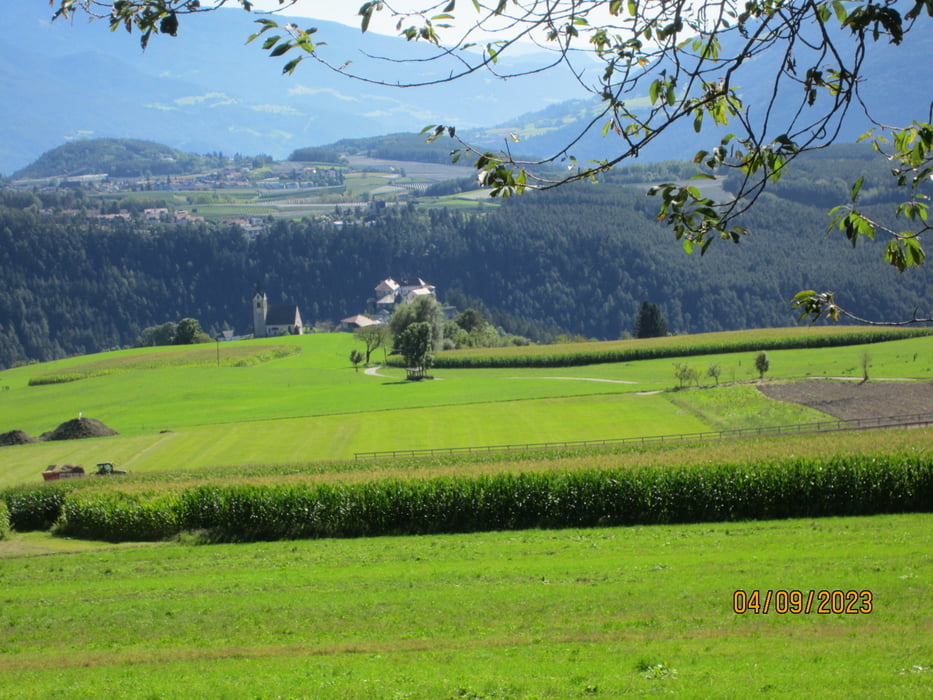
- Von Mühlbach MH 799 auf dem Pustertal-Radweg bis KM 14,5 - MH 777.
- Weiter auf Schotter/Asfalt bis Ehrenburg KM 15,8 - MH 814.
- Aufstieg auf Asfalt(kaum Verkehr) 10-12%(Teilstücke 14%), an Ellen vorbei (Gasthof), bis zum Ende der Asfalt-Strasse KM 24,9 - MH 1.560.
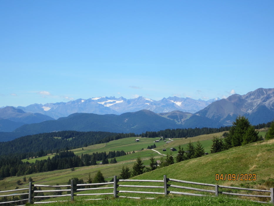
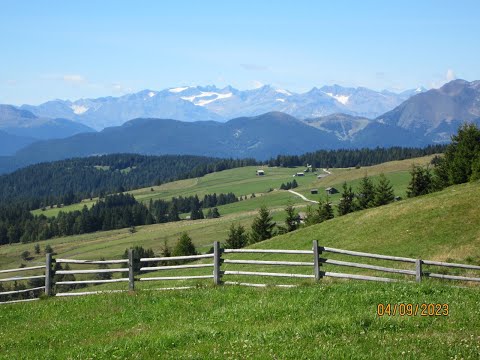
- Weiter auf Schotter(guter Untergrund) 10-12% Steigung(Abschnitte 14%) bis zum höchsten Punkt der Tour KM 30,26 - MH 1.947.
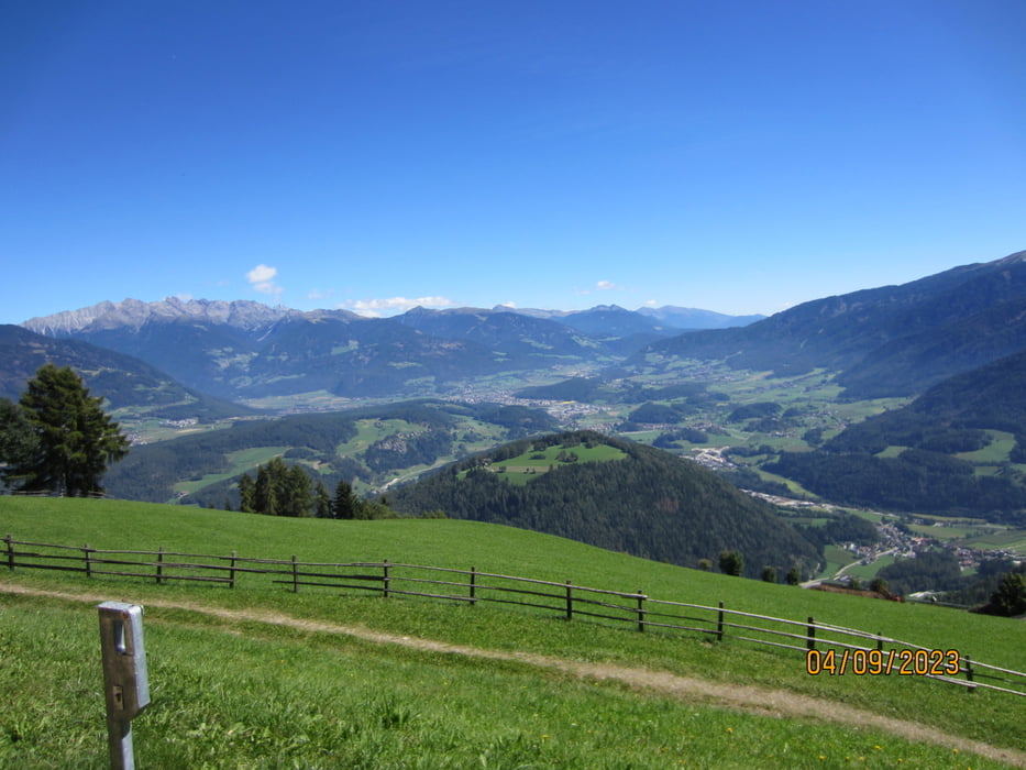
- Abfahrt auf gutem Schotterweg über die ausgedehnten Almen(herrlicher Rundblick) bis zum Gasthof "Starkenfeld" KM 30,7 - MH 1.925.
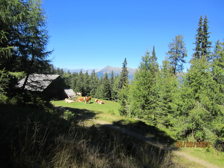
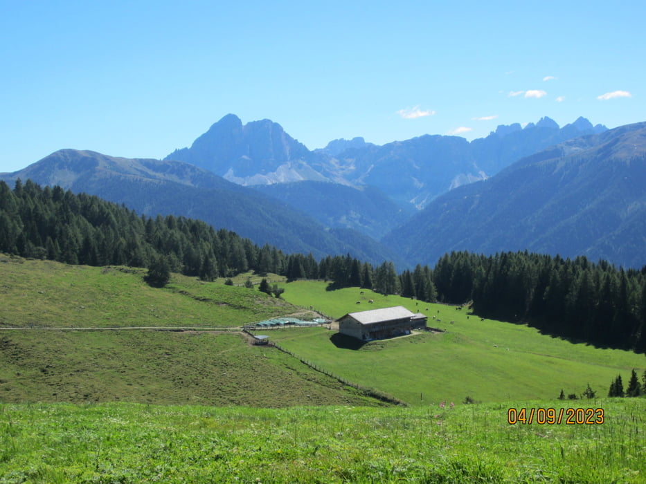
- KM 34,1 - MH 1.830 Gasthof "Roneralm".
- KM 36,6 - MH 1.730 Beginn der Asfalt-Strasse(kein Verkehr) hinunter ins Tal, zurück zum Ausgangspunkt nach Mühlbach KM 48,6 - MH 799.
- Die Tour kann auch gegen den Uhrzeigersinn gefahren werden (weniger schön).
- Habe beim Aufstieg keinen Brunnen gesehen.
- Wir sind die Tour mit dem E-MTB gefahren.
Galerija izletov
Zemljevid in višinski profil izleta
Minimum height 637 m
Maximum height 1948 m
More about the tour author
|
|
MargesinFriedrich |
Komentarji

Poti GPS
Trackpoints-
GPX / Garmin Map Source (gpx) download
-
TCX / Garmin Training Center® (tcx) download
-
CRS / Garmin Training Center® (crs) download
-
Google Earth (kml) download
-
G7ToWin (g7t) download
-
TTQV (trk) download
-
Overlay (ovl) download
-
Fugawi (txt) download
-
Kompass (DAV) Track (tk) download
-
List z izleti (pdf) download
-
Original file of the author (gpx) download
More about the tour author
|
|
MargesinFriedrich |
Add to my favorites
Remove from my favorites
Edit tags
Open track
My score
Rate