
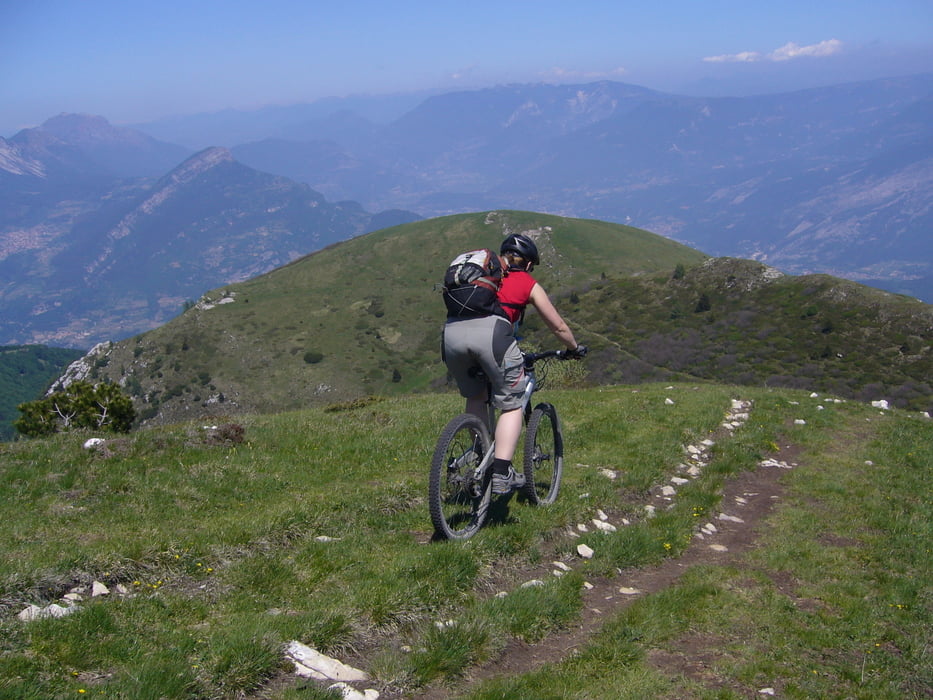

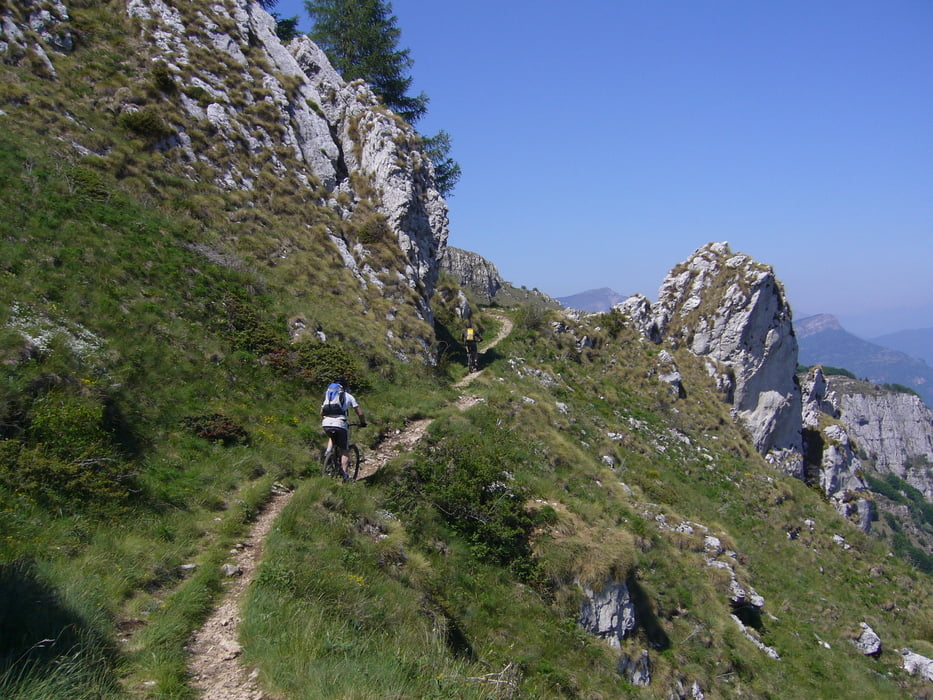
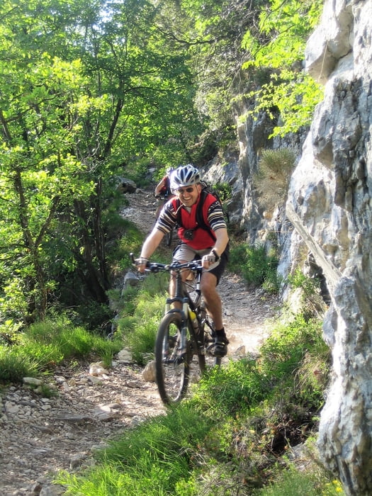
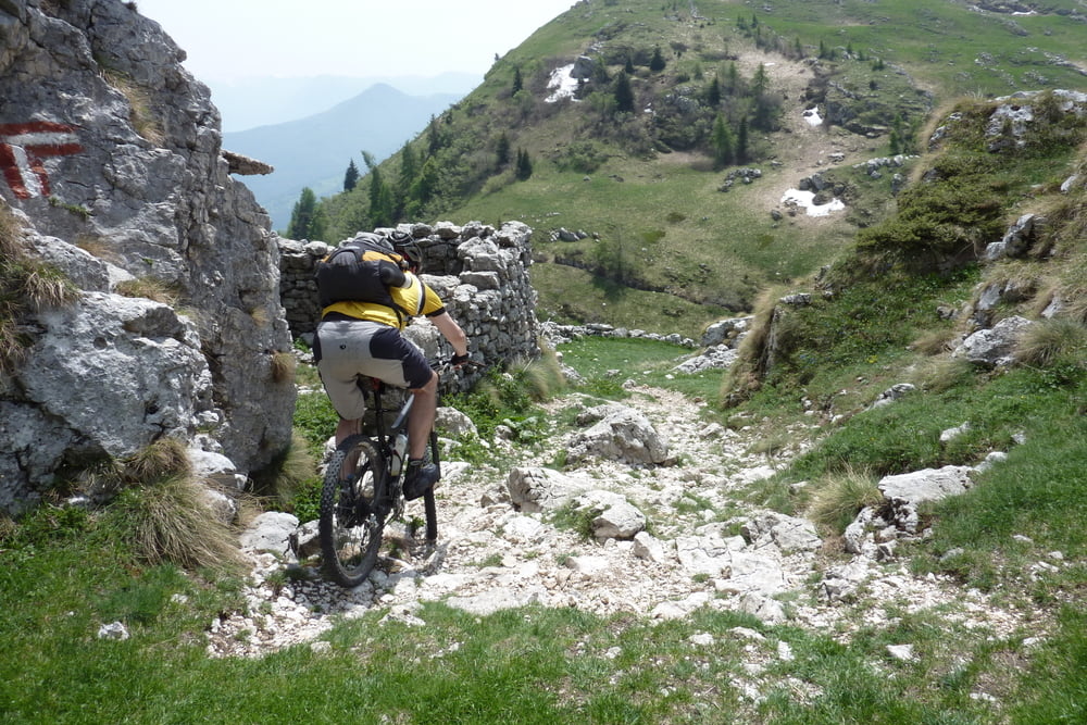
Wenn die Berge schneefrei sind Fahren die Shuttels von Riva zum Rivugio Graziani. Von dort geht es gleich einmal 426hm auf grober Schotterstraße auf den Monte Altissimo Gipfel mit herrlichem Rundblick. Auf dem 622 geht’s auf wunderschönem Wiesen Trail runter zur Malga Campo und der höhen Linie folgend flach bergab (Weg 650) zur Malga Campei di Sotto. Nach verdienter Rast kann man dem Track folgenden einen fordernden Felsen Trail zur Straße abfahren- oder sich links halten und ein alte Betonstrasse abfahren. Nun geht es dem Track folgenden 485hm zum Einstieg vom „Sechser“ nach Navene. Dieser Singeltrial bietet alles was das MTB Herz begehrt: Wald, Schotter, Fels und Serpentinen auf 10km & 1200 hm. Mit Rückenwind geht es dann auf der Bundesstraße zurück nach Riva.
Galerija izletov
Zemljevid in višinski profil izleta
Minimum height 78 m
Maximum height 2057 m

Komentarji

Poti GPS
Trackpoints-
GPX / Garmin Map Source (gpx) download
-
TCX / Garmin Training Center® (tcx) download
-
CRS / Garmin Training Center® (crs) download
-
Google Earth (kml) download
-
G7ToWin (g7t) download
-
TTQV (trk) download
-
Overlay (ovl) download
-
Fugawi (txt) download
-
Kompass (DAV) Track (tk) download
-
List z izleti (pdf) download
-
Original file of the author (gpx) download
Add to my favorites
Remove from my favorites
Edit tags
Open track
My score
Rate