Login

Si pozabil/a podatke za prijavo?

Cookies have to be accepted!
Your browser's cookie functionality is disabled. Please enable this functionality.

Not a member yet?

Register now
Login

Available for registred users only

Log in to use this feature.

Si pozabil/a podatke za prijavo?

Cookies have to be accepted!
Your browser's cookie functionality is disabled. Please enable this functionality.

Not a member yet?

Register now
Filter
Kategorije
Advanced filters
  • Dolžina (km)
  • Metri nadmorske višine
Shrani filter Reset filter

TrackRank

QRCode

Technical data

Dolžina5,9 km Metri nadmorske višine44 m Way down75 m Trajanje00:00 h:m Datum20.07.2008
Ocene Author Pokrajina Dejavnik zabave Kondicija Tehnika

Statistika

2004 Pogledi Ocene 54 Prenosi Povprečje
Rate
  • List z izleti
  • Prihod
  • Prenosi

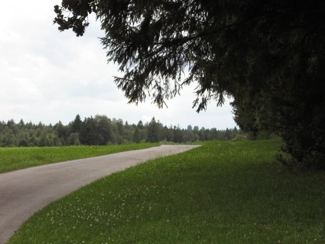
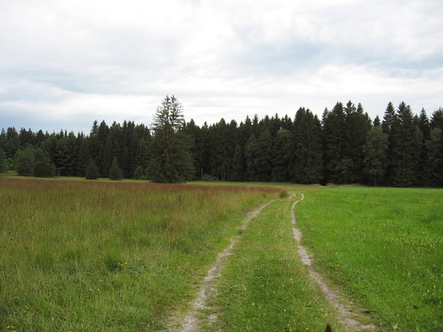
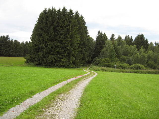
Nordic Walking oder kleine Wanderrunde um das Schwarzlaichmoor

tolle Runde um das an Hohenpeißenberg angrenzende Moorgebiet.
Egal ob als Nordic-Walking, kleine Wanderrunde, Sonntag-Nachmittag Spaziergang oder auch mit dem Fahrrad führt die Tour durch einmaliges Naturschutzgebiet.

Start ist am Hohenpeißenberger Haus der Vereine mit Parkmöglichkeit.

Gleich neben Start und Zielpunkt der Runde befindet sich der Gasthof Hetten, dieser bietet eine gute Einkehrmöglichkeit um die verbrannten Kalorien gleich wieder aufzufüllen :-)

Further information at

http://www.hohenpeissenberg.de

Galerija izletov

Zemljevid in višinski profil izleta

  • Open Street Map
  • Google
Minimum height 746 m Maximum height 803 m Prikaz podrobnosti

More about the tour author

Ritzelflitzer
Member since 2008

Send private message

Komentarji

Poti GPS

Trackpoints
  • GPX / Garmin Map Source (gpx) download
  • TCX / Garmin Training Center® (tcx) download
  • CRS / Garmin Training Center® (crs) download
  • Google Earth (kml) download
  • G7ToWin (g7t) download
  • TTQV (trk) download
  • Overlay (ovl) download
  • Fugawi (txt) download
  • Kompass (DAV) Track (tk) download
  • List z izleti (pdf) download
  • Original file of the author (gpx) download

More about the tour author

Ritzelflitzer
Member since 2008

Send private message
Share track
Add to my favorites
Remove from my favorites
Edit tags
My score
Rate
Izlet: Um das Schwarzlaichmoor bei Hohenpeißenberg
Vrsta: Nordijska hoja
Dolžina: 5,9 km
Evaluated on:
Trajanje:
Day(s)
Hour(s)
Minute(s)
Ocena: Pokrajina Dejavnik zabave Kondicija Tehnika