Login

Si pozabil/a podatke za prijavo?

Cookies have to be accepted!
Your browser's cookie functionality is disabled. Please enable this functionality.

Not a member yet?

Register now
Login

Available for registred users only

Log in to use this feature.

Si pozabil/a podatke za prijavo?

Cookies have to be accepted!
Your browser's cookie functionality is disabled. Please enable this functionality.

Not a member yet?

Register now
Filter
Kategorije
Advanced filters
  • Dolžina (km)
  • Metri nadmorske višine
Shrani filter Reset filter

TrackRank

QRCode

Technical data

Dolžina3,8 km Metri nadmorske višine50 m Way down49 m Trajanje00:00 h:m Datum20.07.2008
Ocene Author Pokrajina Dejavnik zabave Kondicija Tehnika

Statistika

955 Pogledi Ocene 28 Prenosi Povprečje
Rate
  • List z izleti
  • Prihod
  • Prenosi

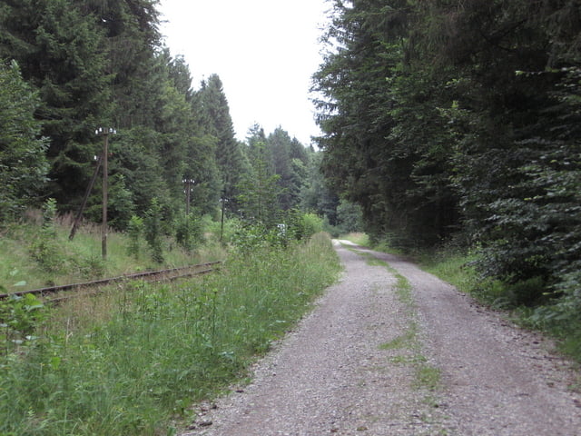
Nordic Walking oder Spaziergang beim Kohlbach südlich von Hohenpeißenberg.

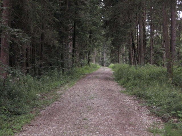
Kleine gemütliche Runde auf gutem Forst- und Waldweg.

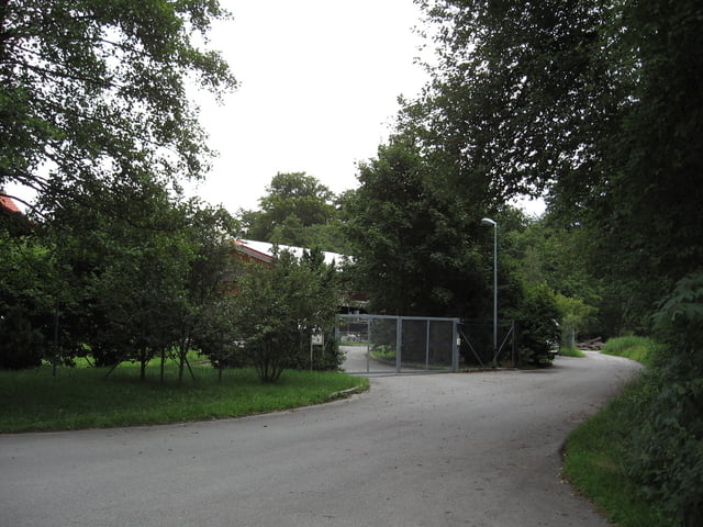
Start und Zielpunkt der Runde ist das Bauhofgelände der Gemeinde Hohenpeißenberg, hier befindet sich auch ein geeigneter Parkplatz für Wanderer und Spaziergänger.

Further information at

http://www.hohenpeissenberg.de

Galerija izletov

Zemljevid in višinski profil izleta

  • Open Street Map
  • Google
Minimum height 677 m Maximum height 718 m Prikaz podrobnosti

More about the tour author

Ritzelflitzer
Member since 2008

Send private message

Komentarji

Poti GPS

Trackpoints
  • GPX / Garmin Map Source (gpx) download
  • TCX / Garmin Training Center® (tcx) download
  • CRS / Garmin Training Center® (crs) download
  • Google Earth (kml) download
  • G7ToWin (g7t) download
  • TTQV (trk) download
  • Overlay (ovl) download
  • Fugawi (txt) download
  • Kompass (DAV) Track (tk) download
  • List z izleti (pdf) download
  • Original file of the author (gpx) download

More about the tour author

Ritzelflitzer
Member since 2008

Send private message
Share track
Add to my favorites
Remove from my favorites
Edit tags
My score
Rate
Izlet: Kohlbachrunde bei Hohenpeißenberg
Vrsta: Nordijska hoja
Dolžina: 3,8 km
Evaluated on:
Trajanje:
Day(s)
Hour(s)
Minute(s)
Ocena: Pokrajina Dejavnik zabave Kondicija Tehnika