Login

Si pozabil/a podatke za prijavo?

Cookies have to be accepted!
Your browser's cookie functionality is disabled. Please enable this functionality.

Not a member yet?

Register now
Login

Available for registred users only

Log in to use this feature.

Si pozabil/a podatke za prijavo?

Cookies have to be accepted!
Your browser's cookie functionality is disabled. Please enable this functionality.

Not a member yet?

Register now
Filter
Kategorije
Advanced filters
  • Dolžina (km)
  • Metri nadmorske višine
Shrani filter Reset filter

TrackRank

QRCode

Technical data

Dolžina164,2 km Metri nadmorske višine203 m Way down212 m Trajanje00:00 h:m Datum09.10.2005
Ocene Author Pokrajina Dejavnik zabave Kondicija Tehnika

Statistika

3794 Pogledi 1 Ocena 639 Prenosi 3.00 Povprečje
Rate
  • List z izleti
  • Prihod
  • Prenosi
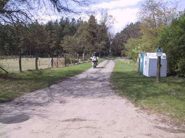
Rundtour etwas durchwachsen, Teilstrecke Sandpiste. Alleen gesichert mit Geschwindigkeitsbegrenzung. Nebenstrecken (Bauerntrampelpfade) teils Schotter und Sand.

Galerija izletov

Zemljevid in višinski profil izleta

  • Open Street Map
  • Google
Minimum height 41 m Maximum height 112 m Prikaz podrobnosti

More about the tour author

LWAF
Member since 2005

Send private message

Komentarji

Poti GPS

Trackpoints
  • GPX / Garmin Map Source (gpx) download
  • TCX / Garmin Training Center® (tcx) download
  • CRS / Garmin Training Center® (crs) download
  • Google Earth (kml) download
  • G7ToWin (g7t) download
  • TTQV (trk) download
  • Overlay (ovl) download
  • Fugawi (txt) download
  • Kompass (DAV) Track (tk) download
  • List z izleti (pdf) download
  • Original file of the author (gpx) download

More about the tour author

LWAF
Member since 2005

Send private message
Share track
Add to my favorites
Remove from my favorites
Edit tags
My score
Rate
Izlet: Maitour in MeckPom
Vrsta: Motorno kolo
Dolžina: 164,2 km
Evaluated on:
Trajanje:
Day(s)
Hour(s)
Minute(s)
Ocena: Pokrajina Dejavnik zabave Kondicija Tehnika