


Radtour mit sanften Gefälle durch das romantische Mühltal!
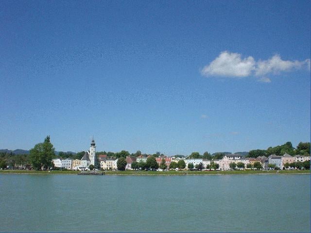
Bei einem sanften Gefälle folgt die Radtour dem Lauf der Kleinen Mühl. Im romantischen Flusstal führt der Weg auf wenig befahrenen Straßen bis zur Donau. Für den Rückweg empfehlen wir eine entspannte Fahrt mit der Mühlkreisbahn.
Ausgangspunkt dieser Tour ist am Bahnhof Rohrbach-Berg.
Weg Nr. R26
Fordern Sie unsere Radkarte um EUR 3,00 hier an: info@boehmerwald.at!
Oder rufen Sie uns einfach an: Infotelefon +43 5 7890 100.
NEU - Elektrobikes im Verleih von Mai bis Oktober!
Further information at
http://www.boehmerwald.atGalerija izletov
Zemljevid in višinski profil izleta
Minimum height 261 m
Maximum height 682 m
More about the tour author
|
|
aigen-schlaegl |
Komentarji

Mit dem Auto
ab Linz: B127 bis Rohrbach/Berg
ab Passau: Grenzübergang Wegscheid - Kollerschlag - Peilstein - Öpping - Rohrbach/Berg
ab Tschechien: Grenzübergang Gugelwald - Haslach an der Mühl - Rohrbach/Berg
Mit der Bahn: ab Linz-Mühlkreisbahnhof bis Bhf Rohrbach/Berg http://www.oebb.at
Mit dem Bus: http://www.oebb.at
Poti GPS
Trackpoints-
GPX / Garmin Map Source (gpx) download
-
TCX / Garmin Training Center® (tcx) download
-
CRS / Garmin Training Center® (crs) download
-
Google Earth (kml) download
-
G7ToWin (g7t) download
-
TTQV (trk) download
-
Overlay (ovl) download
-
Fugawi (txt) download
-
Kompass (DAV) Track (tk) download
-
List z izleti (pdf) download
More about the tour author
|
|
aigen-schlaegl |
Add to my favorites
Remove from my favorites
Edit tags
Open track
My score
Rate