


Route durch die wunderbare Hügelwelt des Mühlviertels!
Die hügelige Landschaft des Mühlviertels hält für den Radfahrer sicher so manche Herausforderung bereit. Wer sich aber für eine solche Berg- und Talfahrt entscheidet, wird mit kleinen Erfolgserlebnissen und den schönsten Ausblicken belohnt.
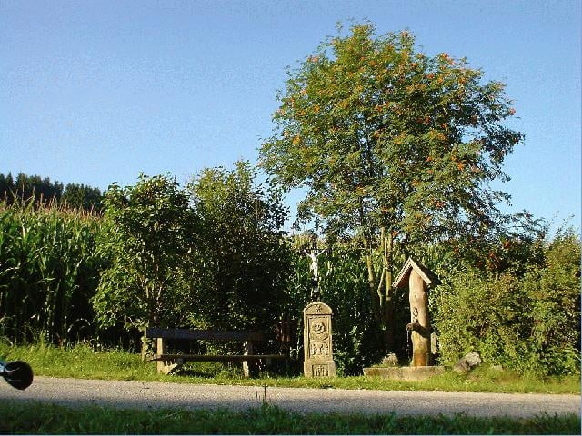
Ausgangspunkt dieser Tour ist am Ortsplatz in Klaffer am Hochficht.
Weg Nr. 806
Fordern Sie unsere Radkarte um EUR 3,00 hier an: info@boehmerwald.at!
Oder rufen Sie uns einfach an: Infotelefon +43 5 7890 100.
NEU - Elektrobikes im Verleih von Mai bis Oktober!
Further information at
http://www.boehmerwald.atGalerija izletov
Zemljevid in višinski profil izleta
Minimum height 504 m
Maximum height 764 m
More about the tour author
|
|
aigen-schlaegl |
Komentarji

Mit dem Auto:
ab Linz: B127 bis Rohrbach - Öpping - Aigen-Schlägl - Ulrichsberg - Klaffer
ab Passau: Grenzübergang Breitenberg - Klaffer
ab Tschechien: Grenzübergang Zadni Zvonkova/Schöneben - Ulrichsberg - Klaffer
Mit der Bahn: ab Linz-Mühlkreisbahnhof - Bhf Aigen - weiter mit dem Bus bis Klaffer http://www.oebb.at
Mit dem Bus: http://www.oebb.at
Poti GPS
Trackpoints-
GPX / Garmin Map Source (gpx) download
-
TCX / Garmin Training Center® (tcx) download
-
CRS / Garmin Training Center® (crs) download
-
Google Earth (kml) download
-
G7ToWin (g7t) download
-
TTQV (trk) download
-
Overlay (ovl) download
-
Fugawi (txt) download
-
Kompass (DAV) Track (tk) download
-
List z izleti (pdf) download
-
Original file of the author (gpx) download
More about the tour author
|
|
aigen-schlaegl |
Add to my favorites
Remove from my favorites
Edit tags
Open track
My score
Rate