

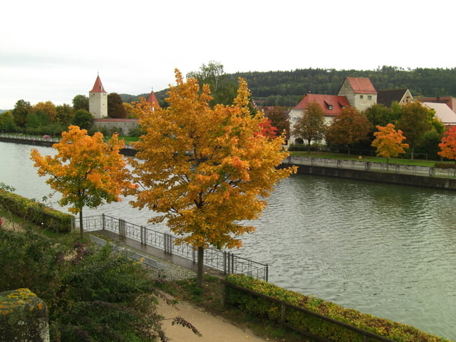

Bei Obermässing sind die Wegtafeln wieder ok, d. h. kein ausgekraztes "Franken"
Die Etappe davor: www.gps-tour.info/de/touren/detail.26604.html
Die Etappe danach: www.gps-tour.info/de/touren/detail.26602.html
Further information at
http://www.frankenweg.de/Galerija izletov
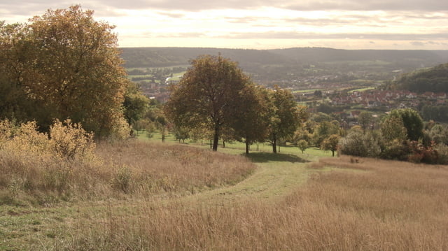
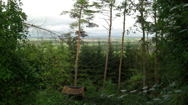
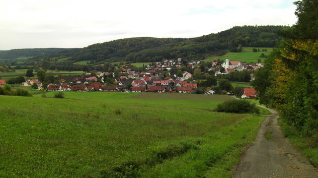
Zemljevid in višinski profil izleta
Minimum height 387 m
Maximum height 566 m
More about the tour author
|
|
Rezatfisch |
Komentarji

More about the tour author
|
|
Rezatfisch |
Add to my favorites
Remove from my favorites
Edit tags
Open track


My score
Rate