

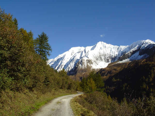

1. Tag, ca. 1900 hm, 49km
Start in Finkenberg - Vorderlanersbach - Lanersbach - Bichlalm - Sommerbergalm - Tuxer-Joch Haus - Tuxer Joch - Kasern - Schmirn - St. Jodok - Lippenhof - Gasthof Steckholzer
Übernachtung: Gasthof Steckholzer oder in Gries
2. Tag, ca. 2000hm, 72km
Gasthof Steckholzer - Padaun - Brennerstraße - Brenner – Enzianhütte - Schlüsseljoch - St. Jakob - Pfitscher Joch - Schlegeisspeicher - Ginzling - Finkenberg
Start in Finkenberg - Vorderlanersbach - Lanersbach - Bichlalm - Sommerbergalm - Tuxer-Joch Haus - Tuxer Joch - Kasern - Schmirn - St. Jodok - Lippenhof - Gasthof Steckholzer
Übernachtung: Gasthof Steckholzer oder in Gries
2. Tag, ca. 2000hm, 72km
Gasthof Steckholzer - Padaun - Brennerstraße - Brenner – Enzianhütte - Schlüsseljoch - St. Jakob - Pfitscher Joch - Schlegeisspeicher - Ginzling - Finkenberg
Galerija izletov

Zemljevid in višinski profil izleta
Minimum height 99999 m
Maximum height 2147483647 m
More about the tour author

|
Komentarji

More about the tour author
|
|
Add to my favorites
Remove from my favorites
Edit tags
Open track


My score
Rate