

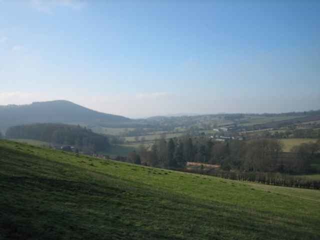

The Wenlock Edge is an escarpment running east of the Long Mynd, which is south of Shrewsbury. The area around is open farmland with some wooded areas. The walk goes through the small villages of Aston Munslow and Diddlebury.
I did this walk after a drive from London, starting at about 11am, and finishing by 3pm. I then stayed at the Bridges Youth Hostel which is located in Ratlinghope west of Church Stretton, which is the best place to buy food in the area.
I did this walk after a drive from London, starting at about 11am, and finishing by 3pm. I then stayed at the Bridges Youth Hostel which is located in Ratlinghope west of Church Stretton, which is the best place to buy food in the area.
Further information at
http://www.walkingbritain.co.uk/walks/walksa/wa022.shtmlGalerija izletov
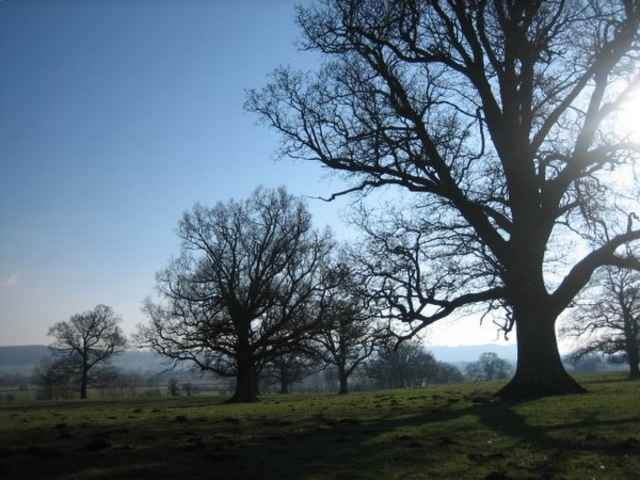
Zemljevid in višinski profil izleta
Minimum height 105 m
Maximum height 277 m
More about the tour author

|
zangezur |
Komentarji

More about the tour author
|
|
zangezur |
Add to my favorites
Remove from my favorites
Edit tags
Open track


My score
Rate