

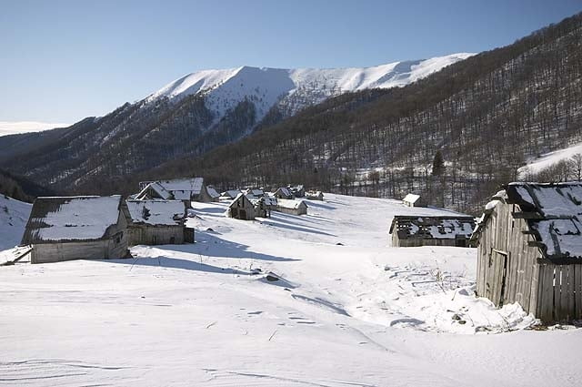
We start our trip in Krasna village and go almost straight on up to the ridge. Next days we spent on beautiful Svidovec ridge which was covered by powder snow in this period of time. We spent one night in tent in the saddle of the main ridge during snowstorm and next days we preferred sleeping in the shepherd's huts. After seven days we reach Rakhiv town from where we come back home.
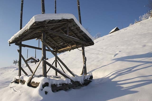
If you are afraid of sleeping in the tent on the snow you can sleep in lonely shepherd's hut which is practically everywhere on pastures up to the end of the forest level. However, you must count with some delay because it takes usually a lot of descends from main ridge. But I think your trip will be more varied and eventful and even more, you can light a fire and cook some dinner and make gallons of tea :-).
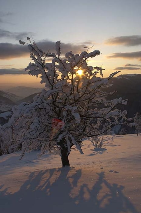
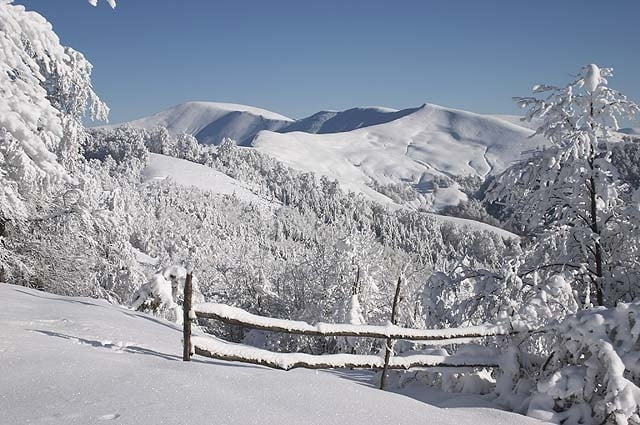
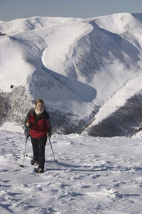
Winter with sunny weather is great time in order to visit these mountains despite the cold, which was somewhere between -5 -15 degrees of centigrade.
If you are afraid of sleeping in the tent on the snow you can sleep in lonely shepherd's hut which is practically everywhere on pastures up to the end of the forest level. However, you must count with some delay because it takes usually a lot of descends from main ridge. But I think your trip will be more varied and eventful and even more, you can light a fire and cook some dinner and make gallons of tea :-).
Winter with sunny weather is great time in order to visit these mountains despite the cold, which was somewhere between -5 -15 degrees of centigrade.
Further information at
http://www.ms.mff.cuni.cz/~jhum8111/hory/ukrajina_2008/ukrajina_2008.htmlGalerija izletov
Zemljevid in višinski profil izleta
Minimum height 424 m
Maximum height 1890 m
More about the tour author

|
jhum8111 |
Komentarji

More about the tour author
|
|
jhum8111 |
Add to my favorites
Remove from my favorites
Edit tags
Open track
My score
Rate