


Weitere Bilder: www.panoramio.com/photo/18663005
Die Tour geht hauptsächlich auf Forstwegen (keine Single-trails, bis auf 2 kurze Ausnahmen). Es geht nördlich an Schönaich vorbei und dann Richtung Leinfelden. Vermieden werden die Städte (außer in Stuttgart-Wangen, da wollte ich zu einem Geschäft hin). Ab Stuttgart Wangen geht es am Neckar lang. Der Rückweg ist westlich von Stuttgart, z. B. geht es durch den Rotwildpark.
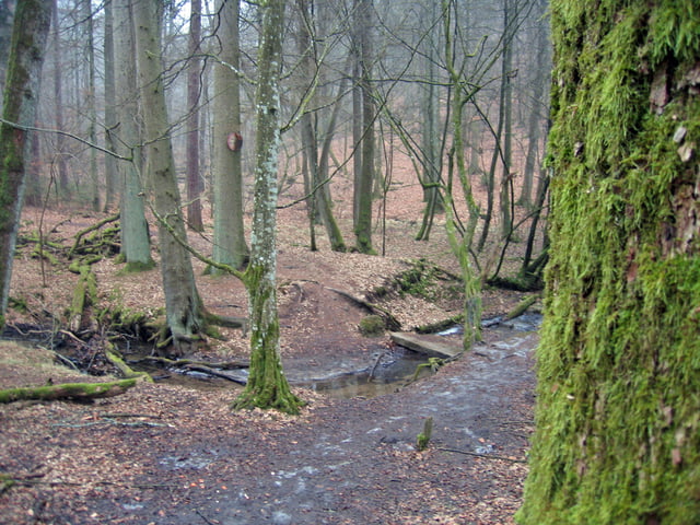
An zwei Stellen - siehe Fotos - muss darauf geachtet werden, nicht am Abzeig vorbeizufahren.
Further information at
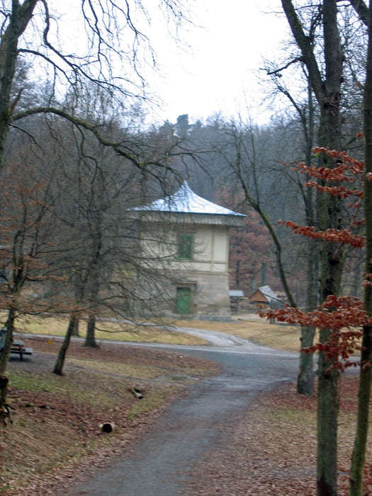
http://www.baerenschloessle-stuttgart.de/Galerija izletov
Zemljevid in višinski profil izleta
Minimum height 220 m
Maximum height 648 m
More about the tour author
|
|
MatthiasBy |
Komentarji

Gut geparkt werden kann im Industriegebiet Hulb.
S-Bahn: Haltestelle Böblingen-Hulb ist gut: www.vvs.de
Poti GPS
Trackpoints-
GPX / Garmin Map Source (gpx) download
-
TCX / Garmin Training Center® (tcx) download
-
CRS / Garmin Training Center® (crs) download
-
Google Earth (kml) download
-
G7ToWin (g7t) download
-
TTQV (trk) download
-
Overlay (ovl) download
-
Fugawi (txt) download
-
Kompass (DAV) Track (tk) download
-
List z izleti (pdf) download
-
Original file of the author (gpx) download
More about the tour author
|
|
MatthiasBy |
Add to my favorites
Remove from my favorites
Edit tags
Open track
My score
Rate